MyTopo
Alta Vista Ranch SW Texas US Topo Map
Couldn't load pickup availability
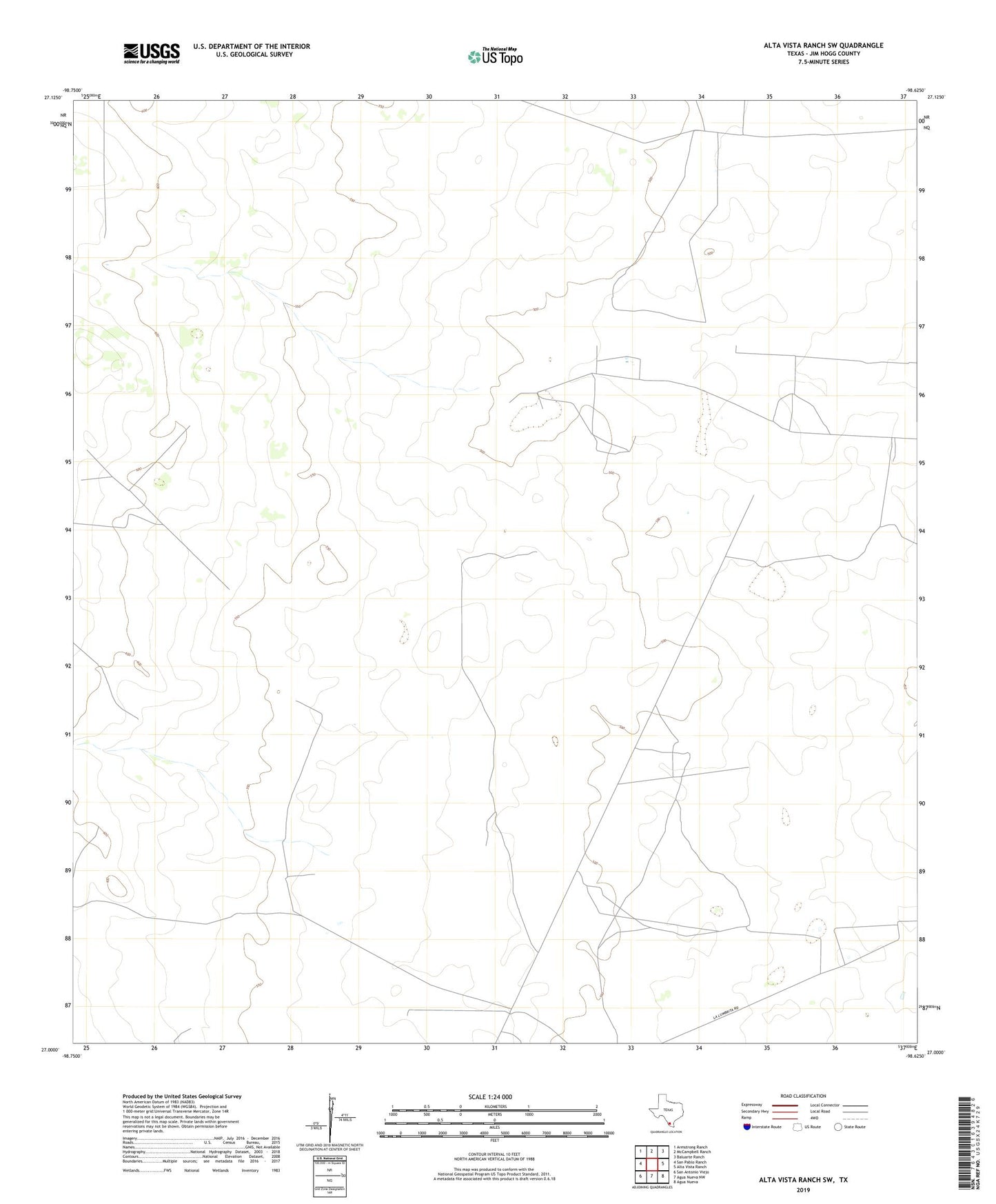
2022 topographic map quadrangle Alta Vista Ranch SW in the state of Texas. Scale: 1:24000. Based on the newly updated USGS 7.5' US Topo map series, this map is in the following counties: Jim Hogg. The map contains contour data, water features, and other items you are used to seeing on USGS maps, but also has updated roads and other features. This is the next generation of topographic maps. Printed on high-quality waterproof paper with UV fade-resistant inks.
Quads adjacent to this one:
West: San Pablo Ranch
Northwest: Armstrong Ranch
North: McCampbell Ranch
Northeast: Baluarte Ranch
East: Alta Vista Ranch
Southeast: Agua Nueva
South: Agua Nueva NW
Southwest: San Antonio Viejo
This map covers the same area as the classic USGS quad with code o27098a6.
Contains the following named places: Barrelosa Windmill, Berrendo Windmill, Blanco Windmill, Cabeza de Toro Windmill, Coloraditas Windmill, Colorado Windmill, El Camino Windmill, El Nuevo Windmill, El Toro Windmill, Frijole Windmill, Guadalupe Windmill, Jim Hogg County, La Retama Windmill, Marrina Windmill, Melargo Windmill, Palo Blanco Windmill, Patato Windmill, Pita Windmill, San Pedro Windmill, San Rafael Windmill, Santa Lucia Windmill, Santa Rita Windmill, Tegulero Windmill, Toedgar Windmill, Trampa Verde Windmill, Verrando Windmill