MyTopo
Arroyo Melado Texas US Topo Map
Regular price
$16.95
Regular price
Sale price
$16.95
Unit price
per
Couldn't load pickup availability
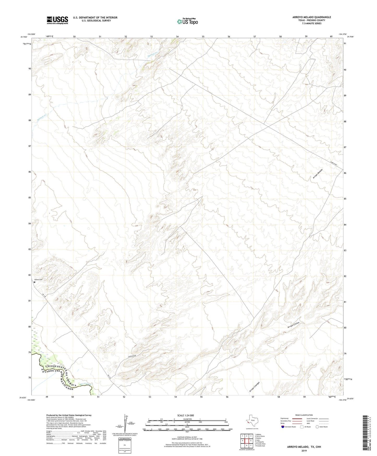
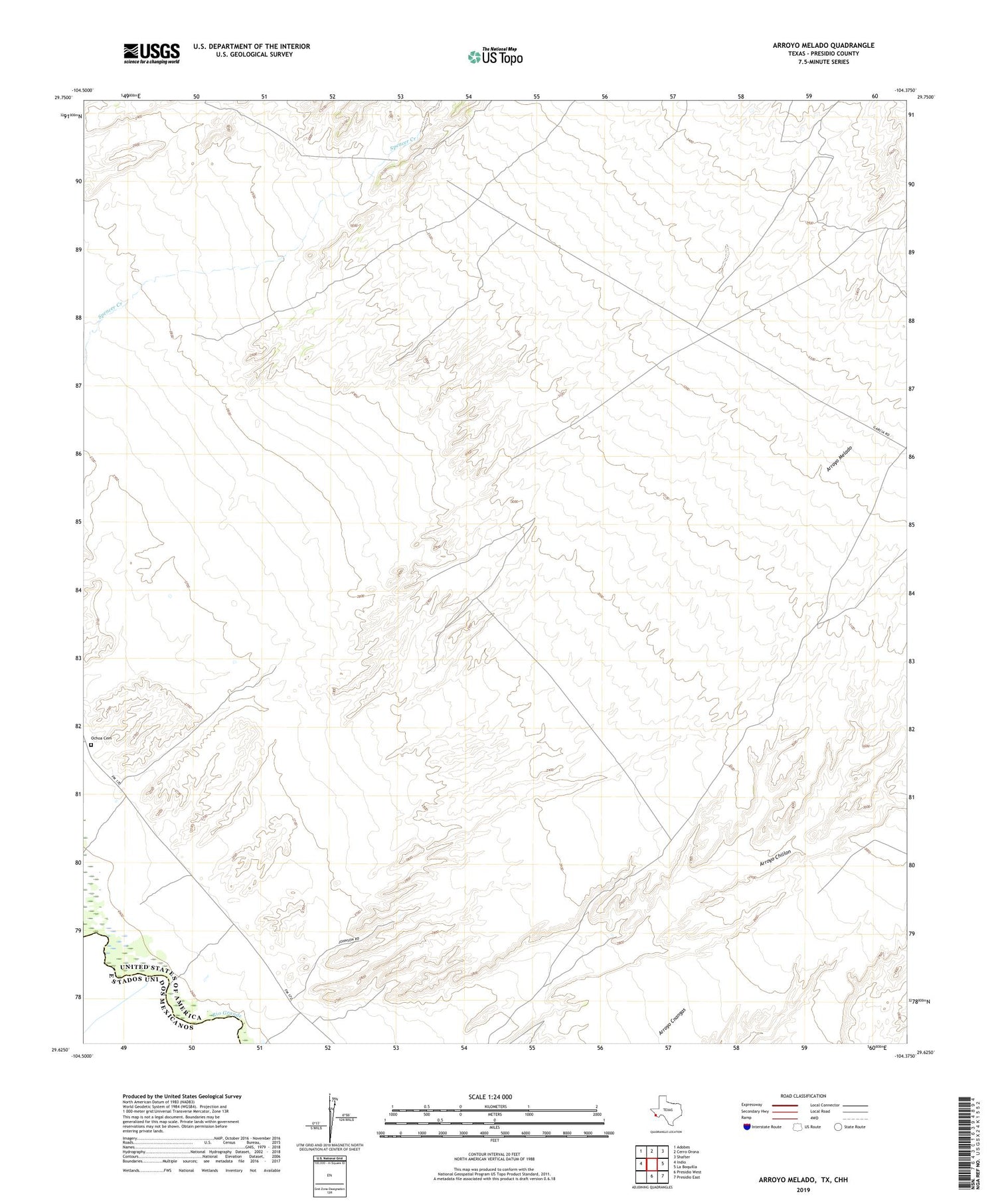
2019 topographic map quadrangle Arroyo Melado in the state of Texas. Scale: 1:24000. Based on the newly updated USGS 7.5' US Topo map series, this map is in the following counties: Presidio. The map contains contour data, water features, and other items you are used to seeing on USGS maps, but also has updated roads and other features. This is the next generation of topographic maps. Printed on high-quality waterproof paper with UV fade-resistant inks.
Quads adjacent to this one:
West: Indio
Northwest: Adobes
North: Cerro Orona
Northeast: Shafter
East: La Boquilla
Southeast: Presidio East
South: Presidio West
Contains the following named places: Ochoa Cemetery