MyTopo
Adobes Texas US Topo Map
Couldn't load pickup availability
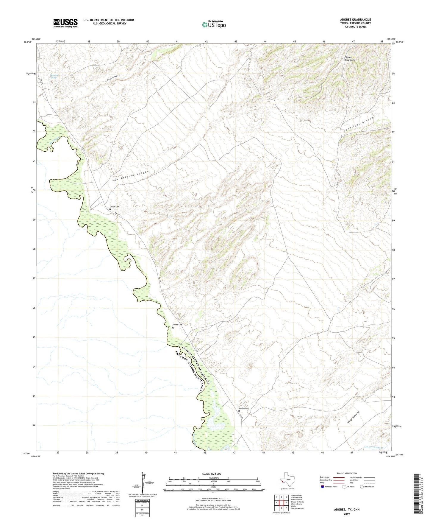
2022 topographic map quadrangle Adobes in the state of Texas. Scale: 1:24000. Based on the newly updated USGS 7.5' US Topo map series, this map is in the following counties: Presidio. The map contains contour data, water features, and other items you are used to seeing on USGS maps, but also has updated roads and other features. This is the next generation of topographic maps. Printed on high-quality waterproof paper with UV fade-resistant inks.
Quads adjacent to this one:
West: Vado De Piedra
Northwest: Las Conchas
North: Sierra Parda
Northeast: Chinati Peak
East: Cerro Orona
Southeast: Arroyo Melado
South: Indio
This map covers the same area as the classic USGS quad with code o29104g5.
Contains the following named places: Adobe Cemetery, Adobes, Adobes Cemetery, Arroyo Cienega, Chinati, Chinati Cemetery, Pelillos Arroyo, San Antonio Canyon, San Jose Spring, Vado Crossing