
MyTopo
Barrilla Mountains East Texas US Topo Map
Couldn't load pickup availability
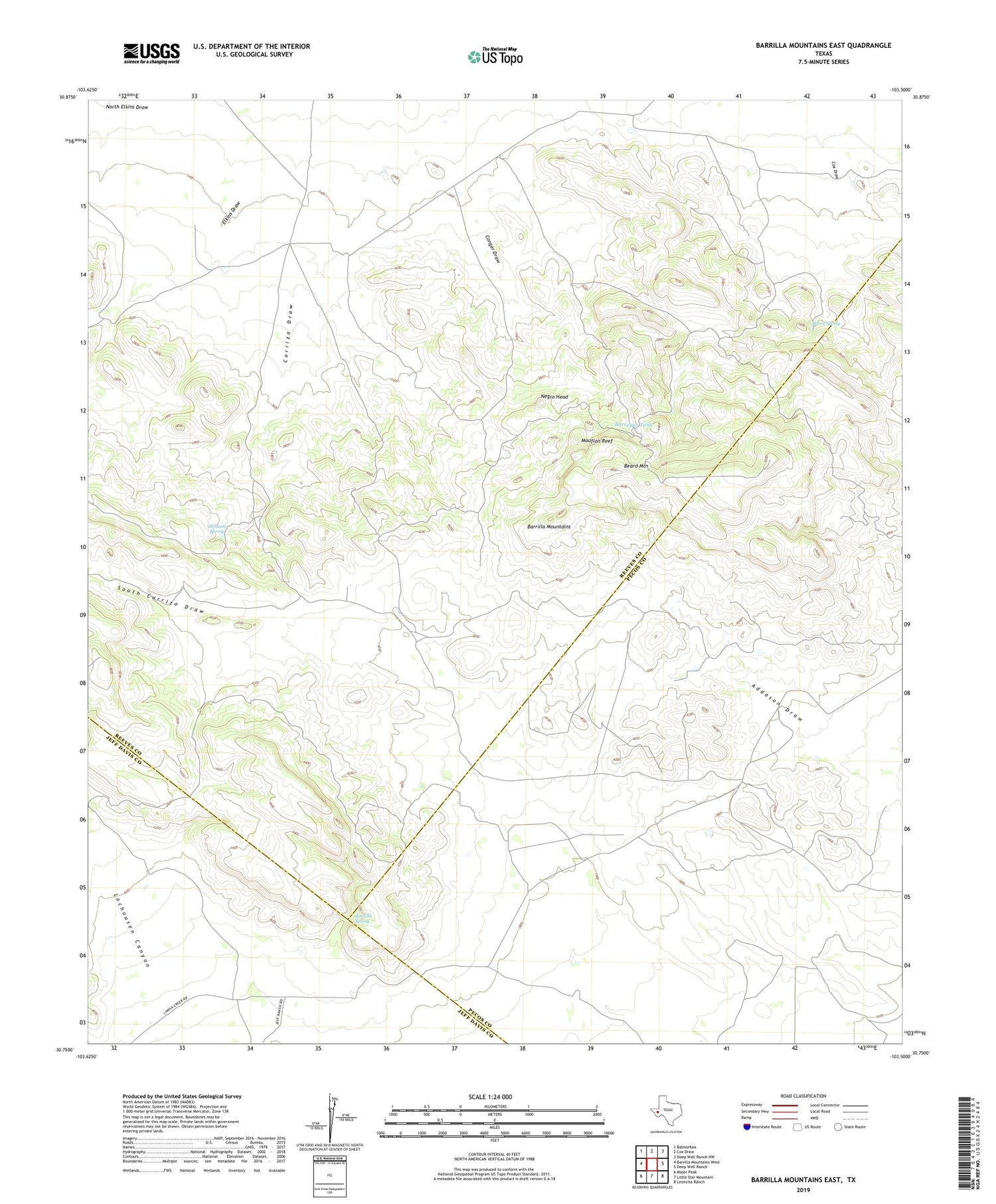
2019 topographic map quadrangle Barrilla Mountains East in the state of Texas. Scale: 1:24000. Based on the newly updated USGS 7.5' US Topo map series, this map is in the following counties: Reeves, Pecos, Jeff Davis. The map contains contour data, water features, and other items you are used to seeing on USGS maps, but also has updated roads and other features. This is the next generation of topographic maps. Printed on high-quality waterproof paper with UV fade-resistant inks.
Quads adjacent to this one:
West: Barrilla Mountains West
Northwest: Balmorhea
North: Cox Draw
Northeast: Deep Well Ranch NW
East: Deep Well Ranch
Southeast: Leoncita Ranch
South: Little Star Mountain
Southwest: Major Peak
Contains the following named places: Alto Vista Tank, Barrilla Spring, Beard Mountain, Beard Spring, Borregus Tank, Cuatro Caminos, El Canon Well, Henry Flipper Hill, House Well, Mexican Spring, Mouflon Reef, Paisano Tank, Pipe Windmill, Quinientas Well, South Camp, South Well, Tres Parlmas Tank, U Ranch


