MyTopo
Bean Hills Texas US Topo Map
Couldn't load pickup availability
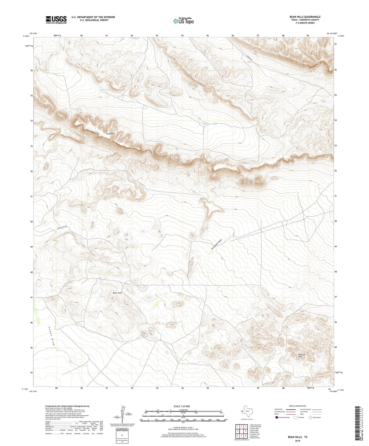
2019 topographic map quadrangle Bean Hills in the state of Texas. Scale: 1:24000. Based on the newly updated USGS 7.5' US Topo map series, this map is in the following counties: Hudspeth. The map contains contour data, water features, and other items you are used to seeing on USGS maps, but also has updated roads and other features. This is the next generation of topographic maps. Printed on high-quality waterproof paper with UV fade-resistant inks.
Quads adjacent to this one:
West: Dome Peak
Northwest: Movie Mountain
North: Sneed Mountain
Northeast: Collier Mesa
East: Sheep Peak
Southeast: Hackett Peak
South: Allamoore
Southwest: Grayton Lake
Contains the following named places: Bean Hills, Dullnig Ranch, Goat Mountain, Keene Ranch, Sand Hollow Windmill, Sierra Diablo, Skinner Tank, South Tank