MyTopo
Big Hill Texas US Topo Map
Couldn't load pickup availability
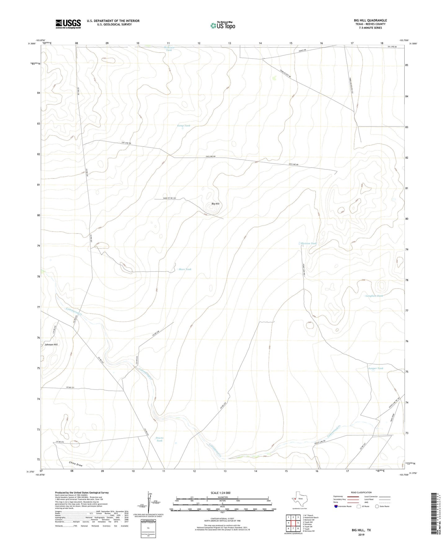
2019 topographic map quadrangle Big Hill in the state of Texas. Scale: 1:24000. Based on the newly updated USGS 7.5' US Topo map series, this map is in the following counties: Reeves. The map contains contour data, water features, and other items you are used to seeing on USGS maps, but also has updated roads and other features. This is the next generation of topographic maps. Printed on high-quality waterproof paper with UV fade-resistant inks.
Quads adjacent to this one:
West: Toyah NW
Northwest: W T Ranch
North: Halamicek Ranch
Northeast: Mentone SW
East: Hermosa
Southeast: Hermosa SW
South: Toyah
Southwest: Toyah SW
Contains the following named places: Big Hill, Britt Well, Bug Windmill, Cottonwood Creek, Division Tank, Downs Tank, High Lonesome Windmill, Johnson Hill, Johnson Windmill, Jumper Tank, Kemp Tank, Langham Tank, Mare Tank, McIlvain Tank, New Windmill, Old Ranch Windmill, R E Windmill, Wire Pen Windmill