MyTopo
Mentone SW Texas US Topo Map
Couldn't load pickup availability
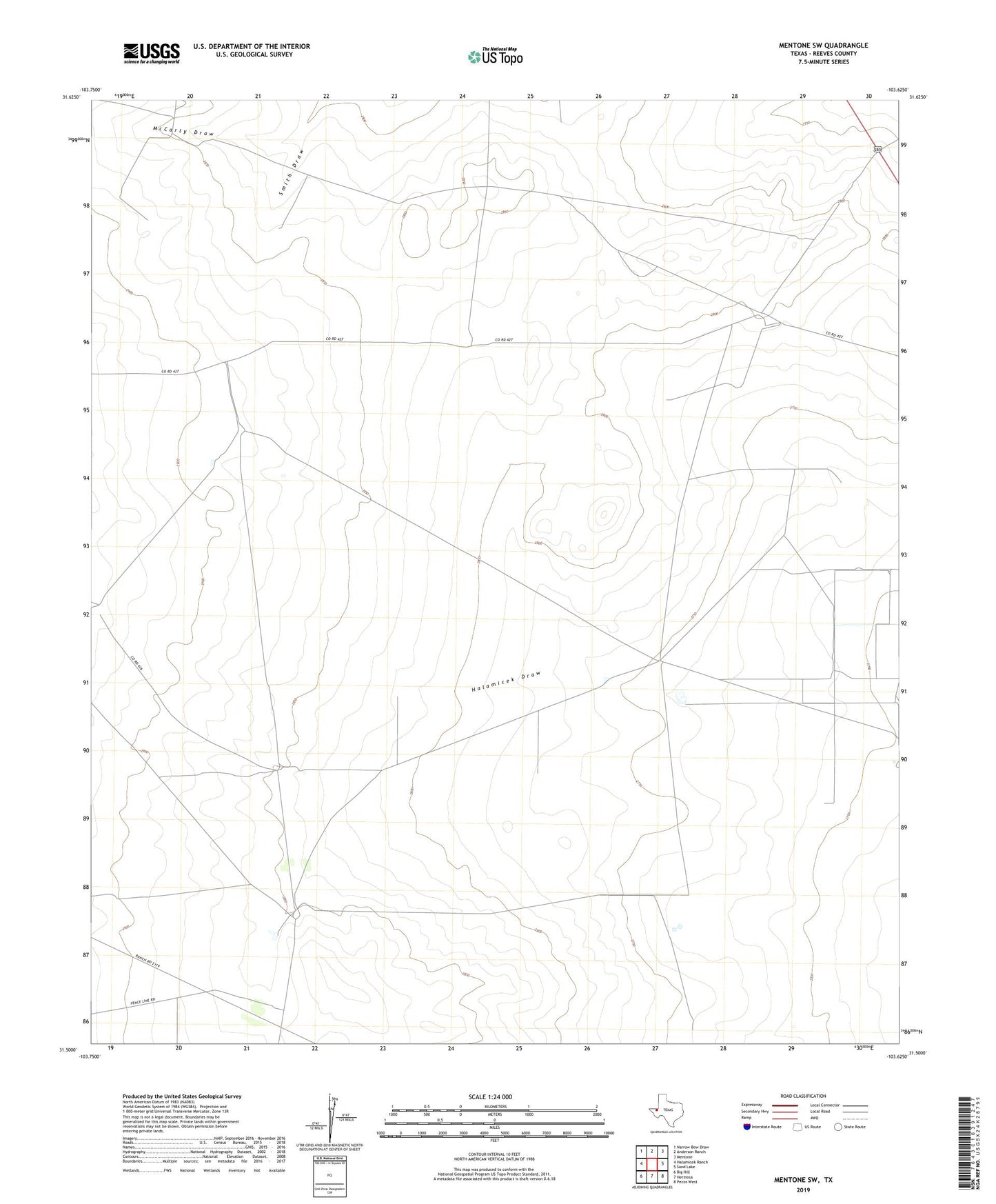
2022 topographic map quadrangle Mentone SW in the state of Texas. Scale: 1:24000. Based on the newly updated USGS 7.5' US Topo map series, this map is in the following counties: Reeves. The map contains contour data, water features, and other items you are used to seeing on USGS maps, but also has updated roads and other features. This is the next generation of topographic maps. Printed on high-quality waterproof paper with UV fade-resistant inks.
Quads adjacent to this one:
West: Halamicek Ranch
Northwest: Narrow Bow Draw
North: Anderson Ranch
Northeast: Mentone
East: Sand Lake
Southeast: Pecos West
South: Hermosa
Southwest: Big Hill
This map covers the same area as the classic USGS quad with code o31103e6.
Contains the following named places: Center Windmill, Division Windmill, Eightfoot Windmill, Halamicek Draw, Kelton Windmill, McCarty Draw, Railroad Windmill, Road Windmill, Simmons Windmill, Steel Windmill, West Windmill