MyTopo
Blanconia Texas US Topo Map
Couldn't load pickup availability
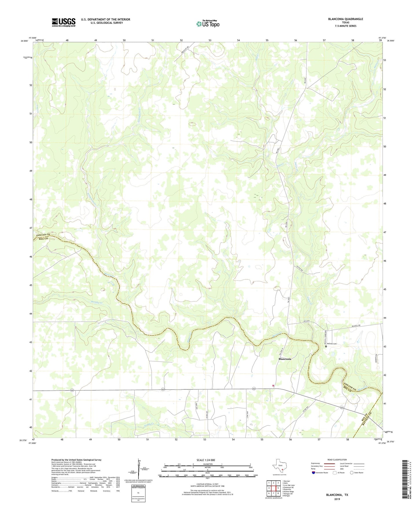
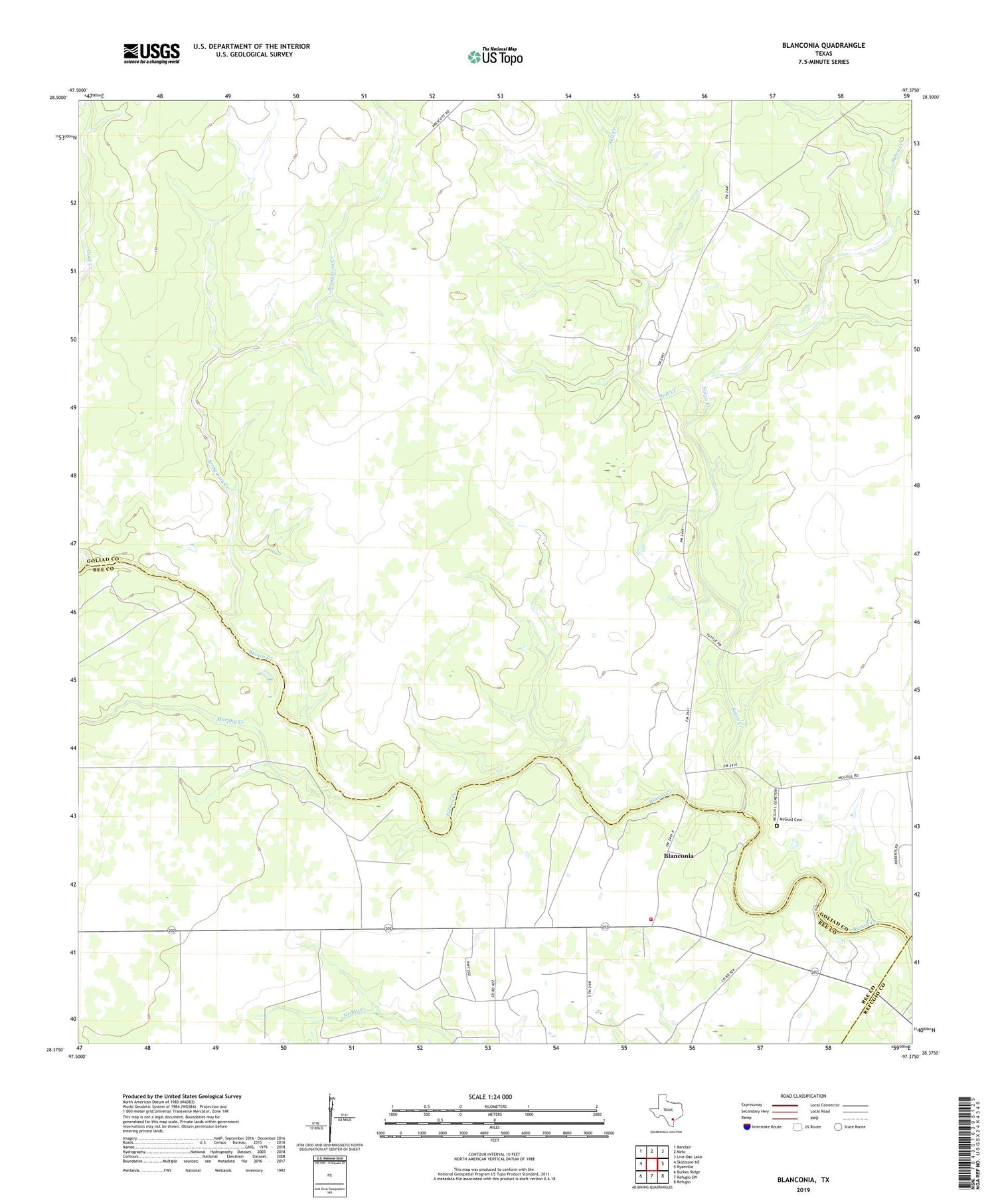
2019 topographic map quadrangle Blanconia in the state of Texas. Scale: 1:24000. Based on the newly updated USGS 7.5' US Topo map series, this map is in the following counties: Goliad, Bee, Refugio. The map contains contour data, water features, and other items you are used to seeing on USGS maps, but also has updated roads and other features. This is the next generation of topographic maps. Printed on high-quality waterproof paper with UV fade-resistant inks.
Quads adjacent to this one:
West: Skidmore NE
Northwest: Berclair
North: Melo
Northeast: Live Oak Lake
East: Ryanville
Southeast: Refugio
South: Refugio SW
Southwest: Burkes Ridge
Contains the following named places: Arroyocita Creek, Blanconia, Blanconia Volunteer Fire Department, McGuill Cemetery, Mucorrera Creek, Murphy Creek, Salt Creek, Sarco Creek