MyTopo
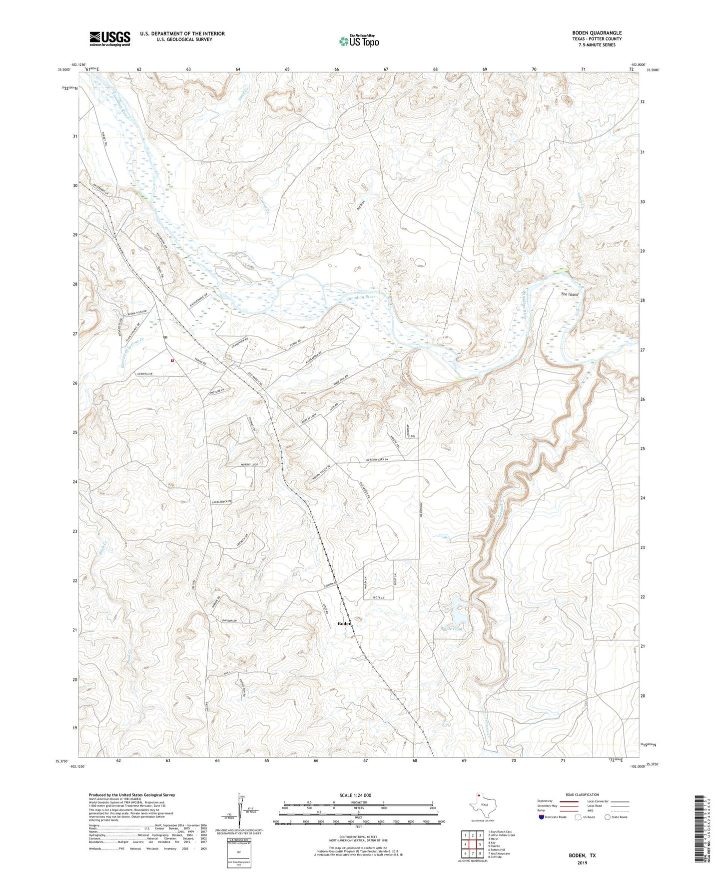
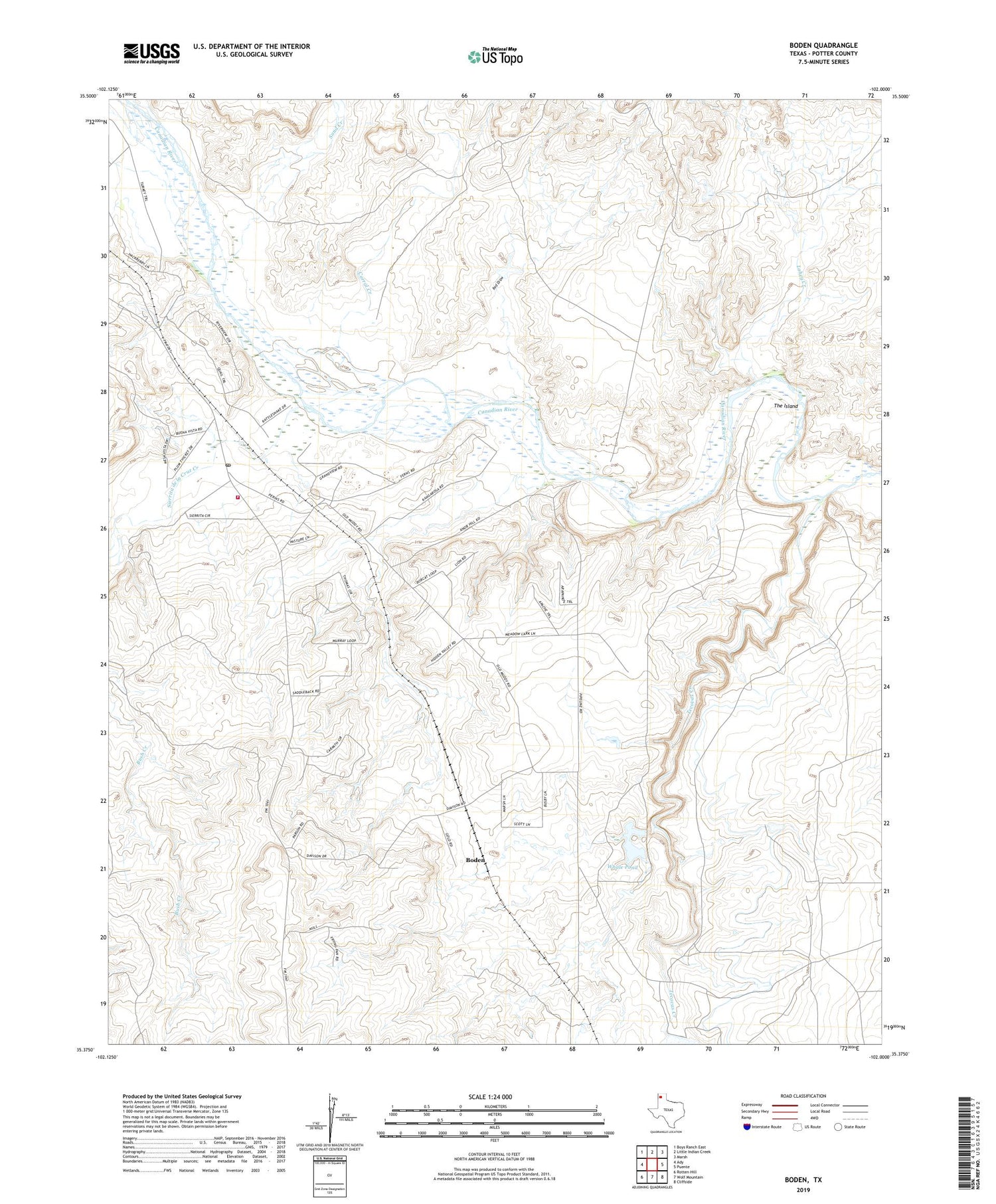
Boden Texas US Topo Map
Couldn't load pickup availability
2019 topographic map quadrangle Boden in the state of Texas. Scale: 1:24000. Based on the newly updated USGS 7.5' US Topo map series, this map is in the following counties: Potter. The map contains contour data, water features, and other items you are used to seeing on USGS maps, but also has updated roads and other features. This is the next generation of topographic maps. Printed on high-quality waterproof paper with UV fade-resistant inks.
Quads adjacent to this one:
West: Ady
Northwest: Boys Ranch East
North: Little Indian Creek
Northeast: Marsh
East: Puente
Southeast: Cliffside
South: Wolf Mountain
Southwest: Rotten Hill
Contains the following named places: Boden, Boys Ranch Post Office, Corral Creek, Creek Windmill, Highway Windmill, Lahey Creek, Little Lahey Creek, Potter County Fire Rescue Station 2, Ranch Marsh Dam, Red Draw, Sand Creek, Sierrita de la Cruz Creek, Southwest Windmill, Tecovas Creek, The Island, Whale Pond, Whale Pond Dam