MyTopo
Puente Texas US Topo Map
Couldn't load pickup availability
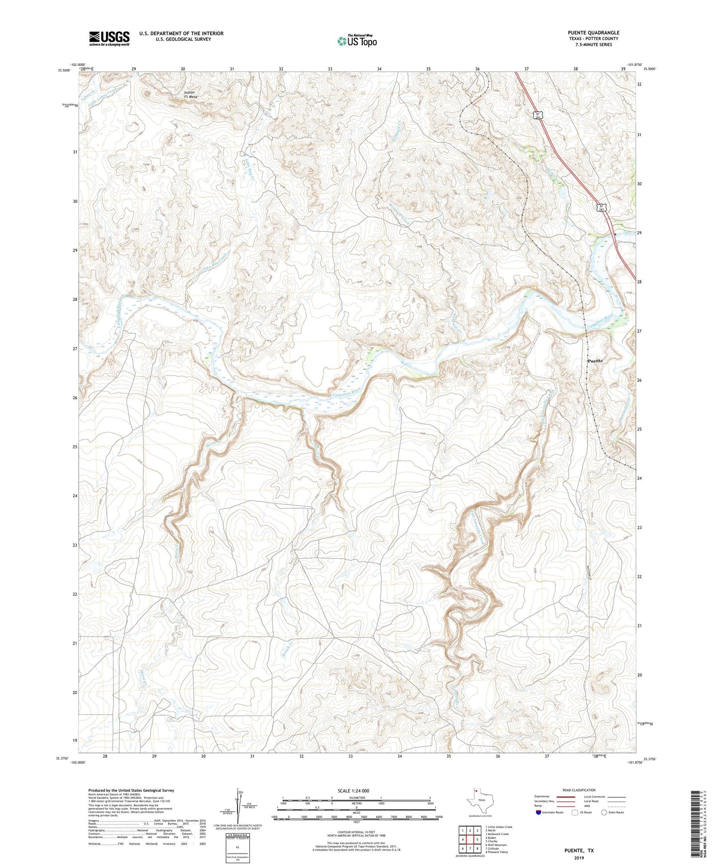
2022 topographic map quadrangle Puente in the state of Texas. Scale: 1:24000. Based on the newly updated USGS 7.5' US Topo map series, this map is in the following counties: Potter. The map contains contour data, water features, and other items you are used to seeing on USGS maps, but also has updated roads and other features. This is the next generation of topographic maps. Printed on high-quality waterproof paper with UV fade-resistant inks.
Quads adjacent to this one:
West: Boden
Northwest: Little Indian Creek
North: Marsh
Northeast: McDowell Creek
East: Chunky
Southeast: Pleasant Valley
South: Cliffside
Southwest: Wolf Mountain
This map covers the same area as the classic USGS quad with code o35101d8.
Contains the following named places: Canadian River Breaks Division, Canadian River Store, Cross Bar Ranch, East Amarillo Creek, Fain Ranch, Fuqua A Bar Ranch, Horse Creek, Indian Fort Mesa, John Ray Creek, Pitcher Creek, Potter County, Puente, Ranch Creek, West Amarillo Creek, Windmill Creek