MyTopo
Brackettville NE Texas US Topo Map
Couldn't load pickup availability
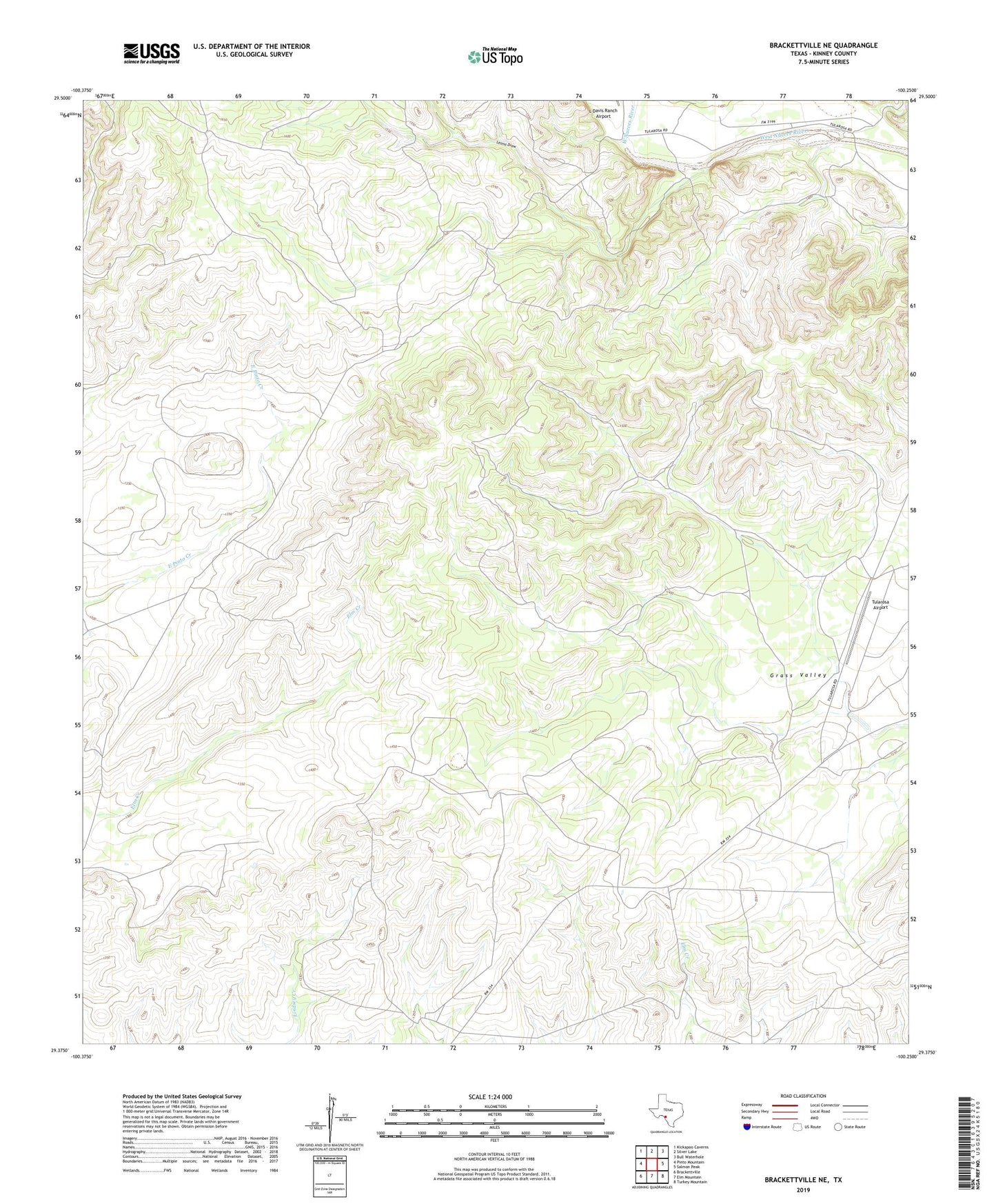
2019 topographic map quadrangle Brackettville NE in the state of Texas. Scale: 1:24000. Based on the newly updated USGS 7.5' US Topo map series, this map is in the following counties: Kinney. The map contains contour data, water features, and other items you are used to seeing on USGS maps, but also has updated roads and other features. This is the next generation of topographic maps. Printed on high-quality waterproof paper with UV fade-resistant inks.
Quads adjacent to this one:
West: Pinto Mountain
Northwest: Kickapoo Caverns
North: Silver Lake
Northeast: Bull Waterhole
East: Salmon Peak
Southeast: Turkey Mountain
South: Elm Mountain
Southwest: Brackettville
Contains the following named places: Leona Draw, Tularosa Airport