MyTopo
Buckle L Ranch Texas US Topo Map
Couldn't load pickup availability
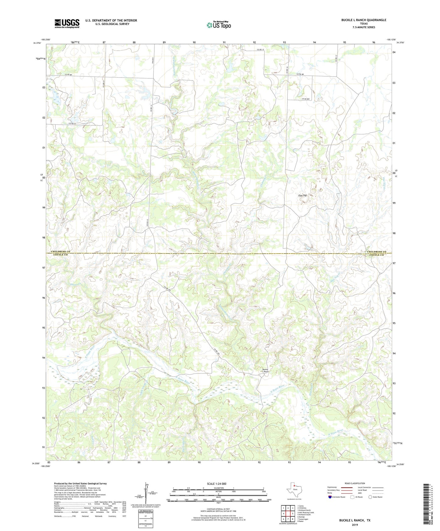
2019 topographic map quadrangle Buckle L Ranch in the state of Texas. Scale: 1:24000. Based on the newly updated USGS 7.5' US Topo map series, this map is in the following counties: Childress, Cottle. The map contains contour data, water features, and other items you are used to seeing on USGS maps, but also has updated roads and other features. This is the next generation of topographic maps. Printed on high-quality waterproof paper with UV fade-resistant inks.
Quads adjacent to this one:
West: Hell Roaring Creek
Northwest: Carey
North: Childress
Northeast: Kirkland North
East: Kirkland South
Southeast: Baker
South: Swearingen
Southwest: Dunlap
Contains the following named places: Big Nasty Creek, Buckle L Ranch, Chimney Creek, Flat Top, Flat Top Creek, Little Nasty Creek, Salt Creek, Scatterbranch Creek, Shores Creek