MyTopo
Buffalo Bluff Texas US Topo Map
Couldn't load pickup availability
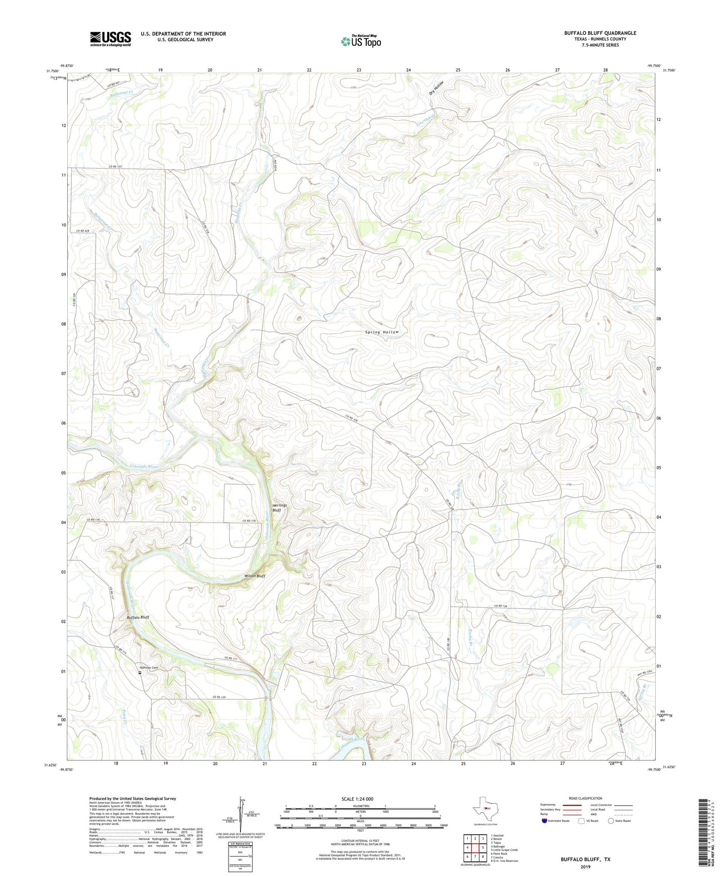
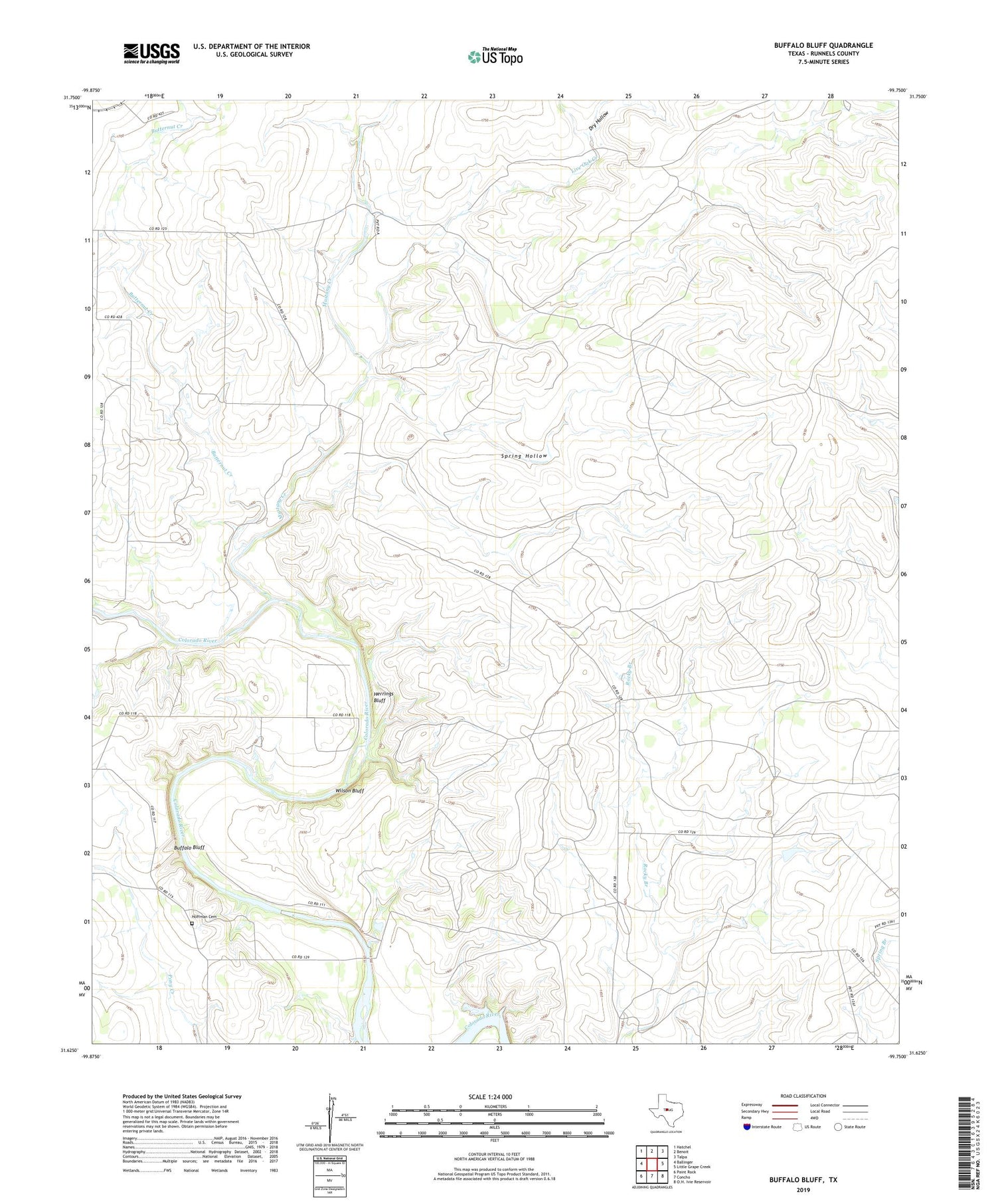
2019 topographic map quadrangle Buffalo Bluff in the state of Texas. Scale: 1:24000. Based on the newly updated USGS 7.5' US Topo map series, this map is in the following counties: Runnels. The map contains contour data, water features, and other items you are used to seeing on USGS maps, but also has updated roads and other features. This is the next generation of topographic maps. Printed on high-quality waterproof paper with UV fade-resistant inks.
Quads adjacent to this one:
West: Ballinger
Northwest: Hatchel
North: Benoit
Northeast: Talpa
East: Little Grape Creek
South: Concho
Southwest: Paint Rock
Contains the following named places: Buffalo Bluff, Butternut Creek, Dry Hollow, Herrings Bluff, Hoffman Cemetery, Live Oak Creek, Mustang Creek, Spring Hollow, Wilson Bluff, Wire Hollow Creek