MyTopo
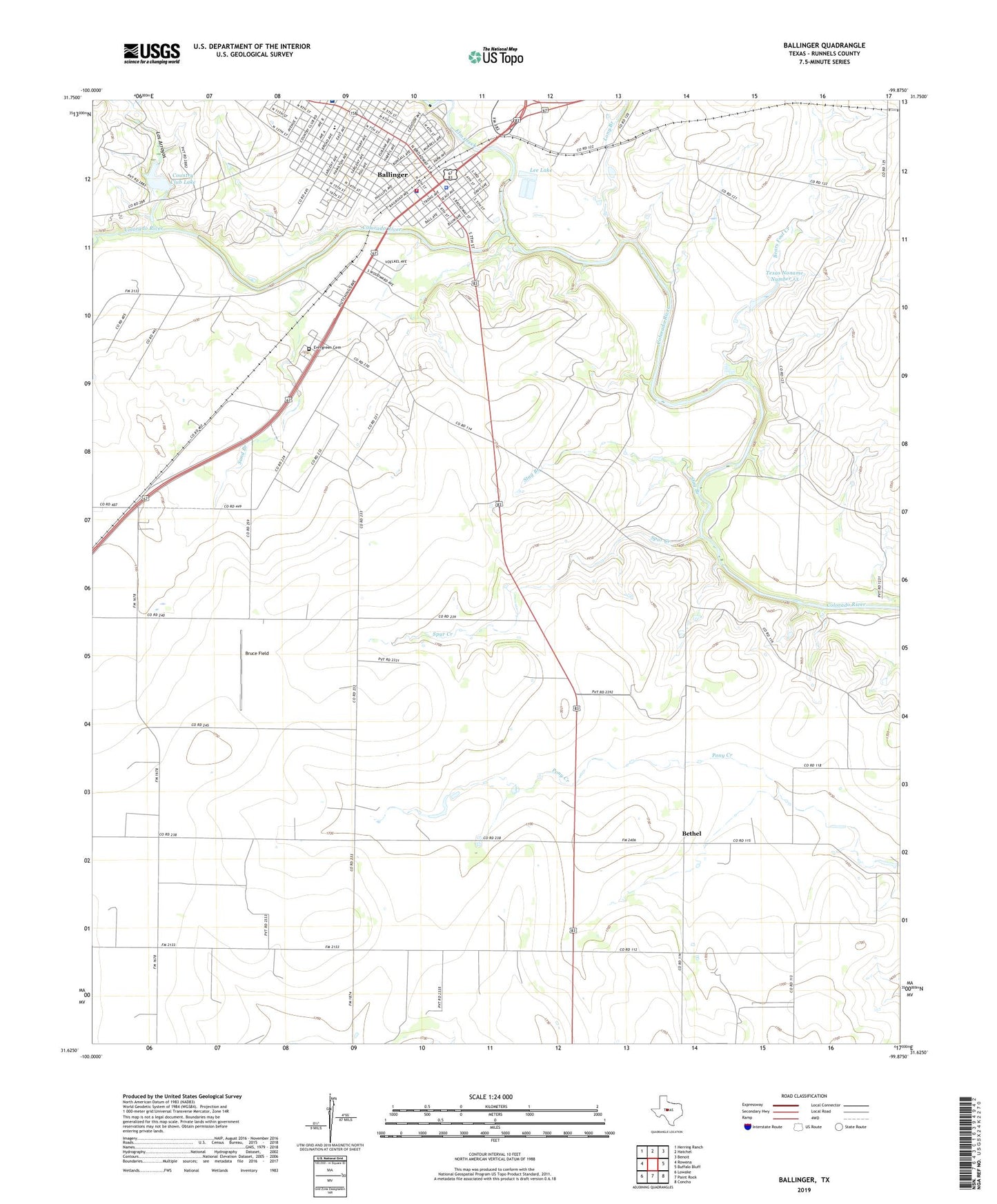
Ballinger Texas US Topo Map
Couldn't load pickup availability
2022 topographic map quadrangle Ballinger in the state of Texas. Scale: 1:24000. Based on the newly updated USGS 7.5' US Topo map series, this map is in the following counties: Runnels. The map contains contour data, water features, and other items you are used to seeing on USGS maps, but also has updated roads and other features. This is the next generation of topographic maps. Printed on high-quality waterproof paper with UV fade-resistant inks.
Quads adjacent to this one:
West: Rowena
Northwest: Herring Ranch
North: Hatchel
Northeast: Benoit
East: Buffalo Bluff
Southeast: Concho
South: Paint Rock
Southwest: Lowake
This map covers the same area as the classic USGS quad with code o31099f8.
Contains the following named places: Ballinger, Ballinger Carnegie Library, Ballinger City Hall, Ballinger Elementary School, Ballinger Fire Department, Ballinger Memorial Hospital, Ballinger Police Department, Ballinger Post Office, Bearcat Stadium, Bears Foot Creek, Bethel, Brady Coleman Runnels Baptist Area Church, Bruce Field, Carver School, Church of Christ, Church of the Nazarene, City of Ballinger, Country Club Lake, Country Club Lake Dam, Edwin and Hattie Day House, Elm Creek, Elm Creek Lake, Elm Creek Lake Dam, Evergreen Cemetery, First Baptist Church, First Church of God, KRUN-AM (Ballinger), KRUN-FM (Ballinger), Latin American Cemetery, Lee Lake, Lee Lake Dam, Long Branch, Los Arroyos, Rowena Division, Runnels County Constable's Office Precinct 1, Runnels County Jail, Runnels County Sheriff's Office, Sand Branch, Spur Creek, Stag Branch, Texas No Name Number 13 Dam, Texas Noname Number 13, Van Pelt House, Walthall Cemetery, ZIP Code: 76821


