MyTopo
Bull Lake Texas US Topo Map
Couldn't load pickup availability
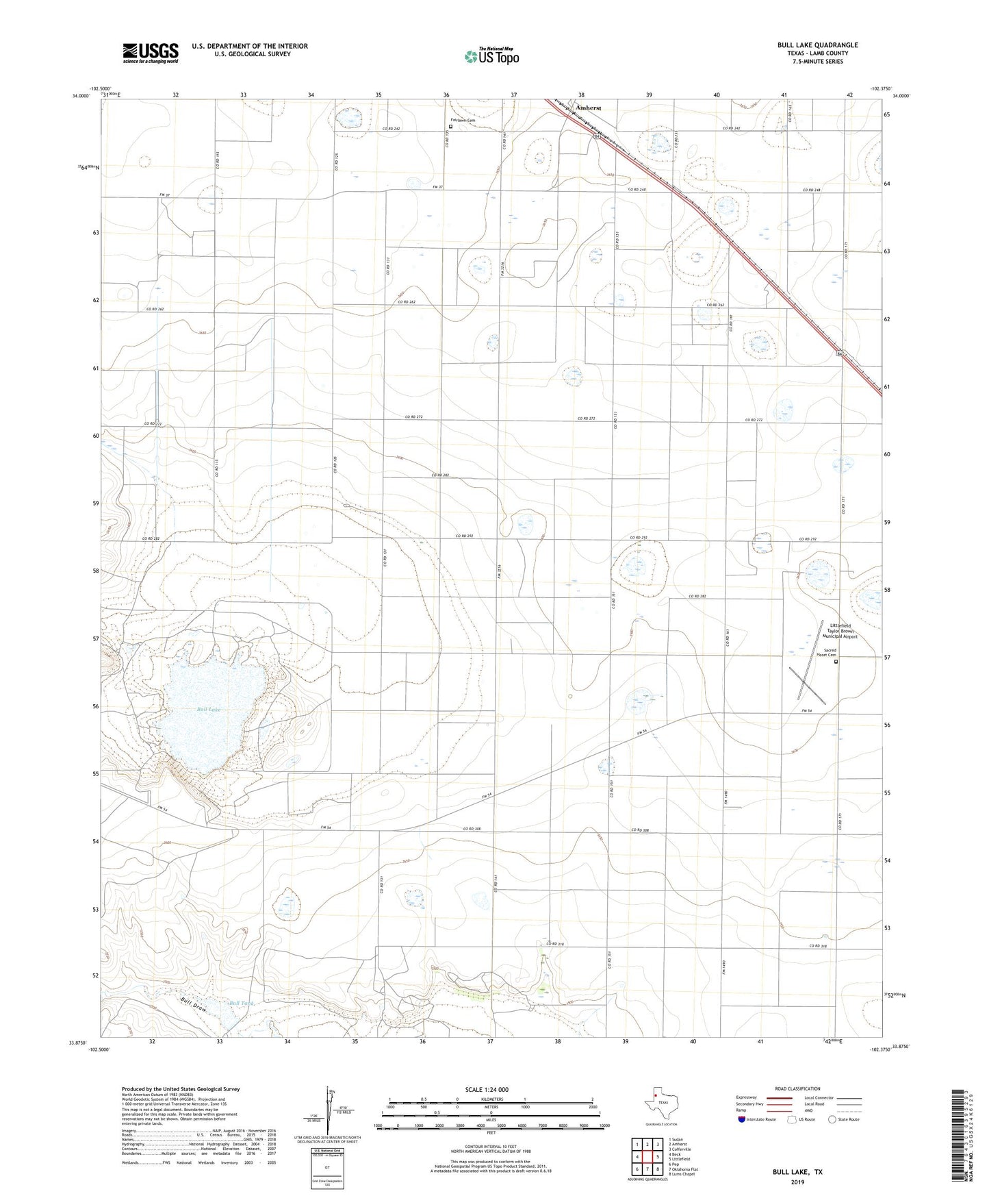
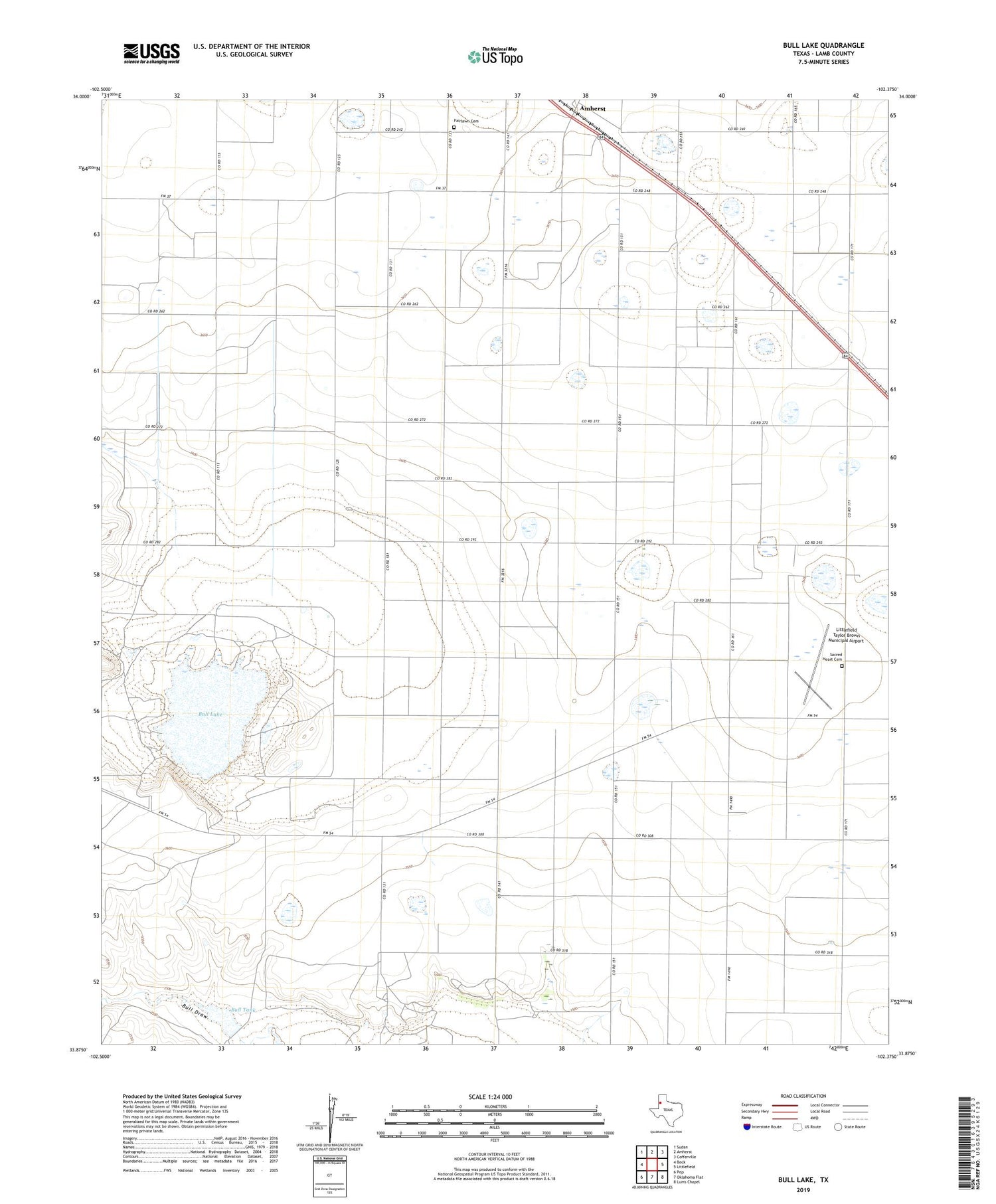
2019 topographic map quadrangle Bull Lake in the state of Texas. Scale: 1:24000. Based on the newly updated USGS 7.5' US Topo map series, this map is in the following counties: Lamb. The map contains contour data, water features, and other items you are used to seeing on USGS maps, but also has updated roads and other features. This is the next generation of topographic maps. Printed on high-quality waterproof paper with UV fade-resistant inks.
Quads adjacent to this one:
West: Beck
Northwest: Sudan
North: Amherst
Northeast: Cofferville
East: Littlefield
Southeast: Lums Chapel
South: Oklahoma Flat
Southwest: Pep
Contains the following named places: Bull Draw Windmill, Bull Lake, Bull Tank, Bull Tank Dam, Fairlawn Cemetery, Littlefield Taylor Brown Municipal Airport, Sacred Heart Cemetery