MyTopo
Littlefield Texas US Topo Map
Couldn't load pickup availability
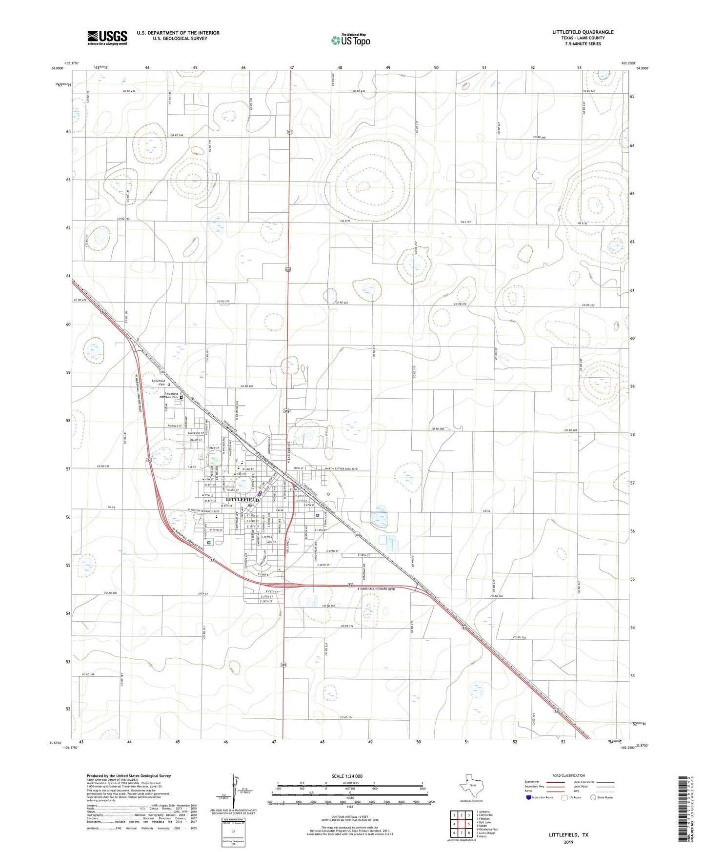
2022 topographic map quadrangle Littlefield in the state of Texas. Scale: 1:24000. Based on the newly updated USGS 7.5' US Topo map series, this map is in the following counties: Lamb. The map contains contour data, water features, and other items you are used to seeing on USGS maps, but also has updated roads and other features. This is the next generation of topographic maps. Printed on high-quality waterproof paper with UV fade-resistant inks.
Quads adjacent to this one:
West: Bull Lake
Northwest: Amherst
North: Cofferville
Northeast: Fieldton
East: Spade
Southeast: Anton
South: Lums Chapel
Southwest: Oklahoma Flat
This map covers the same area as the classic USGS quad with code o33102h3.
Contains the following named places: Church of Christ -- Crescent Park, City of Littlefield, City of Littlefield Emergency Medical Services, Crescent Park, Dunbar Park, Dunber Community Park, Emmanuel Church, First Baptist Church, KXDM-FM (Littlefield), KZZN-AM (Littlefield), Laguna Park, Lamb County Courthouse, Lamb County Jail, Lamb County Sheriff's Office, Lamb Healthcare Center Hospital, Littlefield, Littlefield Cemetery, Littlefield City Hall, Littlefield Country Club, Littlefield Elementary School, Littlefield Fire Department, Littlefield High School, Littlefield Instructional Center, Littlefield Junior High School, Littlefield Memorial Park, Littlefield Police Department, Littlefield Post Office, Littlefield Primary School, Nazarene Church, New Covenant Assembly of God Church, New Jerusalem Baptist Church, New Life Fellowship Church, Parkview Baptist Church, ZIP Code: 79339