MyTopo
Sudan Texas US Topo Map
Couldn't load pickup availability
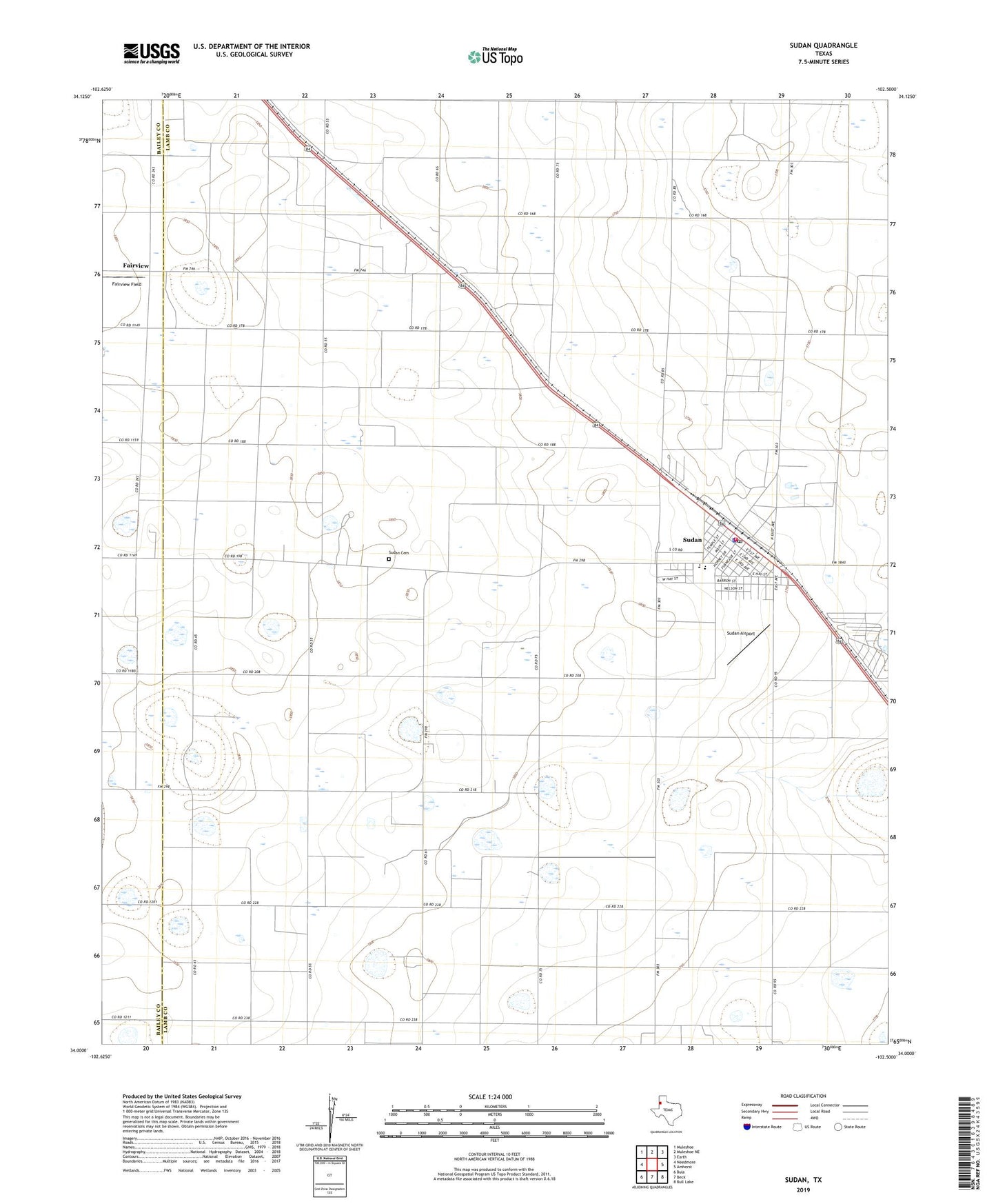
2022 topographic map quadrangle Sudan in the state of Texas. Scale: 1:24000. Based on the newly updated USGS 7.5' US Topo map series, this map is in the following counties: Lamb, Bailey. The map contains contour data, water features, and other items you are used to seeing on USGS maps, but also has updated roads and other features. This is the next generation of topographic maps. Printed on high-quality waterproof paper with UV fade-resistant inks.
Quads adjacent to this one:
West: Needmore
Northwest: Muleshoe
North: Muleshoe NE
Northeast: Earth
East: Amherst
Southeast: Bull Lake
South: Beck
Southwest: Bula
This map covers the same area as the classic USGS quad with code o34102a5.
Contains the following named places: City of Sudan, Fairview, Fairview Field, Mount Olive Church, Sudan, Sudan Airport, Sudan Cemetery, Sudan City Hall, Sudan Elementary School, Sudan High School, Sudan Police Department, Sudan Post Office, Sudan Volunteer Fire Department