MyTopo
Butterbowl Texas US Topo Map
Couldn't load pickup availability
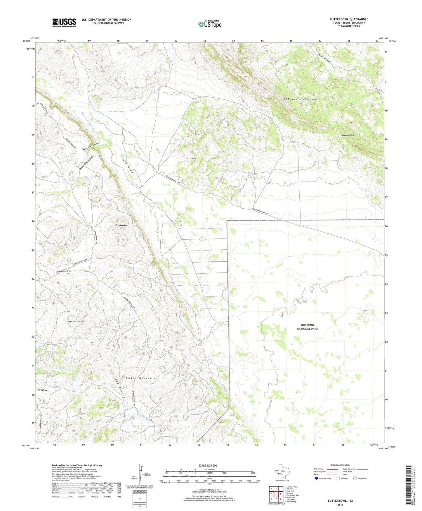
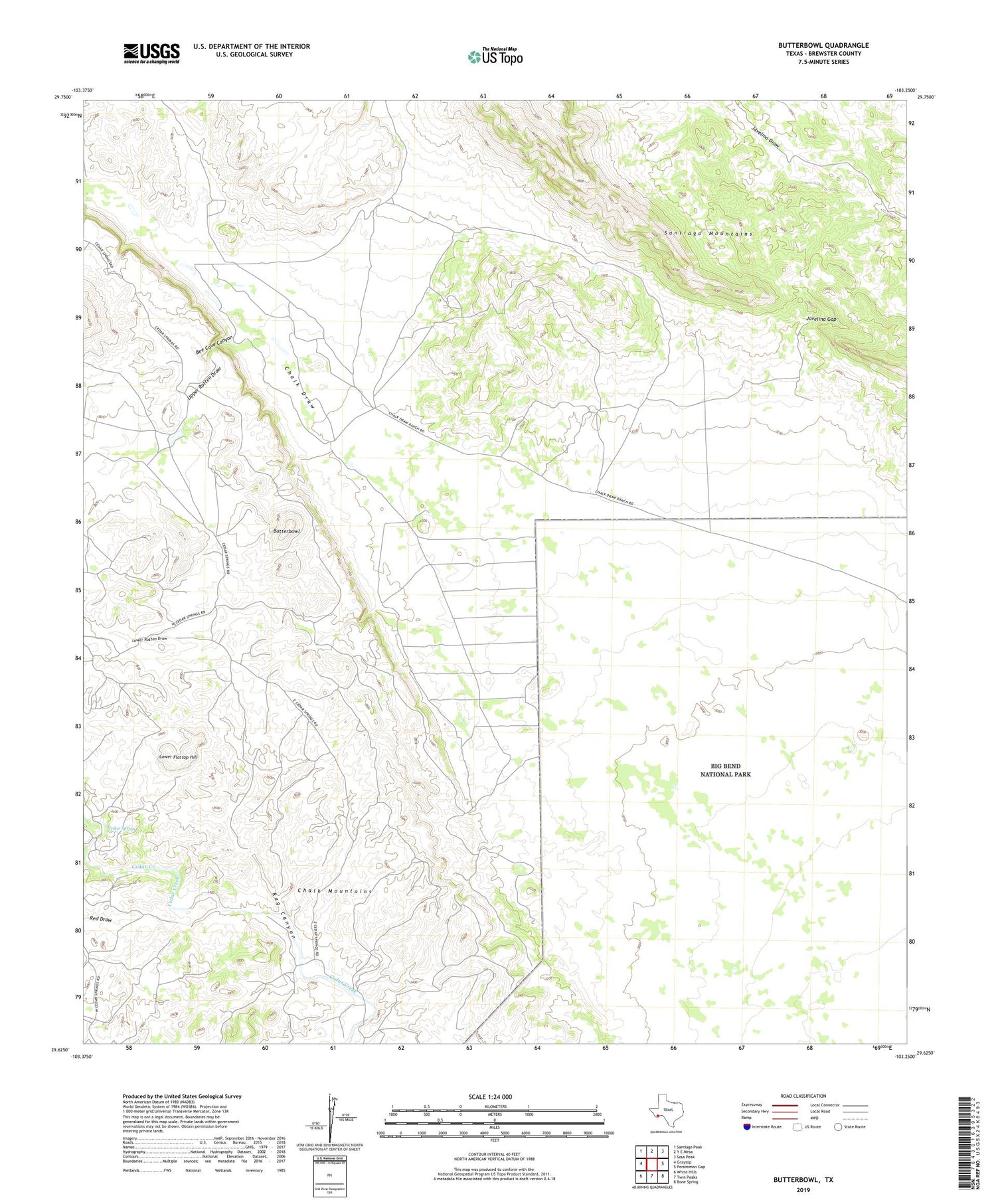
2019 topographic map quadrangle Butterbowl in the state of Texas. Scale: 1:24000. Based on the newly updated USGS 7.5' US Topo map series, this map is in the following counties: Brewster. The map contains contour data, water features, and other items you are used to seeing on USGS maps, but also has updated roads and other features. This is the next generation of topographic maps. Printed on high-quality waterproof paper with UV fade-resistant inks.
Quads adjacent to this one:
West: Graytop
Northwest: Santiago Peak
North: Y E Mesa
Northeast: Sosa Peak
East: Persimmon Gap
Southeast: Bone Spring
South: Twin Peaks
Southwest: White Hills
Contains the following named places: Bee Cave Canyon, Black Hills, Butterbowl, Cedar Spring, Javelina Gap, Lease-Rixon Trail, Lower Flattop Hill, Lower Rotten Draw, Red Draw, Rixon Ranch, Three Wells, Upper Rotten Draw