MyTopo
Graytop Texas US Topo Map
Couldn't load pickup availability
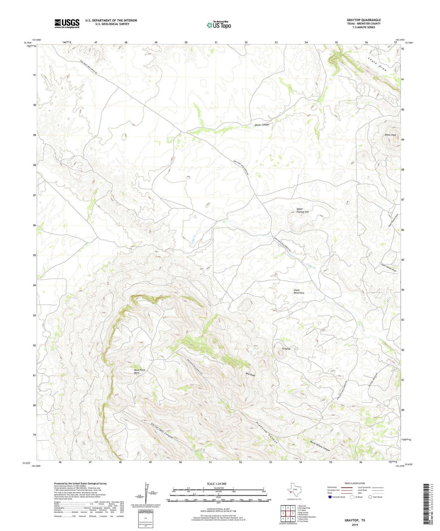
2022 topographic map quadrangle Graytop in the state of Texas. Scale: 1:24000. Based on the newly updated USGS 7.5' US Topo map series, this map is in the following counties: Brewster. The map contains contour data, water features, and other items you are used to seeing on USGS maps, but also has updated roads and other features. This is the next generation of topographic maps. Printed on high-quality waterproof paper with UV fade-resistant inks.
Quads adjacent to this one:
West: Dog Canyon
Northwest: Buck Hill
North: Santiago Peak
Northeast: Y E Mesa
East: Butterbowl
Southeast: Twin Peaks
South: White Hills
Southwest: Packsaddle Mountain
This map covers the same area as the classic USGS quad with code o29103f4.
Contains the following named places: Alpine Division, Black Peak, Chalk Mountains, Graytop, Johnson Ranch, Lease Ranch, Mine Point Mesa, Shular Canyon, Stormy Lease Trail, Upper Flattop Hill