MyTopo
Cathedral Mountain Texas US Topo Map
Couldn't load pickup availability
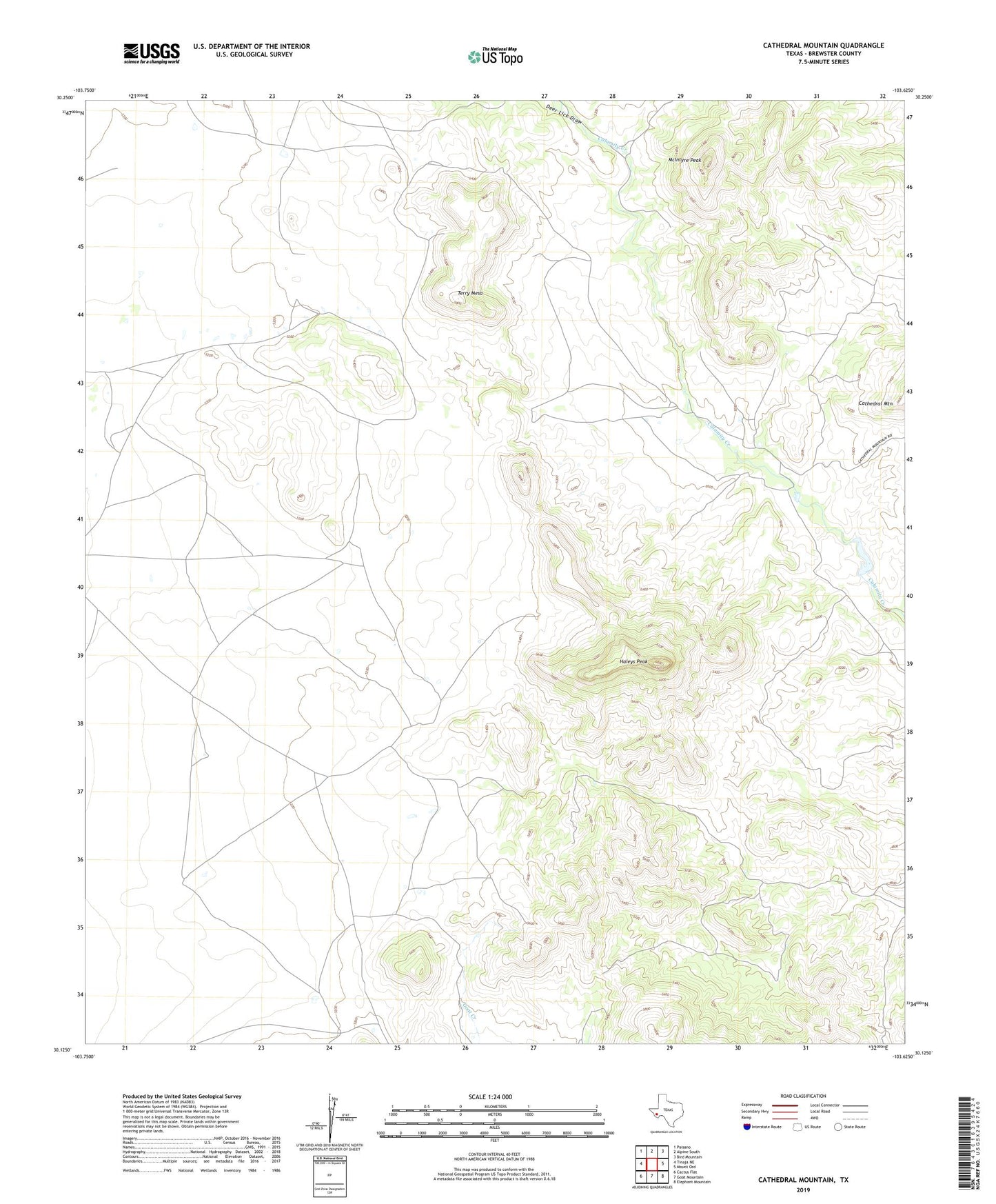
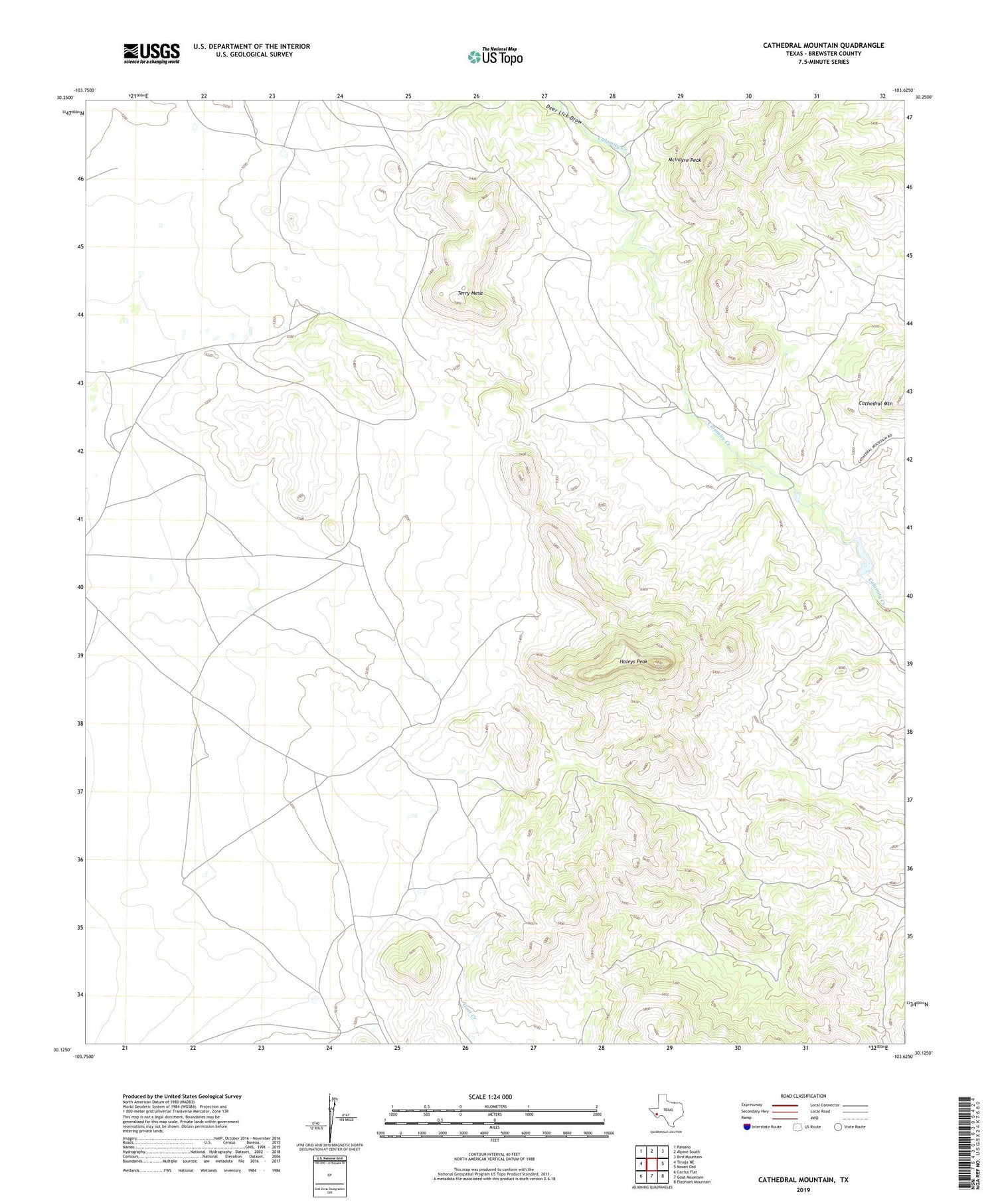
2019 topographic map quadrangle Cathedral Mountain in the state of Texas. Scale: 1:24000. Based on the newly updated USGS 7.5' US Topo map series, this map is in the following counties: Brewster. The map contains contour data, water features, and other items you are used to seeing on USGS maps, but also has updated roads and other features. This is the next generation of topographic maps. Printed on high-quality waterproof paper with UV fade-resistant inks.
Quads adjacent to this one:
West: Tinaja NE
Northwest: Paisano
North: Alpine South
Northeast: Bird Mountain
East: Mount Ord
Southeast: Elephant Mountain
South: Goat Mountain
Southwest: Cactus Flat
Contains the following named places: Deer Lick Draw, Haley Ranch, Haleys Peak, Hill Creek, Marble Mine, Marble Mountain, McIntyre Peak, Terry Mesa