MyTopo
Alpine South Texas US Topo Map
Couldn't load pickup availability
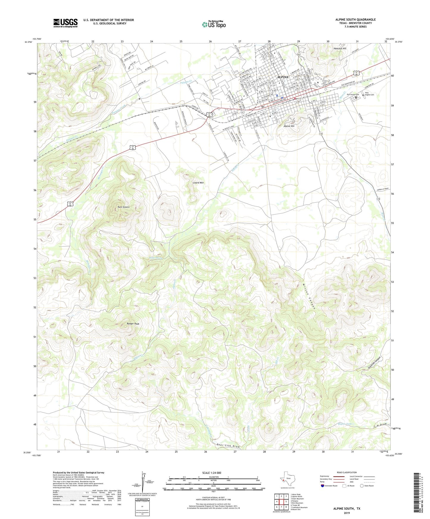
2022 topographic map quadrangle Alpine South in the state of Texas. Scale: 1:24000. Based on the newly updated USGS 7.5' US Topo map series, this map is in the following counties: Brewster. The map contains contour data, water features, and other items you are used to seeing on USGS maps, but also has updated roads and other features. This is the next generation of topographic maps. Printed on high-quality waterproof paper with UV fade-resistant inks.
Quads adjacent to this one:
West: Paisano
Northwest: Mitre Peak
North: Alpine North
Northeast: Elam Mountain
East: Bird Mountain
Southeast: Mount Ord
South: Cathedral Mountain
Southwest: Tinaja NE
This map covers the same area as the classic USGS quad with code o30103c6.
Contains the following named places: Alpine, Alpine City Hall, Alpine Elementary School, Alpine High School, Alpine Hill, Alpine Middle School, Alpine Police Department, Alpine Post Office, Alpine Seventh Day Adventist Church, Alpine Volunteer Fire Department, Baines Park, Baylor Tank, Bear Canyon, Brewster County Jail, Brewster County Sheriff's Office, Brewster Memorial Hospital, Centennial High School, Central School, Church of Christ, City of Alpine, Elm Grove Cemetery, First Baptist Church, Friendship Baptist Church, Graves Pierce Complex, Hancock Hill, Holy Angels Cemetery, Jackson Field, KALP-FM (Alpine), Kokernot Baseball Park, Kokernot Municipal Park, Kokernot Park, Lizard Mountain, McIntyre Creek, Mount Sinai United Methodist Church, New Town Park, Nolte-Rooney House, Our Lady of Peace Catholic Church, Pete Gallego Senior Center, Pete P Gallego Center, Ranger Peak, Ranger Spring, Redeemer Lutheran Church, Saint James Episcopal Church, Shipman Park, Sul Ross State University, Twin Sisters, United States Border Patrol Station, West Texas Ambulance Service, Wilson Canyon