MyTopo
Mount Ord Texas US Topo Map
Couldn't load pickup availability
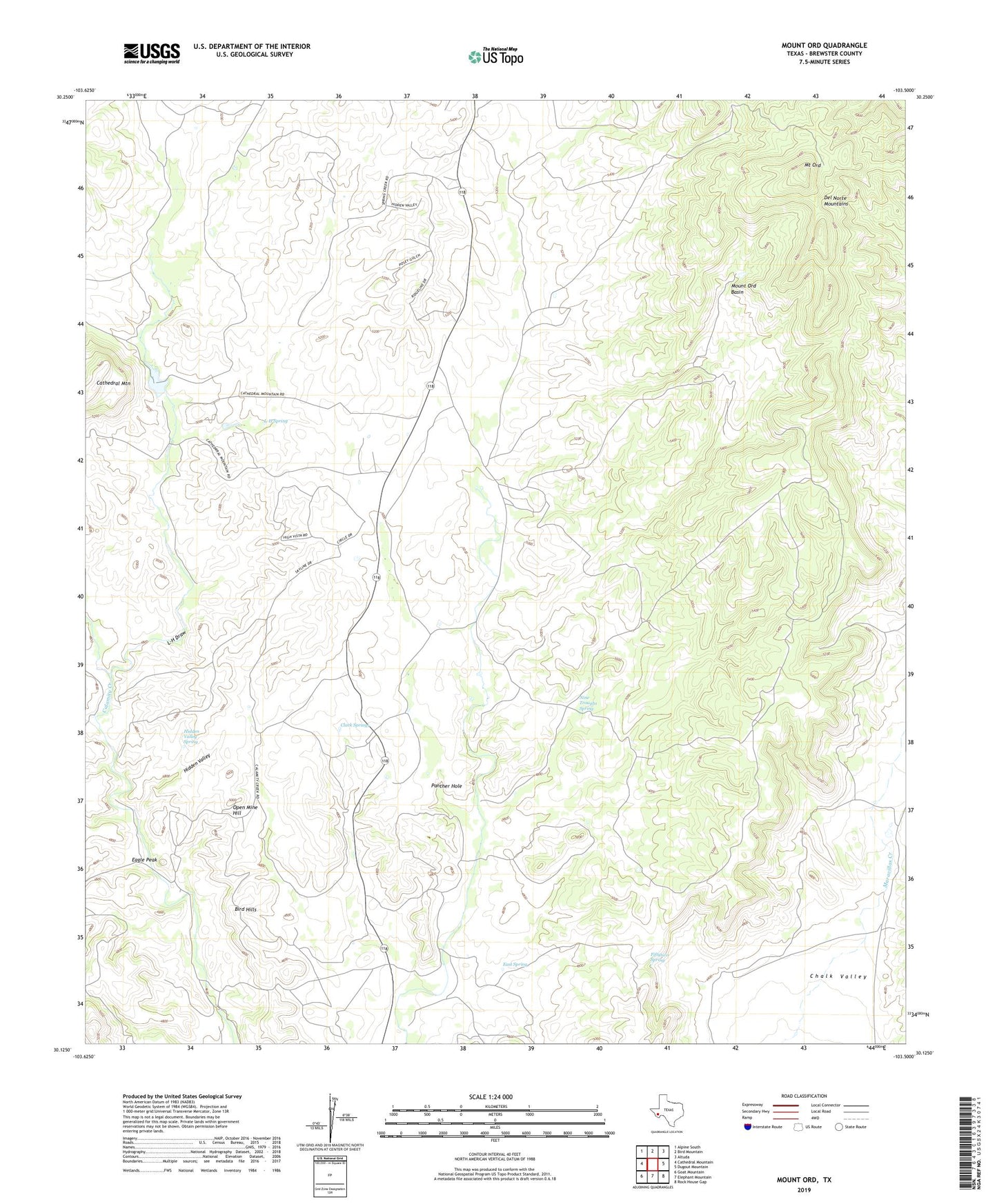
2022 topographic map quadrangle Mount Ord in the state of Texas. Scale: 1:24000. Based on the newly updated USGS 7.5' US Topo map series, this map is in the following counties: Brewster. The map contains contour data, water features, and other items you are used to seeing on USGS maps, but also has updated roads and other features. This is the next generation of topographic maps. Printed on high-quality waterproof paper with UV fade-resistant inks.
Quads adjacent to this one:
West: Cathedral Mountain
Northwest: Alpine South
North: Bird Mountain
Northeast: Altuda
East: Dugout Mountain
Southeast: Rock House Gap
South: Elephant Mountain
Southwest: Goat Mountain
This map covers the same area as the classic USGS quad with code o30103b5.
Contains the following named places: Bird Creek, Cathedral Mountain, Clark Springs, Eagle Peak, East Spring, Fiftytwo Spring, Hidden Valley, Hidden Valley Spring, L-H Draw, L-H Spring, Mount Ord, Mount Ord Basin, Nine Troughs Spring, Open Mine Hill, Panther Hole, United States Border Patrol Checkpoint