MyTopo
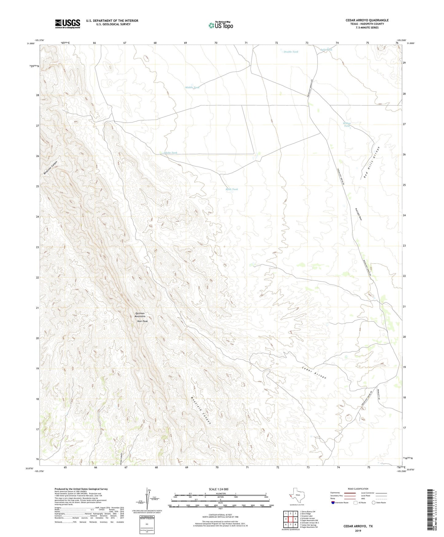
Cedar Arroyo Texas US Topo Map
Couldn't load pickup availability
2019 topographic map quadrangle Cedar Arroyo in the state of Texas. Scale: 1:24000. Based on the newly updated USGS 7.5' US Topo map series, this map is in the following counties: Hudspeth. The map contains contour data, water features, and other items you are used to seeing on USGS maps, but also has updated roads and other features. This is the next generation of topographic maps. Printed on high-quality waterproof paper with UV fade-resistant inks.
Quads adjacent to this one:
West: Schroder Arroyo
Northwest: Sierra Blanca SW
North: Devil Ridge
Northeast: Grayton Lake
East: Eagle Mountains NW
Southeast: Eagle Mountains SW
South: Indian Hot Springs
Southwest: Schroder Arroyo OE S
Contains the following named places: Adobe Tank, Babb Tank, Bramblett Ranch, Cedar Windmill, Cummings Ranch, Deer Peak, Double Tank, Middle Tank, Red Hills Arroyo, Red Light Windmill, Split Tank, Willow Tank