MyTopo
Devil Ridge Texas US Topo Map
Couldn't load pickup availability
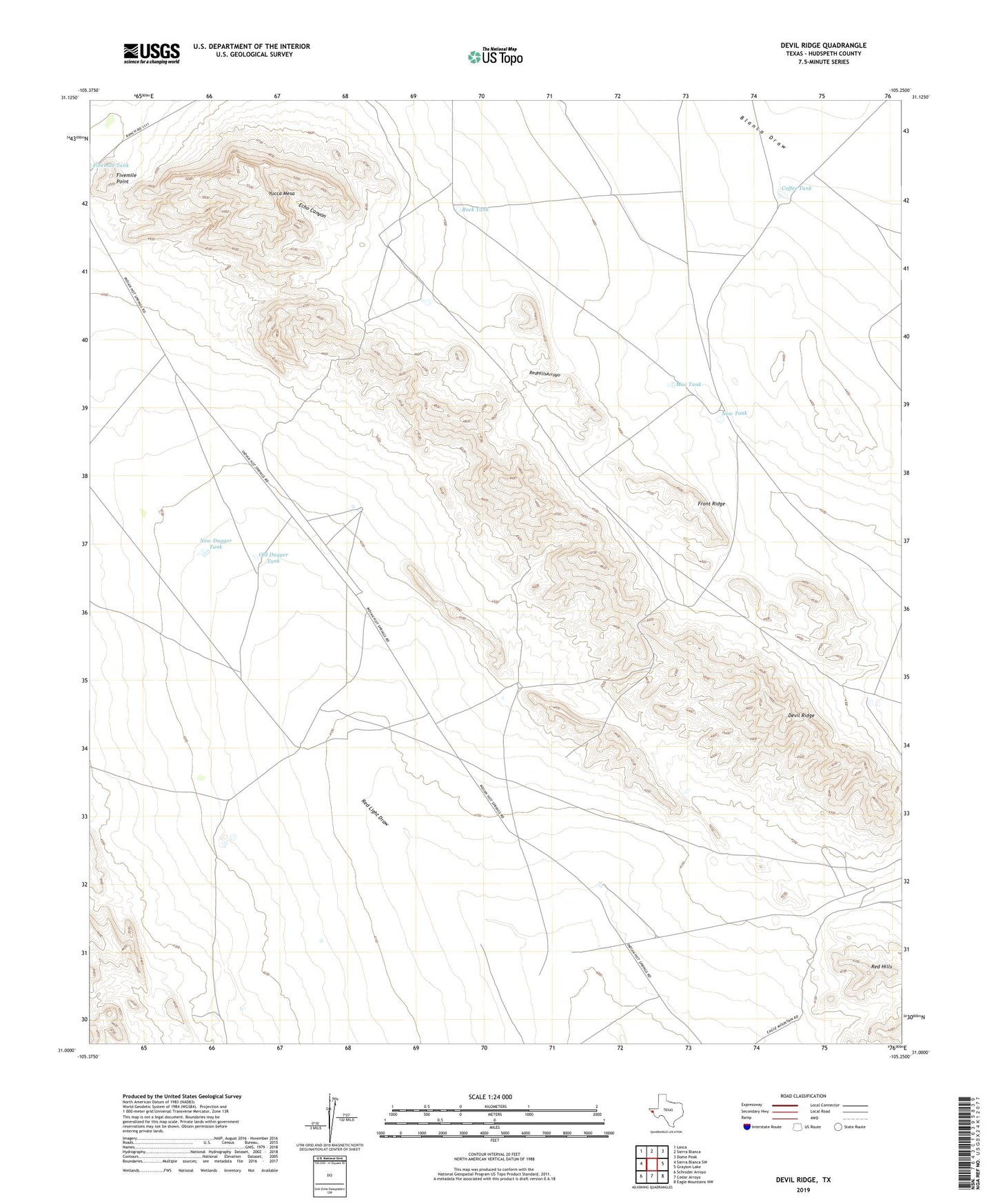
2022 topographic map quadrangle Devil Ridge in the state of Texas. Scale: 1:24000. Based on the newly updated USGS 7.5' US Topo map series, this map is in the following counties: Hudspeth. The map contains contour data, water features, and other items you are used to seeing on USGS maps, but also has updated roads and other features. This is the next generation of topographic maps. Printed on high-quality waterproof paper with UV fade-resistant inks.
Quads adjacent to this one:
West: Sierra Blanca SW
Northwest: Lasca
North: Sierra Blanca
Northeast: Dome Peak
East: Grayton Lake
Southeast: Eagle Mountains NW
South: Cedar Arroyo
Southwest: Schroder Arroyo
This map covers the same area as the classic USGS quad with code o31105a3.
Contains the following named places: Coffee Tank, Cummins Windmill, Devil Ridge, East Windmill, Echo Canyon, Fivemile Point, Front Ridge, Hayter Well, Mac Tank, New Dagger Tank, New Tank, Old Dagger Tank, Old Patterson Place, Red Hills, Rock Tank, Yucca Mesa