MyTopo
Diablo Canyon West Texas US Topo Map
Couldn't load pickup availability
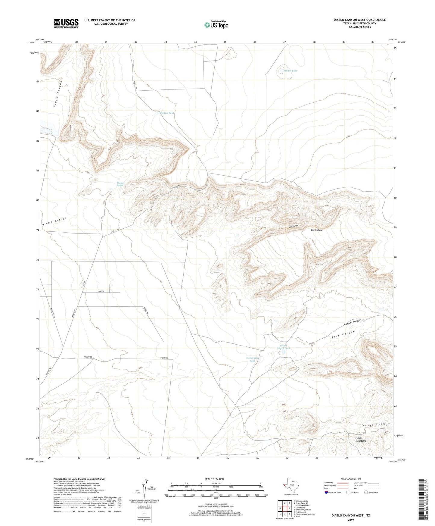
2019 topographic map quadrangle Diablo Canyon West in the state of Texas. Scale: 1:24000. Based on the newly updated USGS 7.5' US Topo map series, this map is in the following counties: Hudspeth. The map contains contour data, water features, and other items you are used to seeing on USGS maps, but also has updated roads and other features. This is the next generation of topographic maps. Printed on high-quality waterproof paper with UV fade-resistant inks.
Quads adjacent to this one:
West: Cavett Lake
Northwest: Whiterock Hills
North: Tepee Butte SW
Northeast: Granite Mountain
East: Diablo Canyon East
Southeast: Small
South: Campo Grande Mountain
Southwest: Fort Hancock
Contains the following named places: Camp Rice Tank, Curtiss Tank, Diablo Canyon, Flat Canyon, Midway Tank, Milner Lake, Pear Canyon, Prince Albert Tank, Smith Mesa, Thaxton Spring, Wilkey Ranch