MyTopo
Diablo Canyon East Texas US Topo Map
Couldn't load pickup availability
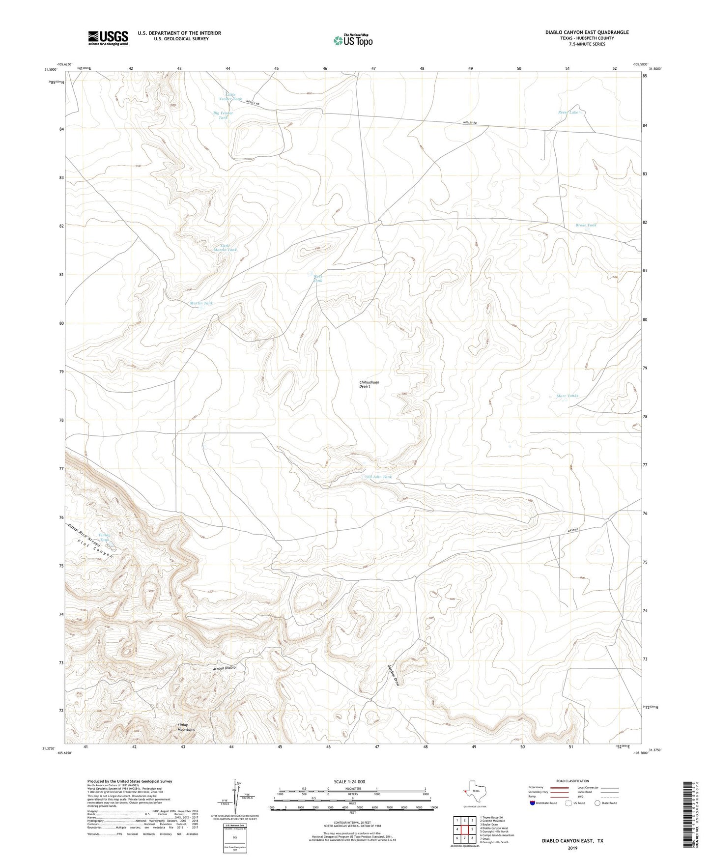
2022 topographic map quadrangle Diablo Canyon East in the state of Texas. Scale: 1:24000. Based on the newly updated USGS 7.5' US Topo map series, this map is in the following counties: Hudspeth. The map contains contour data, water features, and other items you are used to seeing on USGS maps, but also has updated roads and other features. This is the next generation of topographic maps. Printed on high-quality waterproof paper with UV fade-resistant inks.
Quads adjacent to this one:
West: Diablo Canyon West
Northwest: Tepee Butte SW
North: Granite Mountain
Northeast: Baylor Draw
East: Gunsight Hills North
Southeast: Gunsight Hills South
South: Small
Southwest: Campo Grande Mountain
This map covers the same area as the classic USGS quad with code o31105d5.
Contains the following named places: Big Yeader Tank, Broke Tank, Chihuahuan Desert, Finlay Tank, Gunsight Ranch, Lake Well, Little Martin Tank, Little Yeader Tank, Marr Tanks, Marr Windmill, Martin Tank, Old John Tank, Reese Lake, West Tank