MyTopo
Dunbar Draw SW Texas US Topo Map
Couldn't load pickup availability
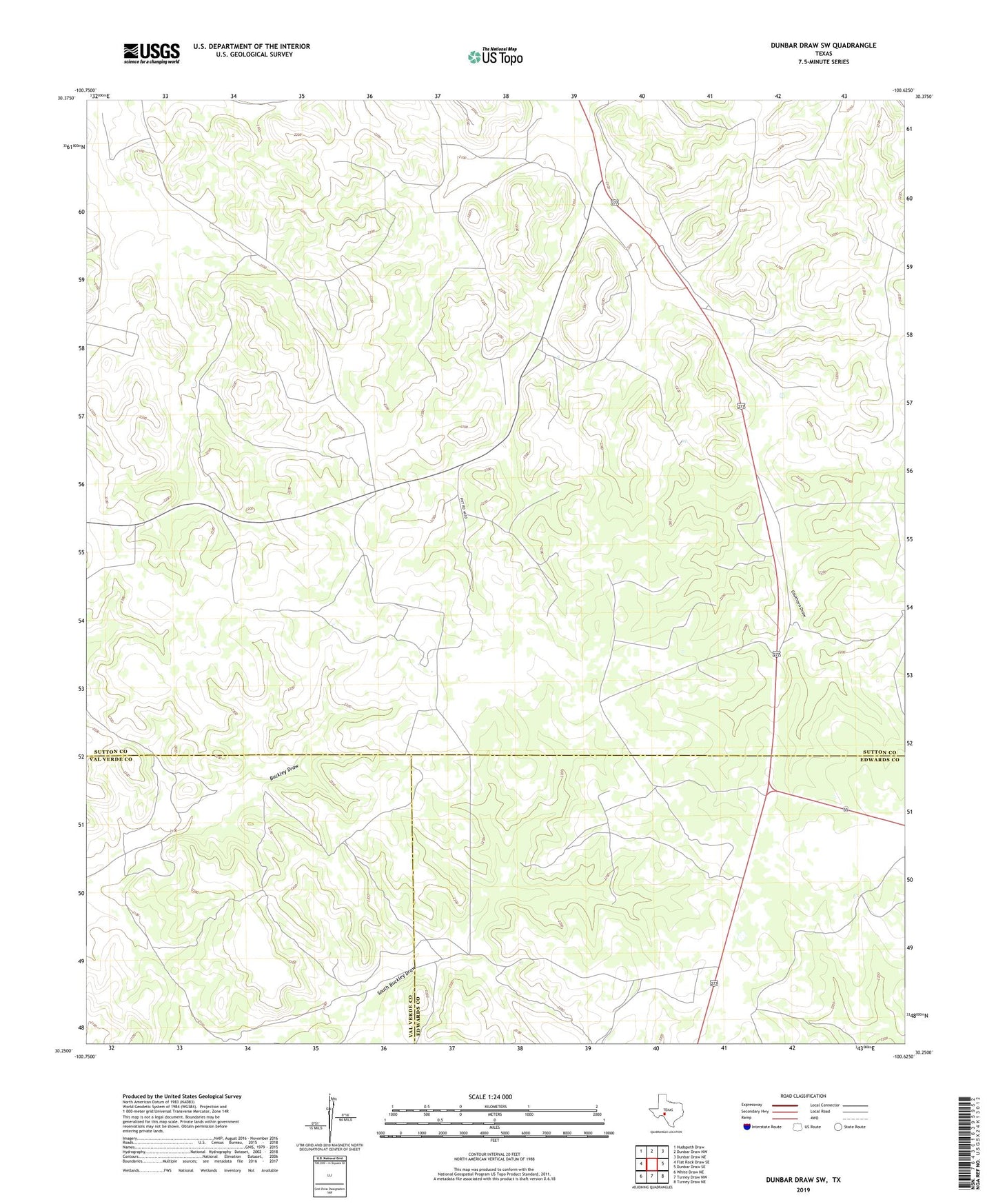
2019 topographic map quadrangle Dunbar Draw SW in the state of Texas. Scale: 1:24000. Based on the newly updated USGS 7.5' US Topo map series, this map is in the following counties: Sutton, Edwards, Val Verde. The map contains contour data, water features, and other items you are used to seeing on USGS maps, but also has updated roads and other features. This is the next generation of topographic maps. Printed on high-quality waterproof paper with UV fade-resistant inks.
Quads adjacent to this one:
West: Flat Rock Draw SE
Northwest: Hudspeth Draw
North: Dunbar Draw NW
Northeast: Dunbar Draw NE
East: Dunbar Draw SE
Southeast: Turney Draw NE
South: Turney Draw NW
Southwest: White Draw NE
Contains the following named places: Buckley Tank, Chester Well, Dan Cauthorn Ranch, J A Cauthorn Ranch, Mack Cauthorn Ranch, Sam Allison Ranch