
MyTopo
East Mesa Texas US Topo Map
Couldn't load pickup availability
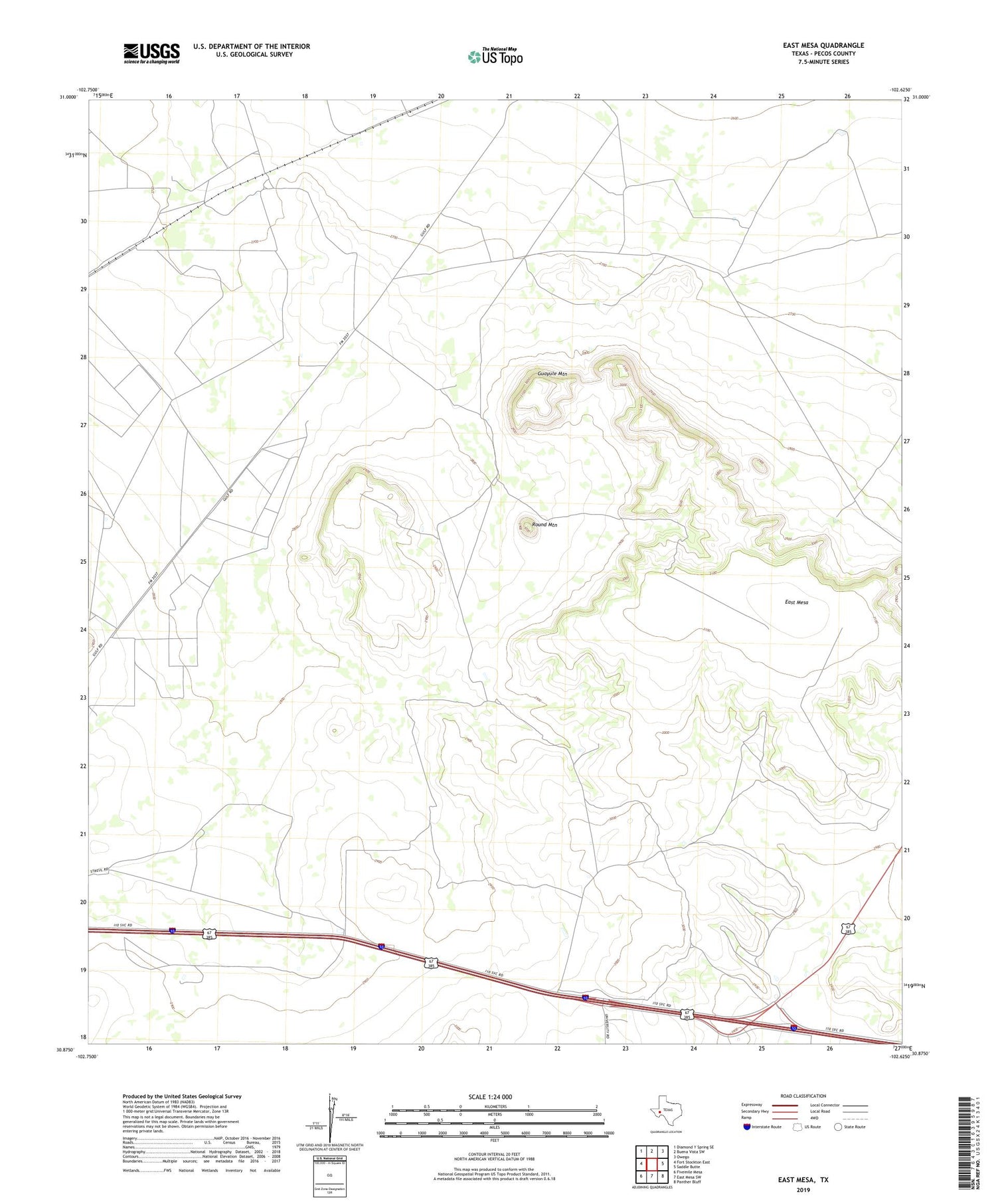
2019 topographic map quadrangle East Mesa in the state of Texas. Scale: 1:24000. Based on the newly updated USGS 7.5' US Topo map series, this map is in the following counties: Pecos. The map contains contour data, water features, and other items you are used to seeing on USGS maps, but also has updated roads and other features. This is the next generation of topographic maps. Printed on high-quality waterproof paper with UV fade-resistant inks.
Quads adjacent to this one:
West: Fort Stockton East
Northwest: Diamond Y Spring SE
North: Buena Vista SW
Northeast: Owego
East: Saddle Butte
Southeast: Panther Bluff
South: East Mesa SW
Southwest: Fivemile Mesa
Contains the following named places: Big Tank Windmill, Canyon Windmill, East Mesa, Fourteenmile Park, Guayule Mountain, McKenzie Ranch, North High Windmill, Old Headquarters Windmill, Partnership Windmill, Round Mountain, West Pasture Windmill


