MyTopo
Ellinger Texas US Topo Map
Couldn't load pickup availability
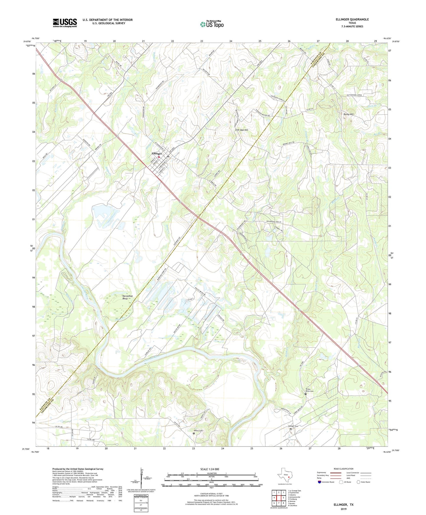
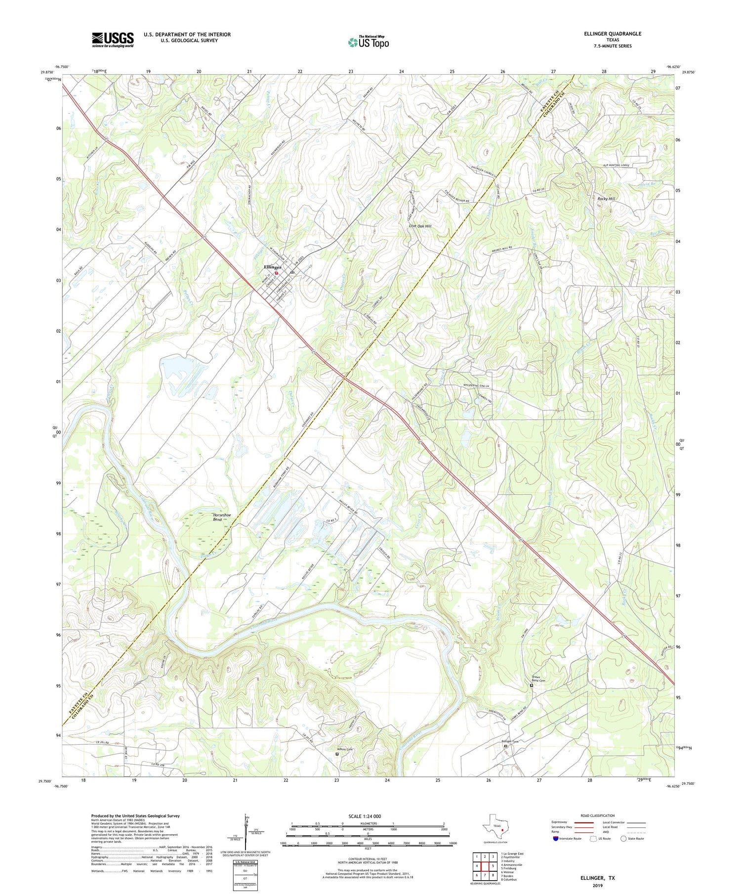
2019 topographic map quadrangle Ellinger in the state of Texas. Scale: 1:24000. Based on the newly updated USGS 7.5' US Topo map series, this map is in the following counties: Colorado, Fayette. The map contains contour data, water features, and other items you are used to seeing on USGS maps, but also has updated roads and other features. This is the next generation of topographic maps. Printed on high-quality waterproof paper with UV fade-resistant inks.
Quads adjacent to this one:
West: Ammannsville
Northwest: La Grange East
North: Fayetteville
Northeast: Industry
East: Frelsburg
Southeast: Columbus
South: Borden
Southwest: Weimar
Contains the following named places: Adkins Cemetery, Audelia Road Branch Library, Boetcher Cemetery, Brush Creek, Brushy Creek, Brushy School, Casa View Branch Library, City of Ellinger, Crier Creek, Dutys Creek, Ellinger, Ellinger Post Office, Ellinger Volunteer Fire Department, Fllinger Branch, Forest Green Branch Library, Gilliam Memorial Public Library, Horseshoe Bend, Live Oak Church, Live Oak Hill, Pettys Creek, Rocky Hill, Rocky Hill School, Schindler Lake, Schindler Lake Dam, Shaws Bend Cemetery, Snyder Branch, ZIP Code: 78938