MyTopo
Fourmile Hill Texas US Topo Map
Couldn't load pickup availability
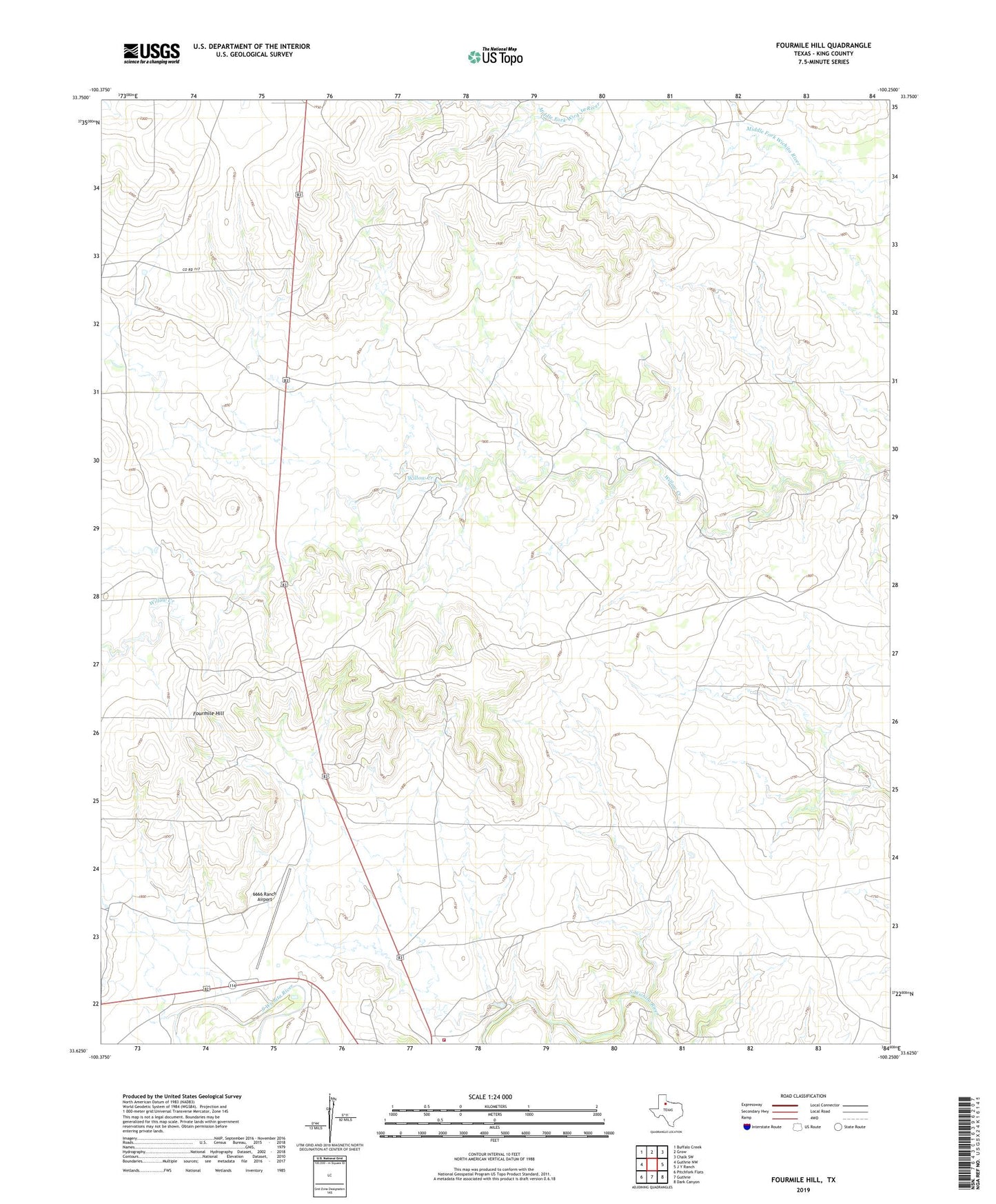
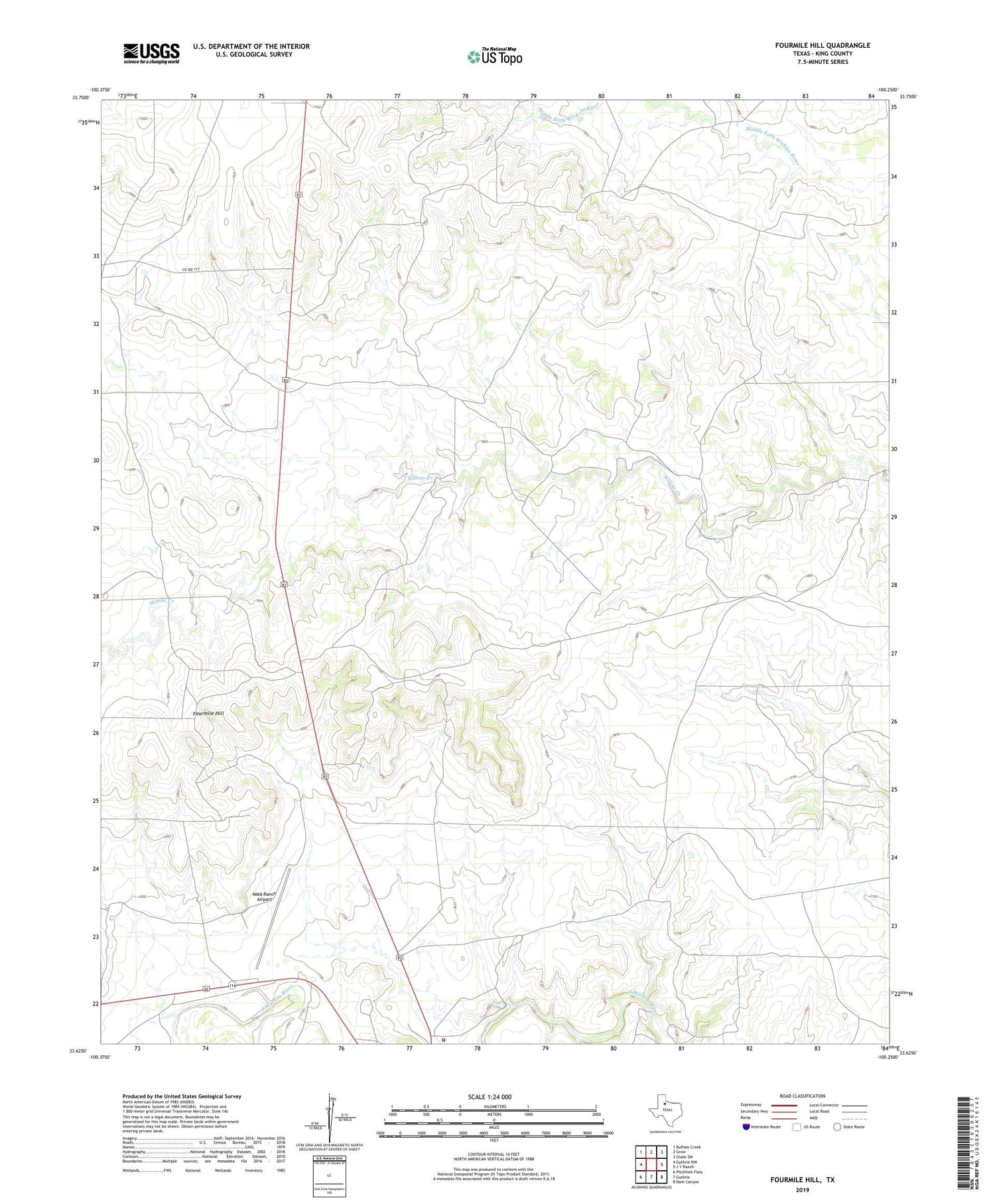
2019 topographic map quadrangle Fourmile Hill in the state of Texas. Scale: 1:24000. Based on the newly updated USGS 7.5' US Topo map series, this map is in the following counties: King. The map contains contour data, water features, and other items you are used to seeing on USGS maps, but also has updated roads and other features. This is the next generation of topographic maps. Printed on high-quality waterproof paper with UV fade-resistant inks.
Quads adjacent to this one:
West: Guthrie NW
Northwest: Buffalo Creek
North: Grow
Northeast: Chalk SW
East: J Y Ranch
Southeast: Dark Canyon
South: Guthrie
Southwest: Pitchfork Flats
Contains the following named places: 6666 Ranch Airport, Big Town Windmill, Cowboy Pen Windmill, Don Box Windmill, Double Wells Windmill, East Horse Pasture Windmill, East South Town Windmill, Fourmile Hill, Gibson Pen Windmill, Guthrie Volunteer Fire Department, Hackberry Windmill, Lower Hackberry Windmill, Martin Windmill, Ohio Windmill, Park Windmill, Red Town Windmill, Rock Creek Windmill, Salt Windmill, Scale Pen Windmill, Tackett Windmill, Toles Mesa Windmill, Upper Hackberry Windmill, Upper Willow Windmill, West Horse Pasture Windmill, West South Town Windmill, Willow Bridge Windmill