MyTopo
Goldfinch Texas US Topo Map
Couldn't load pickup availability
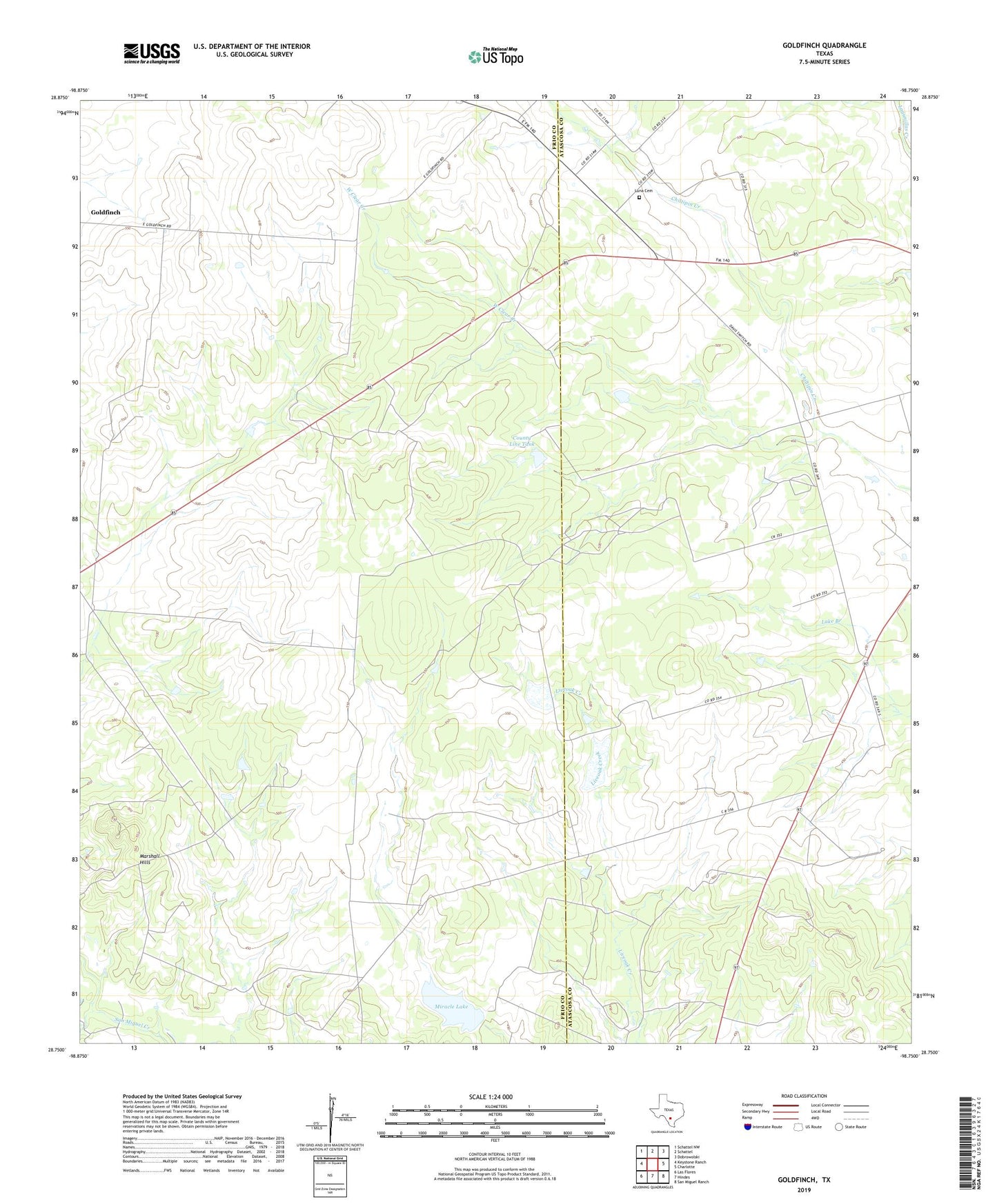
2019 topographic map quadrangle Goldfinch in the state of Texas. Scale: 1:24000. Based on the newly updated USGS 7.5' US Topo map series, this map is in the following counties: Frio, Atascosa. The map contains contour data, water features, and other items you are used to seeing on USGS maps, but also has updated roads and other features. This is the next generation of topographic maps. Printed on high-quality waterproof paper with UV fade-resistant inks.
Quads adjacent to this one:
West: Keystone Ranch
Northwest: Schattel NW
North: Schattel
Northeast: Dobrowolski
East: Charlotte
Southeast: San Miguel Ranch
South: Hindes
Southwest: Las Flores
Contains the following named places: Chilipitin Cemetery, County Line Tank, County Line Tank Dam, Davis, Goldfinch, Hackberry Creek, Marshall Hills, Miracle Lake, Miracle Lake Dam, West Charlotte Oil Field, West Clear Creek