MyTopo
Keystone Ranch Texas US Topo Map
Couldn't load pickup availability
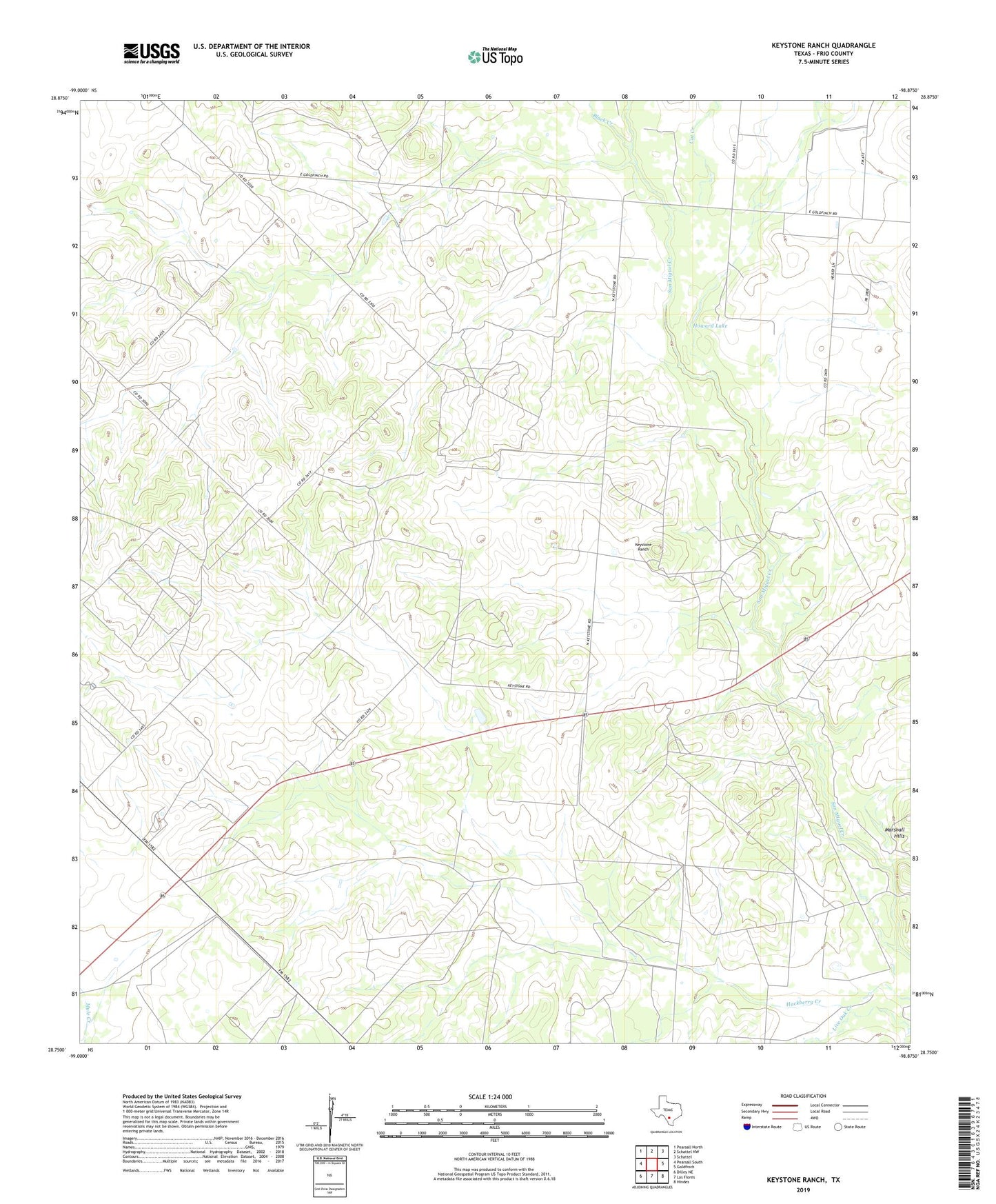
2022 topographic map quadrangle Keystone Ranch in the state of Texas. Scale: 1:24000. Based on the newly updated USGS 7.5' US Topo map series, this map is in the following counties: Frio. The map contains contour data, water features, and other items you are used to seeing on USGS maps, but also has updated roads and other features. This is the next generation of topographic maps. Printed on high-quality waterproof paper with UV fade-resistant inks.
Quads adjacent to this one:
West: Pearsall South
Northwest: Pearsall North
North: Schattel NW
Northeast: Schattel
East: Goldfinch
Southeast: Hindes
South: Las Flores
Southwest: Dilley NE
This map covers the same area as the classic USGS quad with code o28098g8.
Contains the following named places: Black Creek, Brushy Windmill, Cat Creek, Chain Windmill, Creek Windmill, Howard Lake, Keystone Ranch, Live Oak Creek, Loston Windmill, Triangle Windmill