MyTopo
Schattel Texas US Topo Map
Couldn't load pickup availability
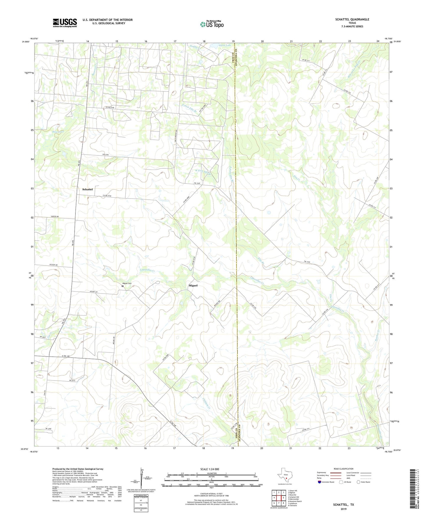
2022 topographic map quadrangle Schattel in the state of Texas. Scale: 1:24000. Based on the newly updated USGS 7.5' US Topo map series, this map is in the following counties: Frio, Atascosa. The map contains contour data, water features, and other items you are used to seeing on USGS maps, but also has updated roads and other features. This is the next generation of topographic maps. Printed on high-quality waterproof paper with UV fade-resistant inks.
Quads adjacent to this one:
West: Schattel NW
Northwest: Ghost Hill
North: Bigfoot
Northeast: Rossville
East: Dobrowolski
Southeast: Charlotte
South: Goldfinch
Southwest: Keystone Ranch
This map covers the same area as the classic USGS quad with code o28098h7.
Contains the following named places: East Fork Ellis Branch, Ellis Branch, Elm Creek, Kyote Lake, Kyote Lake Dam, Kyote Oil Field, Miguel, Miguel Cemetery, Panther Creek, Schattel, West Fork Ellis Branch, ZIP Code: 78005