MyTopo
Goliad Texas US Topo Map
Couldn't load pickup availability
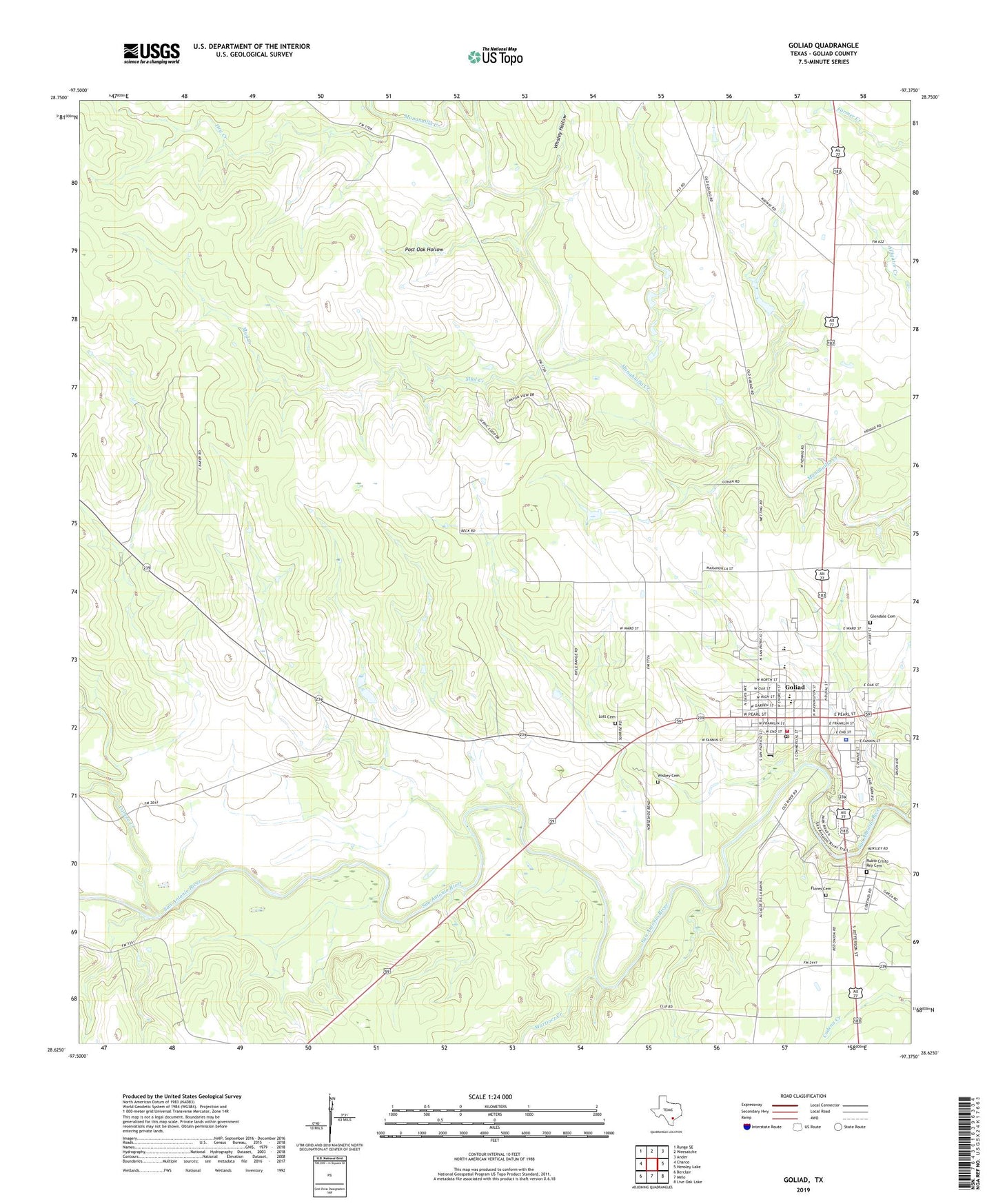
2019 topographic map quadrangle Goliad in the state of Texas. Scale: 1:24000. Based on the newly updated USGS 7.5' US Topo map series, this map is in the following counties: Goliad. The map contains contour data, water features, and other items you are used to seeing on USGS maps, but also has updated roads and other features. This is the next generation of topographic maps. Printed on high-quality waterproof paper with UV fade-resistant inks.
Quads adjacent to this one:
West: Charco
Northwest: Runge SE
North: Weesatche
Northeast: Ander
East: Hensley Lake
Southeast: Live Oak Lake
South: Melo
Southwest: Berclair
Contains the following named places: Cabeza Creek, Captain Barton Peck House, Charles H and Catherine B Baker House, City of Goliad, Doctor LW and Martha ES Chilton House, Dry Creek, Farley Windmill, Flores Cemetery, Glendale Cemetery, Goliad, Goliad City Hall, Goliad County, Goliad County Courthouse Historic District, Goliad County Emergency Medical Services, Goliad County Fairgound, Goliad County Jail, Goliad County Sheriff's Office, Goliad Elementary School, Goliad High School, Goliad North Division, Goliad Post Office, Goliad State Park, Goliad State Park Trail, Goliad Volunteer Fire Department, Jessie W Stoddard House, Lott Cemetery, Market House Museum, Martinez Creek, Matt Windmill, Mission Espiritu Santo, Mission Nuestra Senora del Rosario, Mount Moriah Baptist Church, Mud Creek, Old Market House Museum, Peters Creek, Placedo Windmill, Post Oak Hollow, Presidio La Bahia, Presidio la Bahia Museum, Presidio Nuestra Senora de Loreto de la Bahia, River Windmill, Rubio Cristo Rey Cemetery, Whaley Hollow, Wisbey Cemetery, Zion Hill Church, ZIP Code: 77963