MyTopo
Hackberry Texas US Topo Map
Couldn't load pickup availability
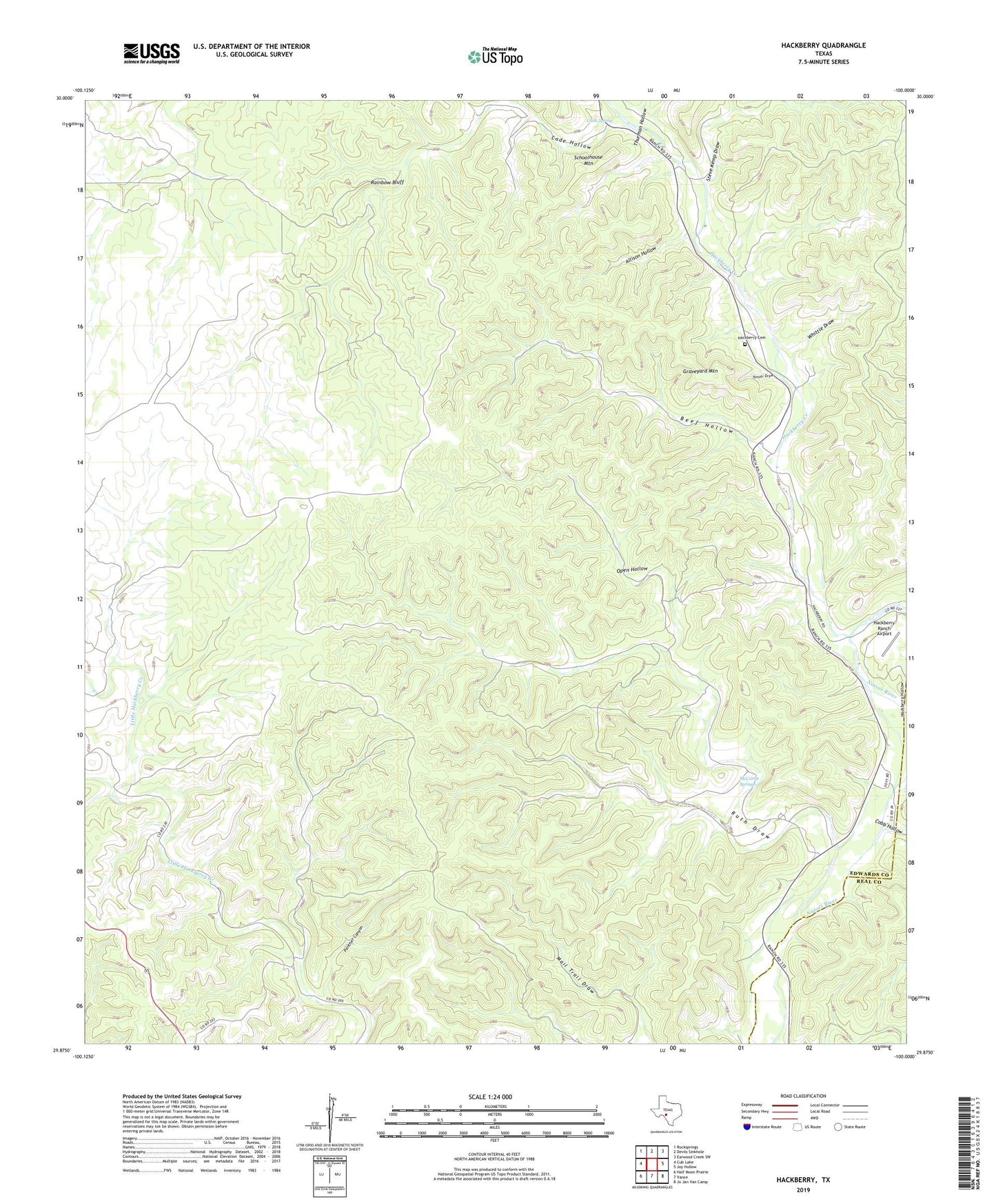
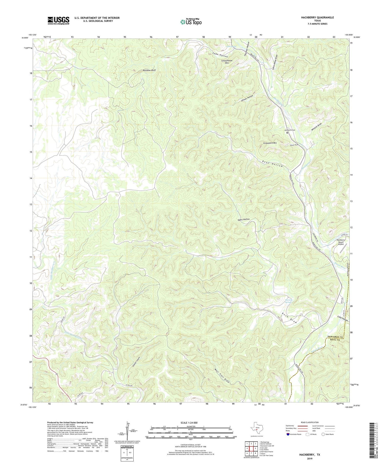
2019 topographic map quadrangle Hackberry in the state of Texas. Scale: 1:24000. Based on the newly updated USGS 7.5' US Topo map series, this map is in the following counties: Edwards, Real. The map contains contour data, water features, and other items you are used to seeing on USGS maps, but also has updated roads and other features. This is the next generation of topographic maps. Printed on high-quality waterproof paper with UV fade-resistant inks.
Quads adjacent to this one:
West: Cub Lake
Northwest: Rocksprings
North: Devils Sinkhole
Northeast: Earwood Creek SW
East: Joy Hollow
Southeast: Jo Jan Van Camp
South: Vance
Southwest: Half Moon Prairie
Contains the following named places: Allison Hollow, Beef Hollow, Cade Hole, Cade Hollow, Cade Spring, Cobb Hollow, East Prong Nueces River, Graveyard Mountain, Hackberry, Hackberry Cemetery, Hackberry Creek, Hackberry Hollow, Hackberry Ranch Airport, Kalentine Hole, McCurdy Springs, Open Hollow, Panther Canyon, Rainbow Bluff, Ruth Draw, Schoolhouse Mountain, Steve Kemp Draw, Tanner Draw, Thurman Hollow, Whittle Draw