
MyTopo
Hahn Texas US Topo Map
Couldn't load pickup availability
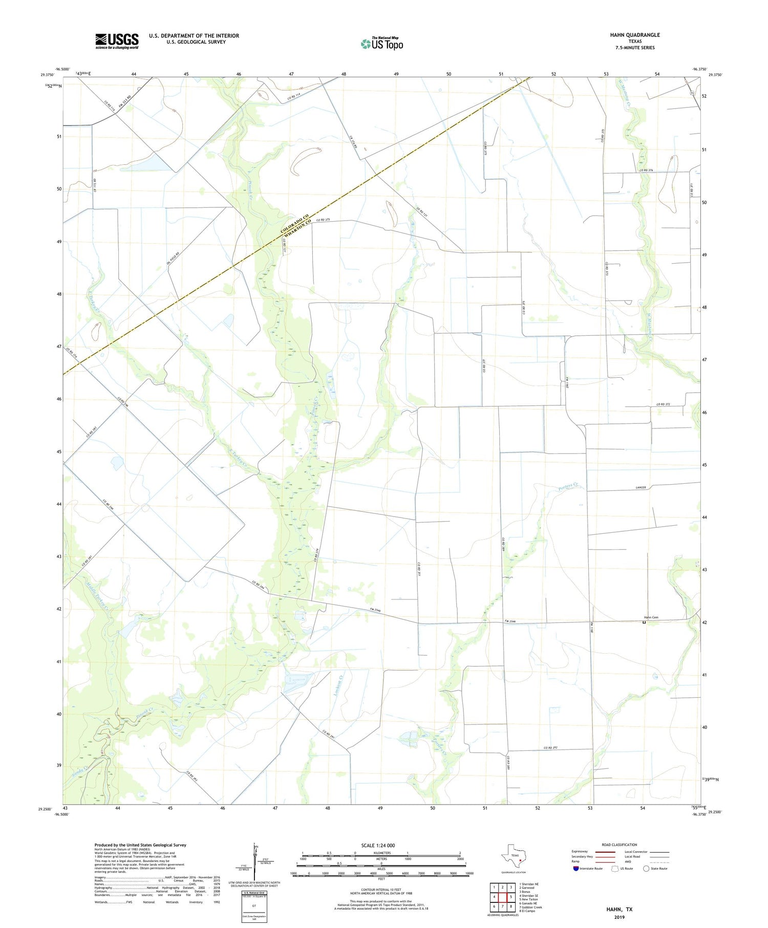
2019 topographic map quadrangle Hahn in the state of Texas. Scale: 1:24000. Based on the newly updated USGS 7.5' US Topo map series, this map is in the following counties: Wharton, Colorado. The map contains contour data, water features, and other items you are used to seeing on USGS maps, but also has updated roads and other features. This is the next generation of topographic maps. Printed on high-quality waterproof paper with UV fade-resistant inks.
Quads adjacent to this one:
West: Sheridan SE
Northwest: Sheridan NE
North: Garwood
Northeast: Bonus
East: New Taiton
Southeast: El Campo
South: Gobbler Creek
Southwest: Ganado NE
Contains the following named places: East Turkey Creek, Hahn, Hahn Cemetery, Meeks Camp, Middle Turkey Creek, Mount Pilgrim Church, Pinoak Creek, Taiton, West Turkey Creek


