MyTopo
Ganado NE Texas US Topo Map
Couldn't load pickup availability
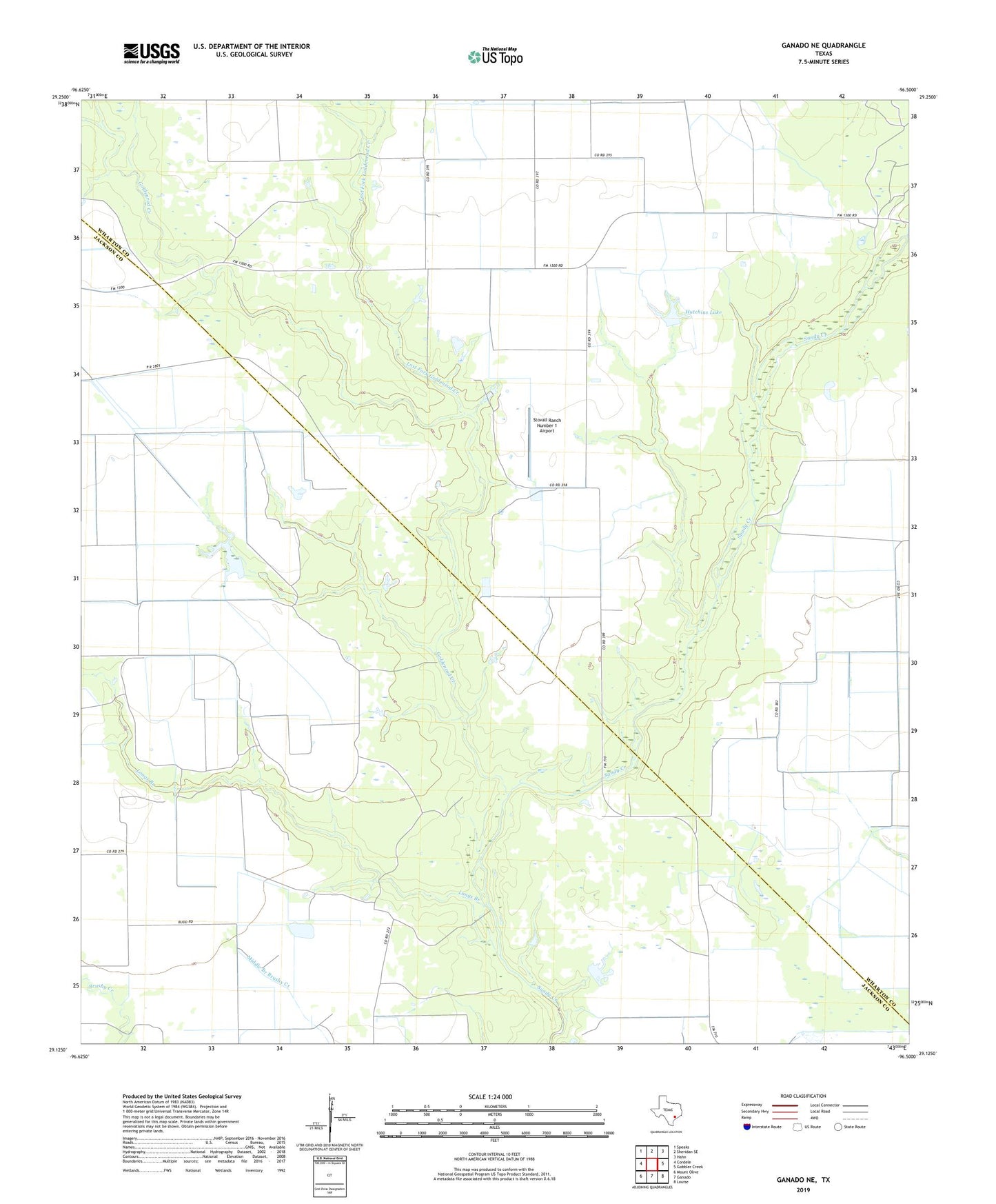
2022 topographic map quadrangle Ganado NE in the state of Texas. Scale: 1:24000. Based on the newly updated USGS 7.5' US Topo map series, this map is in the following counties: Wharton, Jackson. The map contains contour data, water features, and other items you are used to seeing on USGS maps, but also has updated roads and other features. This is the next generation of topographic maps. Printed on high-quality waterproof paper with UV fade-resistant inks.
Quads adjacent to this one:
West: Cordele
Northwest: Speaks
North: Sheridan SE
Northeast: Hahn
East: Gobbler Creek
Southeast: Louise
South: Ganado
Southwest: Mount Olive
This map covers the same area as the classic USGS quad with code o29096b5.
Contains the following named places: Goldenrod Creek, Hutchins Lake, Hutchins Lake Dam, Longs Branch, Lost Fork Goldenrod Creek, Sandies Church, Stovall Ranch Number 1 Airport