MyTopo
Halamicek Ranch Texas US Topo Map
Couldn't load pickup availability
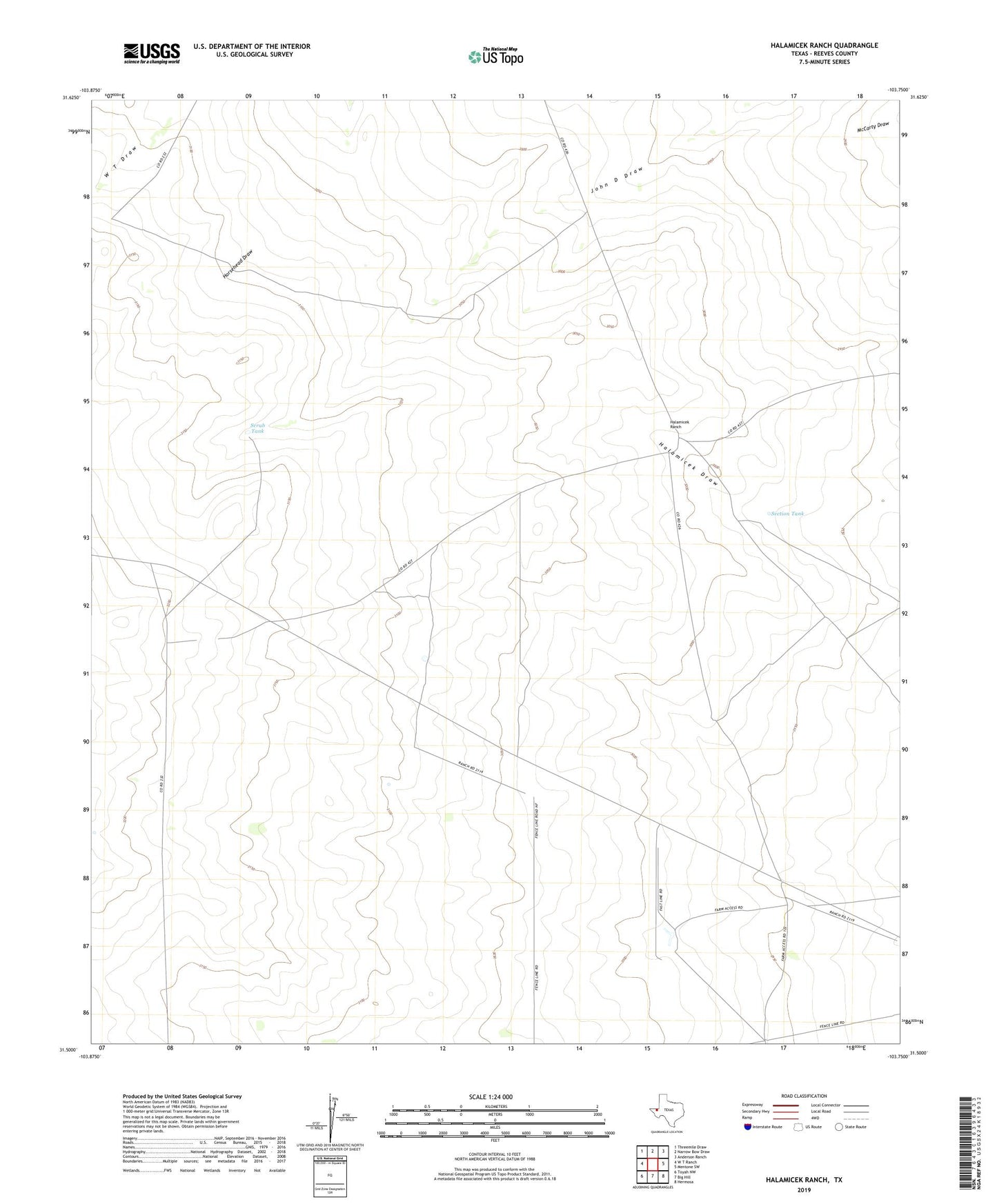
2019 topographic map quadrangle Halamicek Ranch in the state of Texas. Scale: 1:24000. Based on the newly updated USGS 7.5' US Topo map series, this map is in the following counties: Reeves. The map contains contour data, water features, and other items you are used to seeing on USGS maps, but also has updated roads and other features. This is the next generation of topographic maps. Printed on high-quality waterproof paper with UV fade-resistant inks.
Quads adjacent to this one:
West: W T Ranch
Northwest: Threemile Draw
North: Narrow Bow Draw
Northeast: Anderson Ranch
East: Mentone SW
Southeast: Hermosa
South: Big Hill
Southwest: Toyah NW
Contains the following named places: Burchard Place, Draw Windmill, Halamicek Ranch, High Lonesome Ranch, Scrub Tank, Section Tank, Smith Windmill, South Windmill, Steer Windmill