MyTopo
Hensley Lake Texas US Topo Map
Couldn't load pickup availability
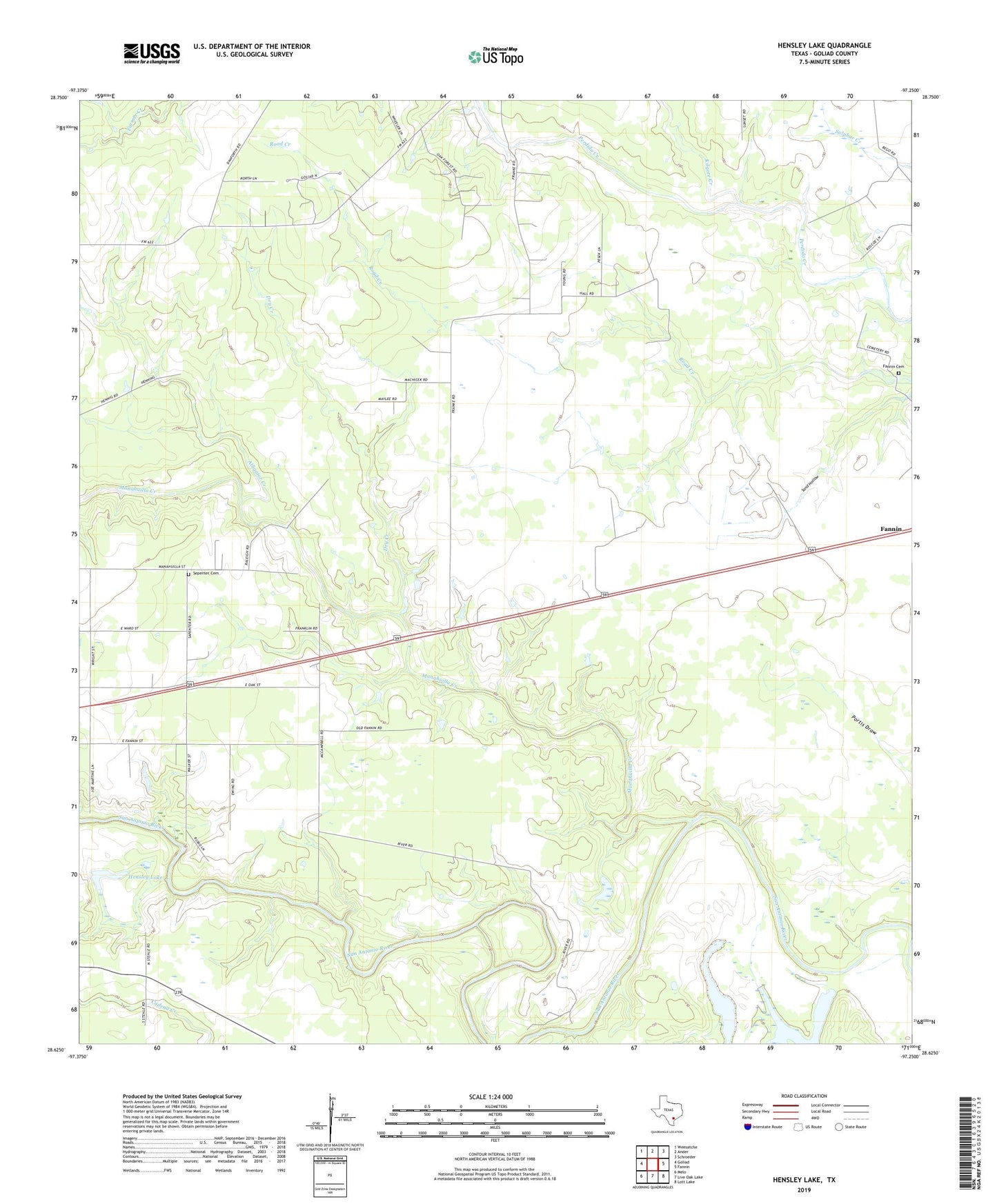
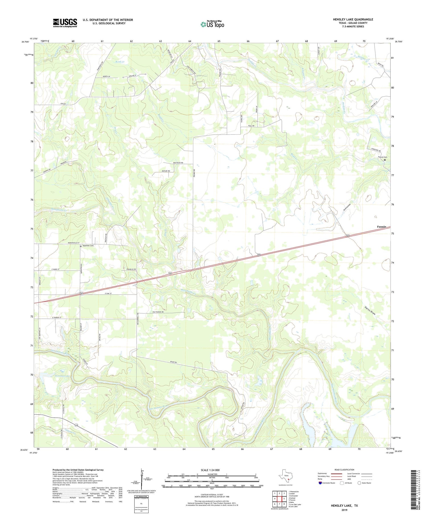
2019 topographic map quadrangle Hensley Lake in the state of Texas. Scale: 1:24000. Based on the newly updated USGS 7.5' US Topo map series, this map is in the following counties: Goliad. The map contains contour data, water features, and other items you are used to seeing on USGS maps, but also has updated roads and other features. This is the next generation of topographic maps. Printed on high-quality waterproof paper with UV fade-resistant inks.
Quads adjacent to this one:
West: Goliad
Northwest: Weesatche
North: Ander
Northeast: Schroeder
East: Fannin
Southeast: Lott Lake
South: Live Oak Lake
Southwest: Melo
Contains the following named places: Alkek Oil Field, Alligator Creek, Dry Creek, Hensley Lake, Hensley Lake Dam, Horseshoe Lake, Kilgore Creek, Live Oak Cemetery, Manahuilla Creek, Matze Oil Field, Minnehulla Church, Mulley Windmill, Scurlock, Sepenter Cemetery