MyTopo
Schroeder Texas US Topo Map
Couldn't load pickup availability
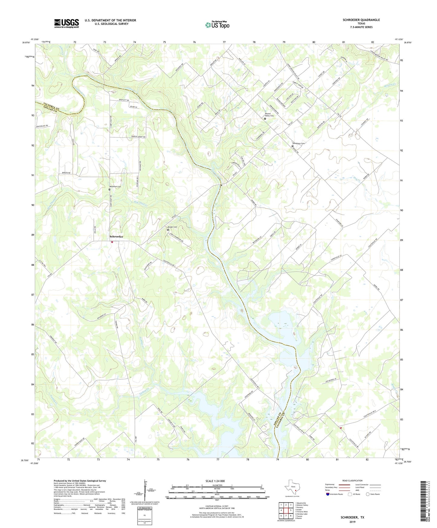
2022 topographic map quadrangle Schroeder in the state of Texas. Scale: 1:24000. Based on the newly updated USGS 7.5' US Topo map series, this map is in the following counties: Victoria, Goliad. The map contains contour data, water features, and other items you are used to seeing on USGS maps, but also has updated roads and other features. This is the next generation of topographic maps. Printed on high-quality waterproof paper with UV fade-resistant inks.
Quads adjacent to this one:
West: Ander
Northwest: Meyersville
North: Mission Valley
Northeast: Nursery
East: Victoria West
Southeast: Raisin
South: Fannin
Southwest: Hensley Lake
This map covers the same area as the classic USGS quad with code o28097g2.
Contains the following named places: Berger Cemetery, Bullocks Church, Coletoville, Fifteenmile Creek, Gobbler Creek, Hog Thief Creek, Johns Creek, Kilgore Tank, Mission Valley Cemetery, Mistletoe Cemetery, Raisin Volunteer Fire Department Station 5, Saint Lukes Church, Schroeder, Schroeder Volunteer Fire Department, Twelvemile Creek, Woodlawn Cemetery