MyTopo
Horseshoe Hill Texas US Topo Map
Couldn't load pickup availability
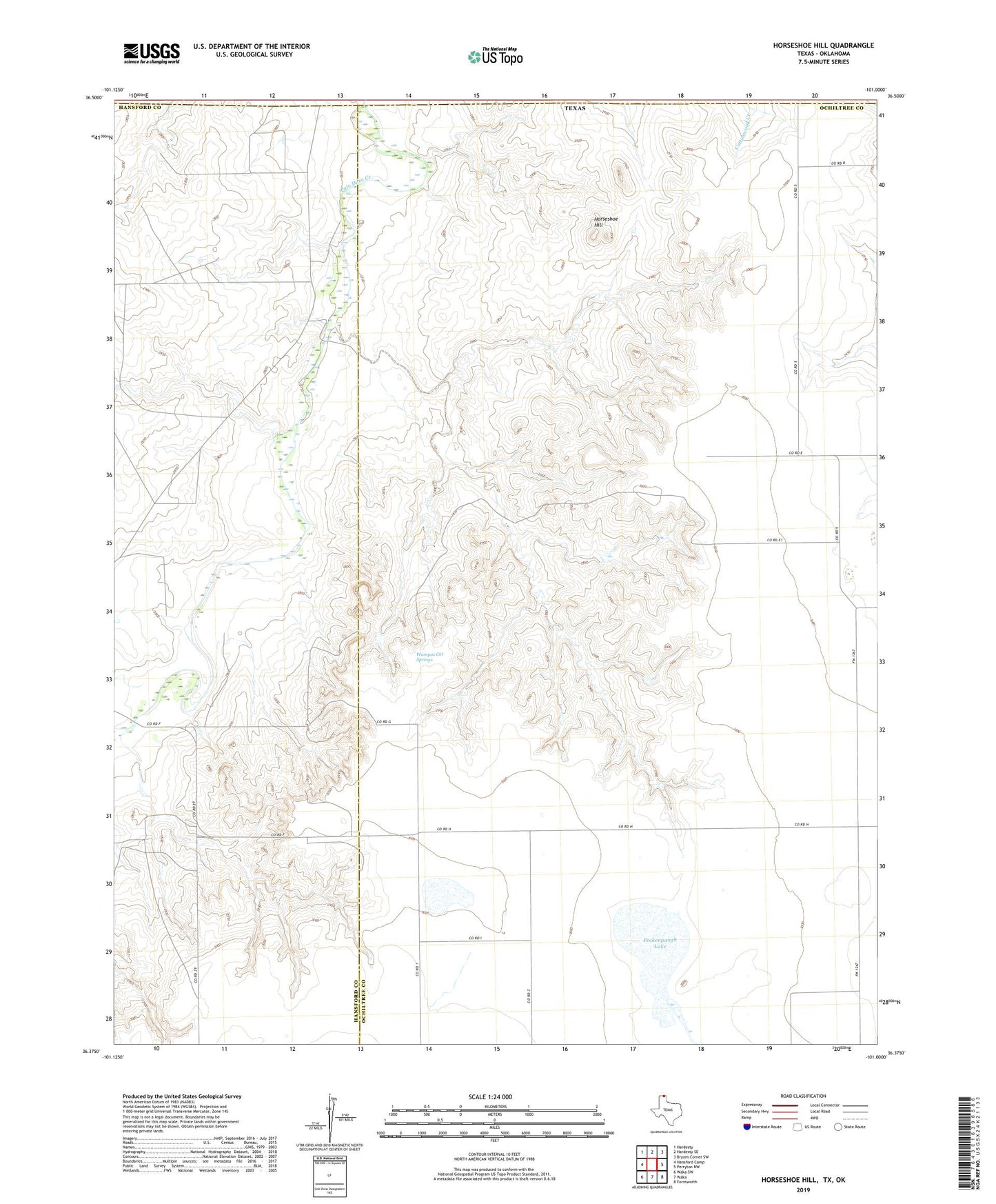
2019 topographic map quadrangle Horseshoe Hill in the state of Texas. Scale: 1:24000. Based on the newly updated USGS 7.5' US Topo map series, this map is in the following counties: Ochiltree, Hansford, Texas. The map contains contour data, water features, and other items you are used to seeing on USGS maps, but also has updated roads and other features. This is the next generation of topographic maps. Printed on high-quality waterproof paper with UV fade-resistant inks.
Quads adjacent to this one:
West: Hansford Camp
Northwest: Hardesty
North: Hardesty SE
Northeast: Bryans Corner SW
East: Perryton NW
Southeast: Farnsworth
South: Waka
Southwest: Waka SW
Contains the following named places: Horseshoe Hill, Peckenpaugh Lake, Wampus Cat Springs