MyTopo
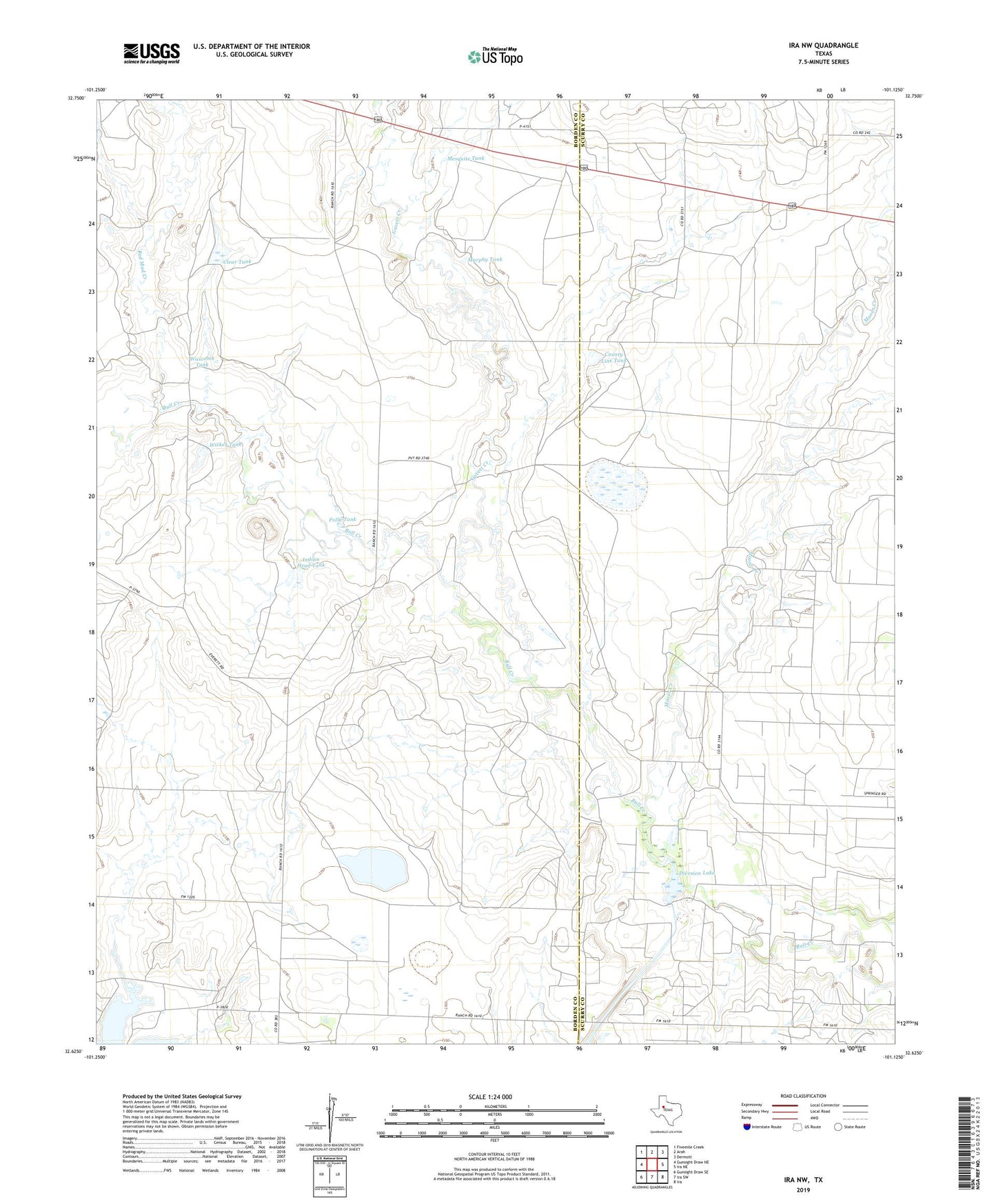
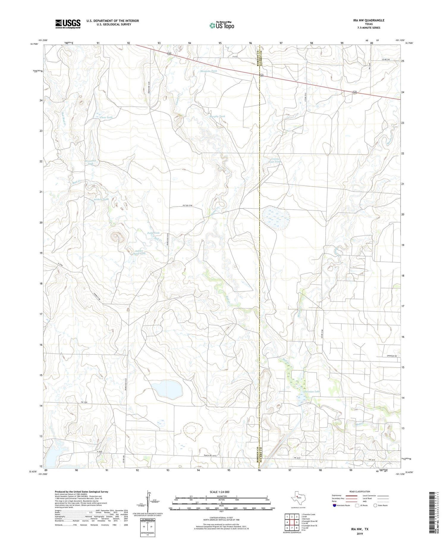
Ira NW Texas US Topo Map
Couldn't load pickup availability
2019 topographic map quadrangle Ira NW in the state of Texas. Scale: 1:24000. Based on the newly updated USGS 7.5' US Topo map series, this map is in the following counties: Borden, Scurry. The map contains contour data, water features, and other items you are used to seeing on USGS maps, but also has updated roads and other features. This is the next generation of topographic maps. Printed on high-quality waterproof paper with UV fade-resistant inks.
Quads adjacent to this one:
West: Gunsight Draw NE
Northwest: Fivemile Creek
North: Arah
Northeast: Dermott
East: Ira NE
Southeast: Ira
South: Ira SW
Southwest: Gunsight Draw SE
Contains the following named places: Clear Tank, County Line Tank, Divesion Lake, Gavett Creek, Indian Head Tank, Indian Head Tank Dam, Mesquite Tank, Mooar Creek, Murphy Tank, Nine R Ranch, Polly Tank, Red Mud Creek, Union School, Wascomb Tank, Wicker Tank