MyTopo
J Y Ranch Texas US Topo Map
Couldn't load pickup availability
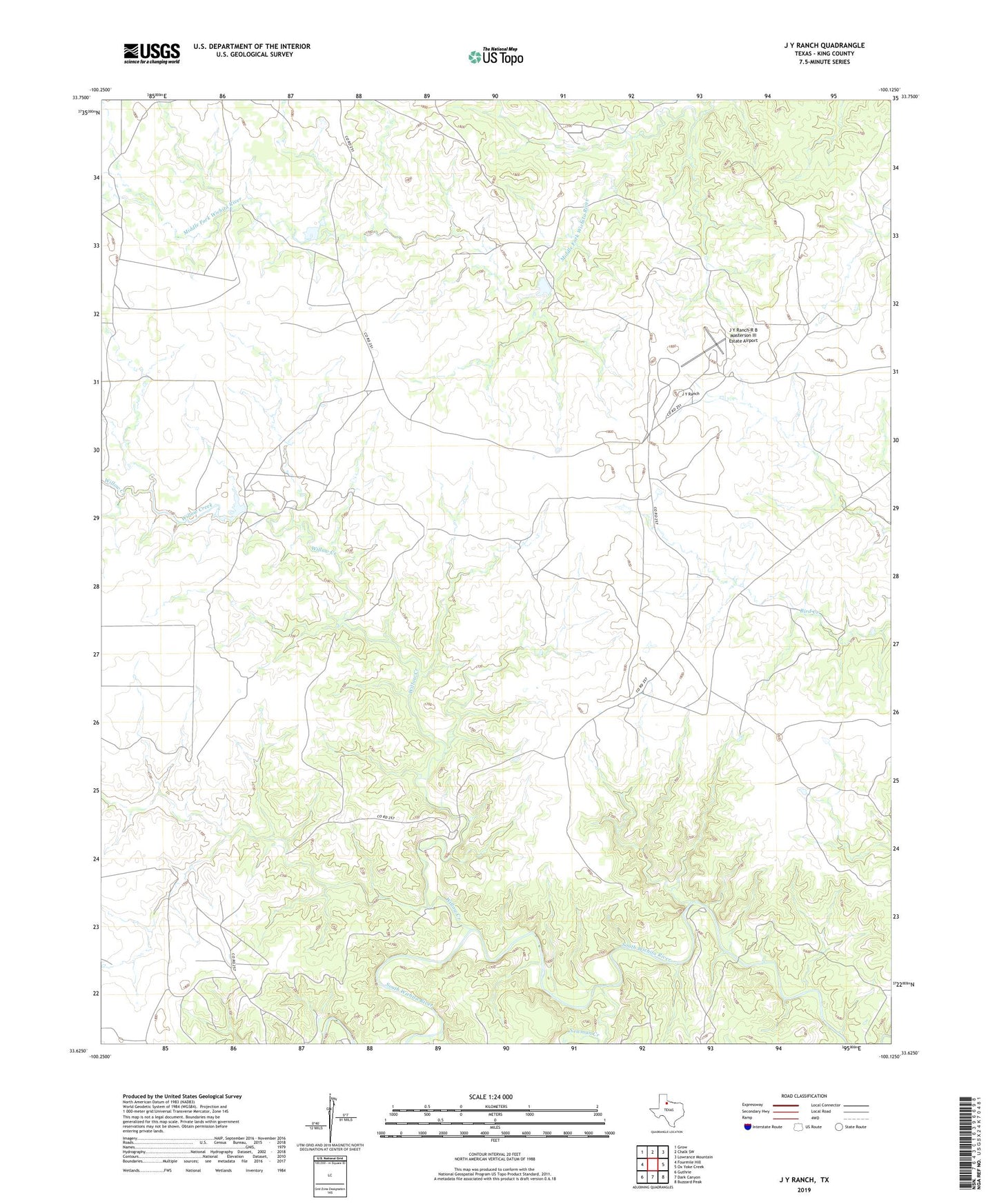
2019 topographic map quadrangle J Y Ranch in the state of Texas. Scale: 1:24000. Based on the newly updated USGS 7.5' US Topo map series, this map is in the following counties: King. The map contains contour data, water features, and other items you are used to seeing on USGS maps, but also has updated roads and other features. This is the next generation of topographic maps. Printed on high-quality waterproof paper with UV fade-resistant inks.
Quads adjacent to this one:
West: Fourmile Hill
Northwest: Grow
North: Chalk SW
Northeast: Lowrance Mountain
East: Ox Yoke Creek
Southeast: Buzzard Peak
South: Dark Canyon
Southwest: Guthrie
Contains the following named places: Bateman Oil Field, J Y Ranch, J Y Ranch South Camp, J Y Ranch-R B Masterson III Estate Airport, Newman Creek, Willow Creek