MyTopo
Justiceburg Texas US Topo Map
Couldn't load pickup availability
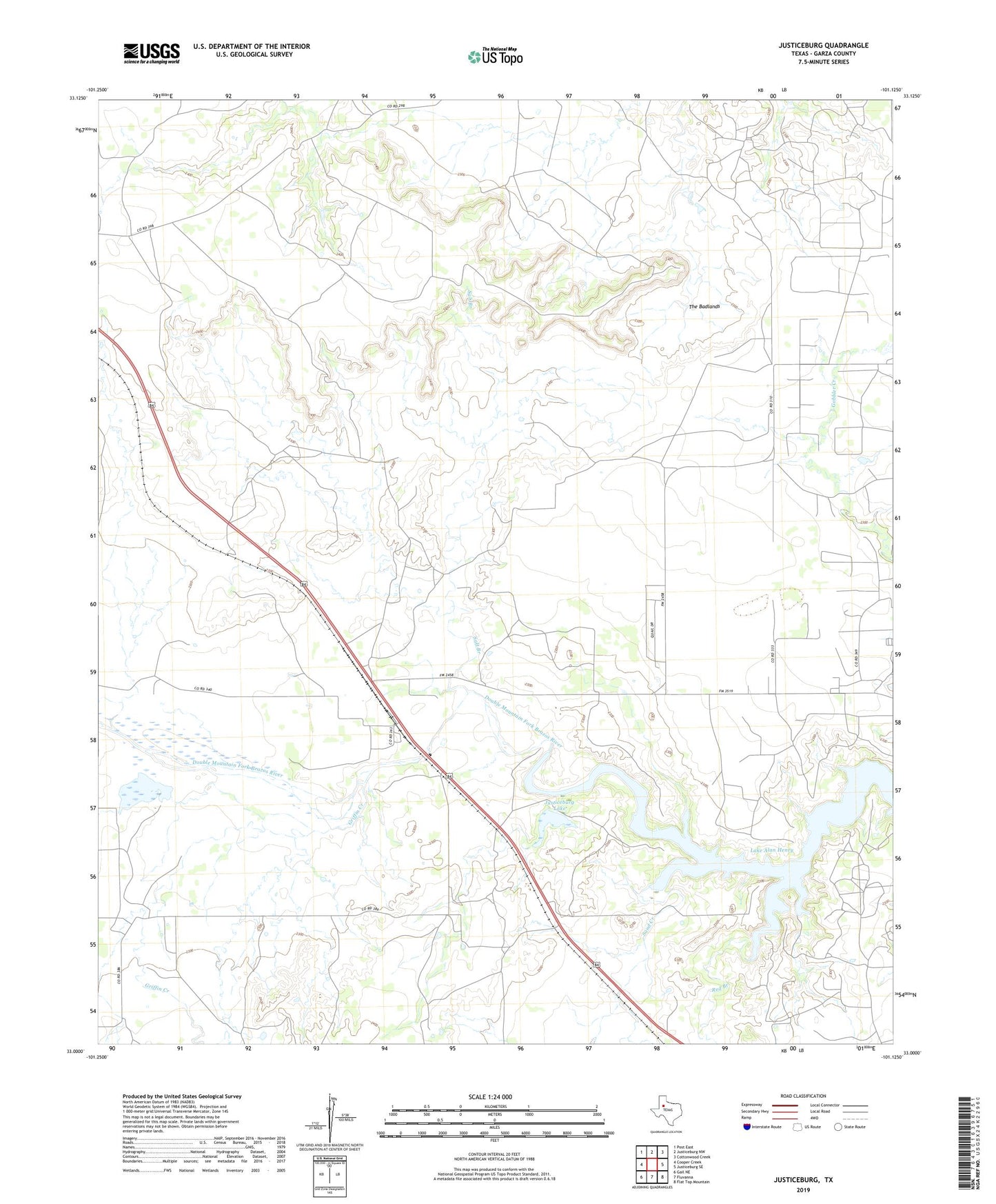
2019 topographic map quadrangle Justiceburg in the state of Texas. Scale: 1:24000. Based on the newly updated USGS 7.5' US Topo map series, this map is in the following counties: Garza. The map contains contour data, water features, and other items you are used to seeing on USGS maps, but also has updated roads and other features. This is the next generation of topographic maps. Printed on high-quality waterproof paper with UV fade-resistant inks.
Quads adjacent to this one:
West: Cooper Creek
Northwest: Post East
North: Justiceburg NW
Northeast: Cottonwood Creek
East: Justiceburg SE
Southeast: Flat Top Mountain
South: Fluvanna
Southwest: Gail NE
Contains the following named places: Cooper Creek, Cow Spur, Curt- Roy Oil Field, Gobbler Creek, Griffin Creek, Justiceburg, Justiceburg Lake, Justiceburg Lake Dam, Justiceburg Oil Field, North Justiceburg Oil Field, Red Branch, Salt Branch, Sand Creek, The Badlands, ZIP Code: 79330