
MyTopo
Kelley Peak Texas US Topo Map
Couldn't load pickup availability
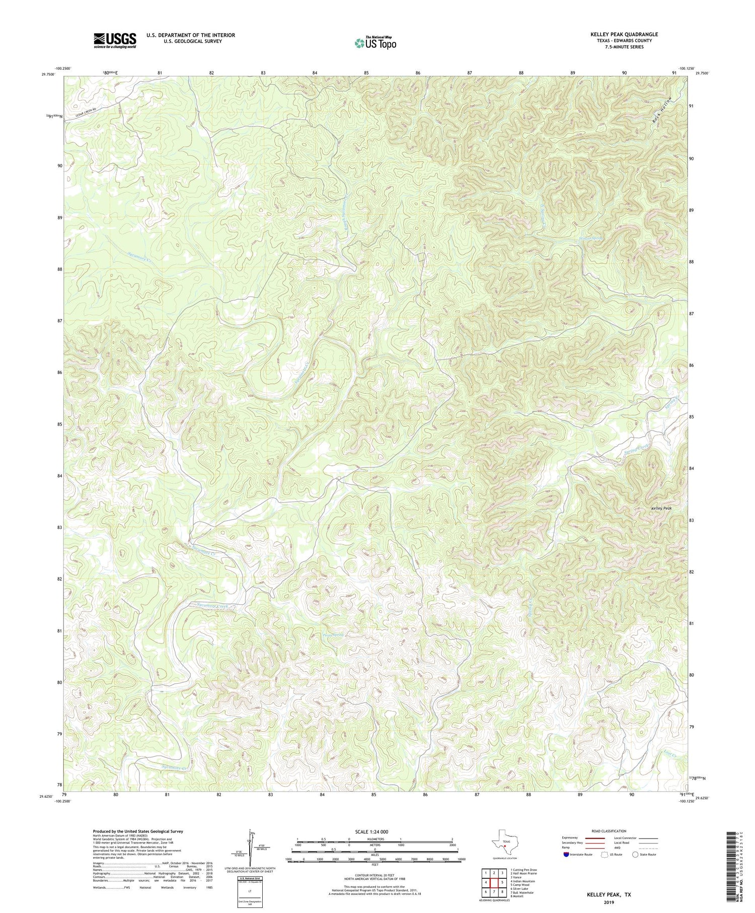
2019 topographic map quadrangle Kelley Peak in the state of Texas. Scale: 1:24000. Based on the newly updated USGS 7.5' US Topo map series, this map is in the following counties: Edwards. The map contains contour data, water features, and other items you are used to seeing on USGS maps, but also has updated roads and other features. This is the next generation of topographic maps. Printed on high-quality waterproof paper with UV fade-resistant inks.
Quads adjacent to this one:
West: Indian Mountain
Northwest: Cutting Pen Draw
North: Half Moon Prairie
Northeast: Vance
East: Camp Wood
Southeast: Montell
South: Bull Waterhole
Southwest: Silver Lake
Contains the following named places: Collingsworth Public Library, Kelley Peak, Pecan Spring, Rough Sycamore Creek, Winans Spring


