MyTopo
Kosciusko Texas US Topo Map
Couldn't load pickup availability
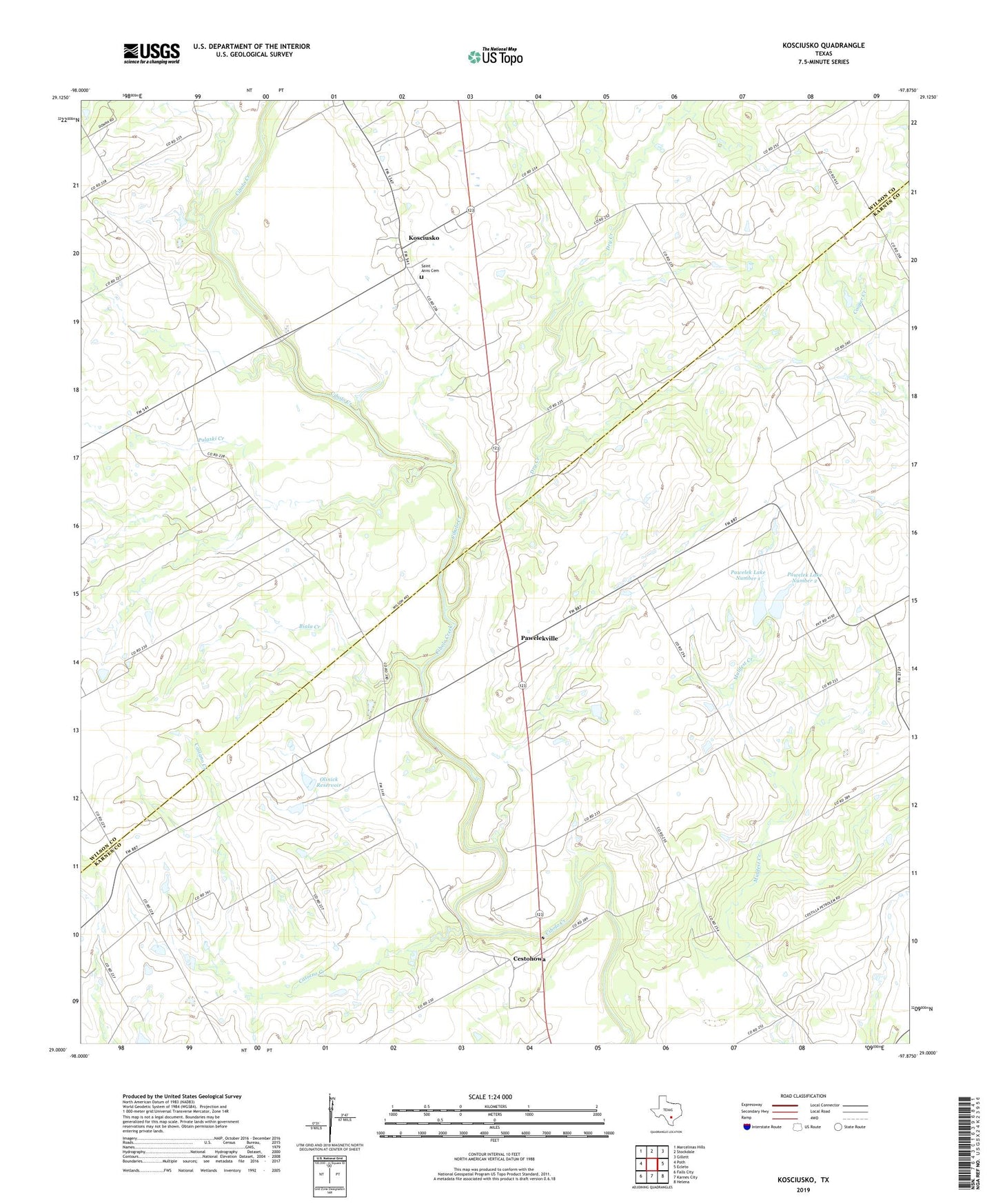
2019 topographic map quadrangle Kosciusko in the state of Texas. Scale: 1:24000. Based on the newly updated USGS 7.5' US Topo map series, this map is in the following counties: Karnes, Wilson. The map contains contour data, water features, and other items you are used to seeing on USGS maps, but also has updated roads and other features. This is the next generation of topographic maps. Printed on high-quality waterproof paper with UV fade-resistant inks.
Quads adjacent to this one:
West: Poth
Northwest: Marcelinas Hills
North: Stockdale
Northeast: Gillett
East: Ecleto
Southeast: Helena
South: Karnes City
Southwest: Falls City
Contains the following named places: Biala Creek, Casiano Creek, Cestohowa, Dry Creek, Kosciusko, Olinick Dam, Olinick Reservoir, Pawelek Lake Number 1, Pawelek Lake Number 1 Dam, Pawelek Lake Number 2, Pawelek Lake Number 2 Dam, Pawelekville, Pulaski Creek, Pulaski School, Saint Anns Cemetery, Saint Anns Church