MyTopo
Live Oak Lake Texas US Topo Map
Couldn't load pickup availability
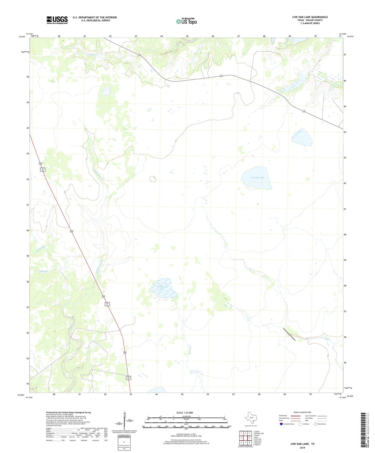
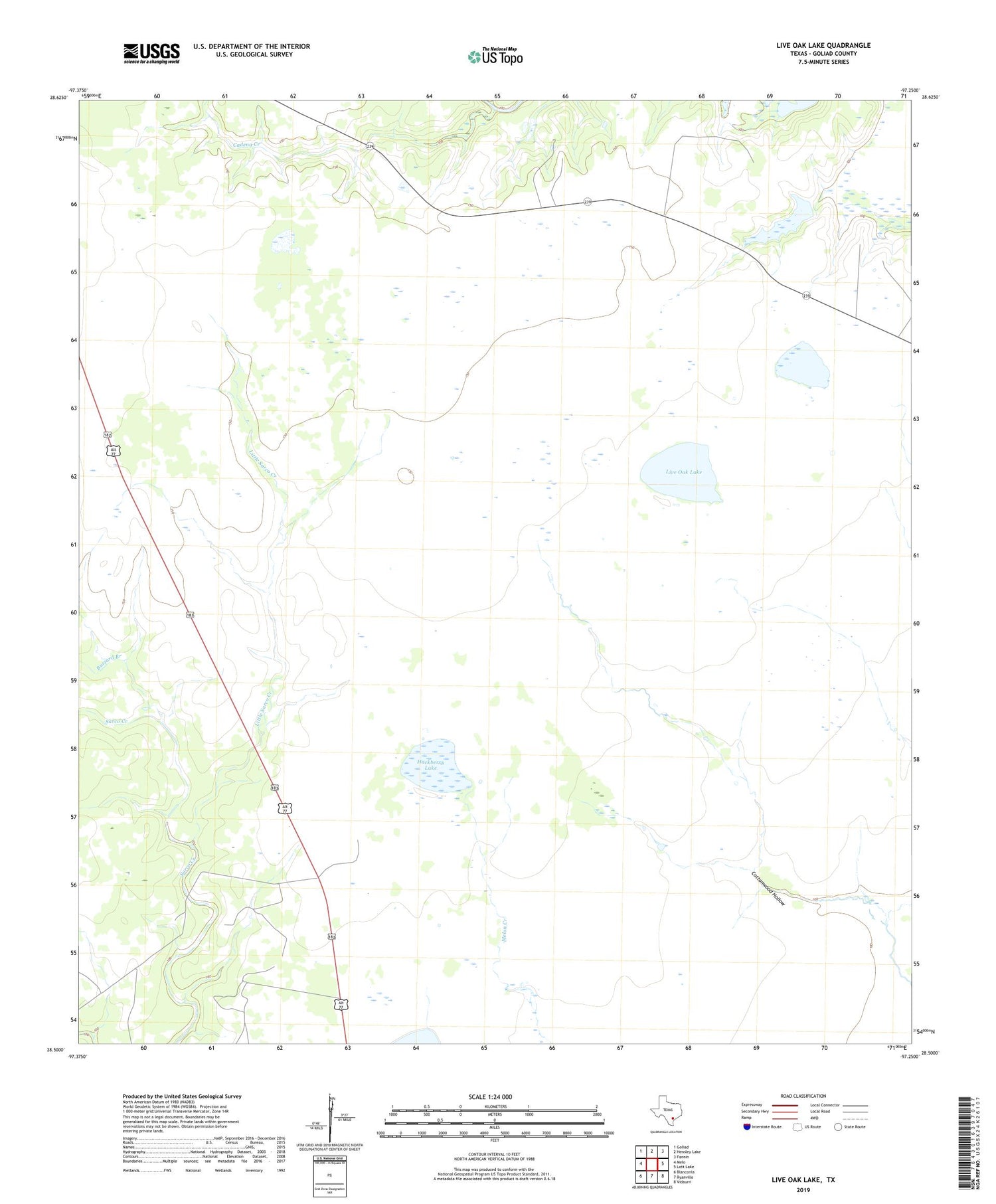
2019 topographic map quadrangle Live Oak Lake in the state of Texas. Scale: 1:24000. Based on the newly updated USGS 7.5' US Topo map series, this map is in the following counties: Goliad. The map contains contour data, water features, and other items you are used to seeing on USGS maps, but also has updated roads and other features. This is the next generation of topographic maps. Printed on high-quality waterproof paper with UV fade-resistant inks.
Quads adjacent to this one:
West: Melo
Northwest: Goliad
North: Hensley Lake
Northeast: Fannin
East: Lott Lake
Southeast: Vidaurri
South: Ryanville
Southwest: Blanconia
Contains the following named places: Buzzard Branch, Cadena Creek, Dutch Trap Windmill, Hackberry Lake, Lake Windmill, Little Sarco Creek, Little Sarco Windmill, Live Oak Lake, Old Vat Windmill, River Ranch, Sarco Creek Gas Field, Woods Windmill