MyTopo
Vidaurri Texas US Topo Map
Couldn't load pickup availability
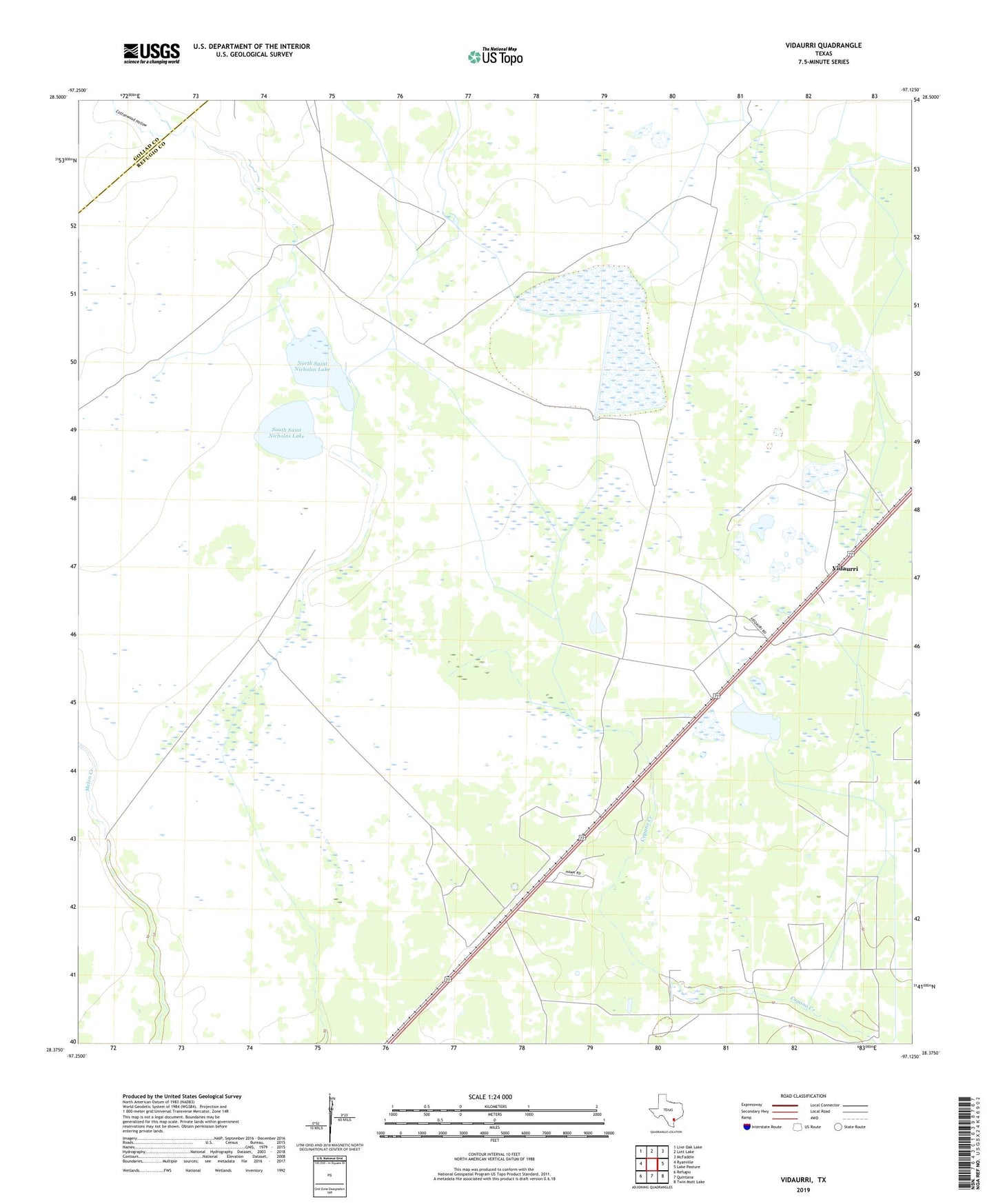
2022 topographic map quadrangle Vidaurri in the state of Texas. Scale: 1:24000. Based on the newly updated USGS 7.5' US Topo map series, this map is in the following counties: Refugio, Goliad. The map contains contour data, water features, and other items you are used to seeing on USGS maps, but also has updated roads and other features. This is the next generation of topographic maps. Printed on high-quality waterproof paper with UV fade-resistant inks.
Quads adjacent to this one:
West: Ryanville
Northwest: Live Oak Lake
North: Lott Lake
Northeast: McFaddin
East: Lake Pasture
Southeast: Twin Mott Lake
South: Quintana
Southwest: Refugio
This map covers the same area as the classic USGS quad with code o28097d2.
Contains the following named places: Cottonwood Hollow, Greta Oil Field, North Saint Nicholas Lake, Refugio Division, Sharps Lake, South Saint Nicholas Lake, Vidaurri, Welder Ranch, West Vidauri Oil Field