MyTopo
Lockettville Texas US Topo Map
Couldn't load pickup availability
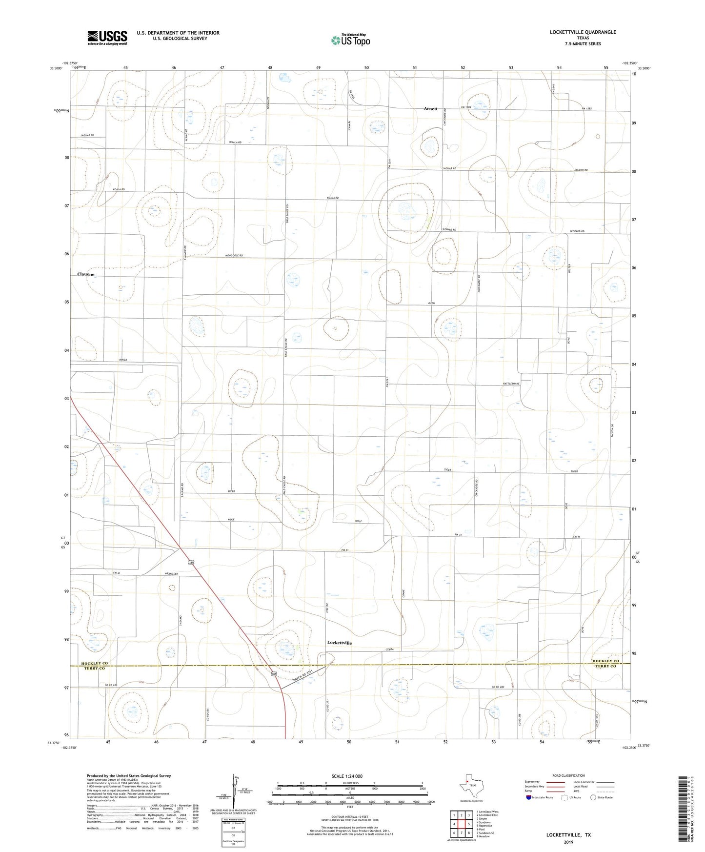
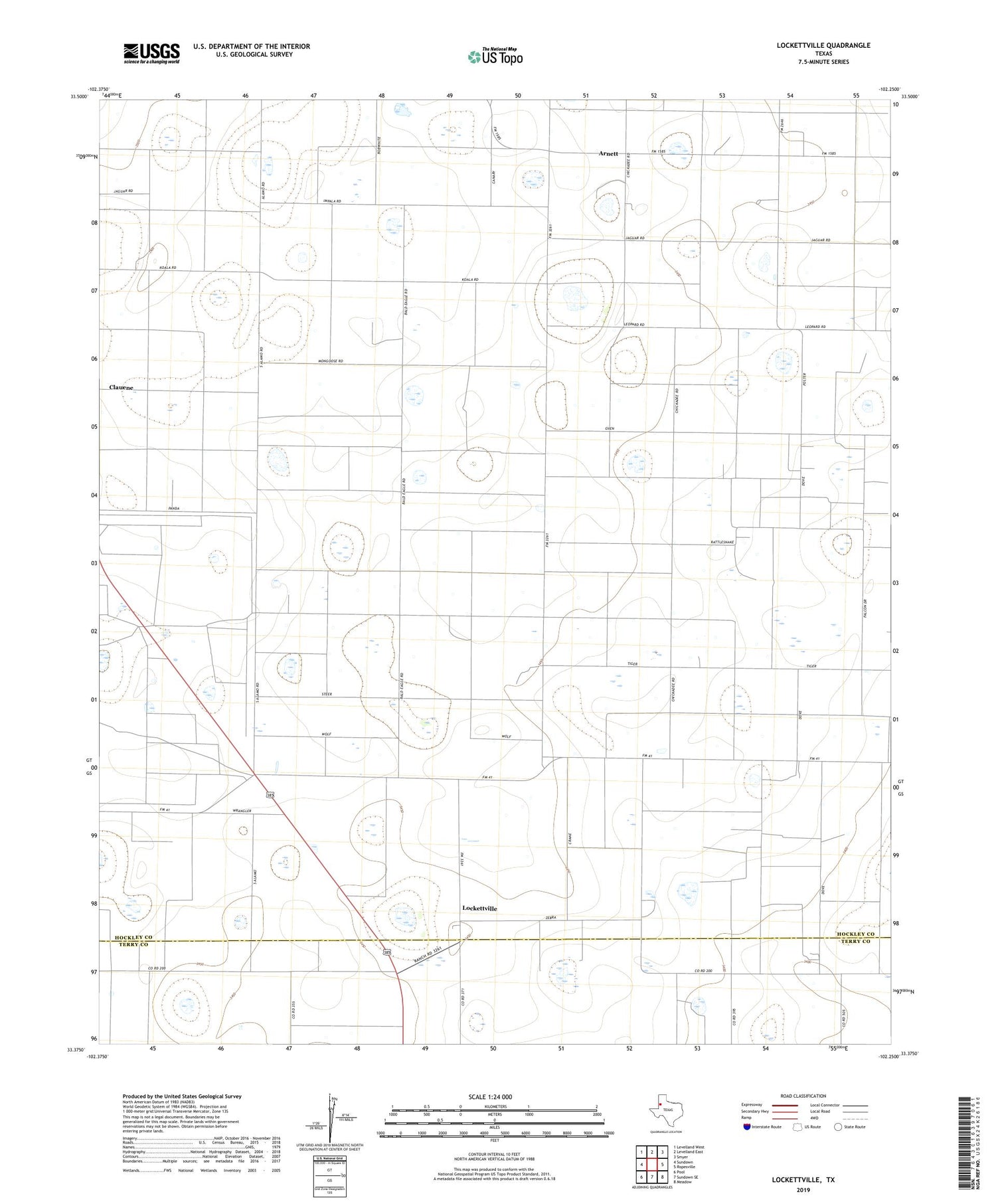
2019 topographic map quadrangle Lockettville in the state of Texas. Scale: 1:24000. Based on the newly updated USGS 7.5' US Topo map series, this map is in the following counties: Hockley, Terry. The map contains contour data, water features, and other items you are used to seeing on USGS maps, but also has updated roads and other features. This is the next generation of topographic maps. Printed on high-quality waterproof paper with UV fade-resistant inks.
Quads adjacent to this one:
West: Sundown
Northwest: Levelland West
North: Levelland East
Northeast: Smyer
East: Ropesville
Southeast: Meadow
South: Sundown SE
Southwest: Pool
Contains the following named places: Arnett, Lockettville, Pro Agri Airport, West Ropes Oil Field