MyTopo
Levelland East Texas US Topo Map
Couldn't load pickup availability
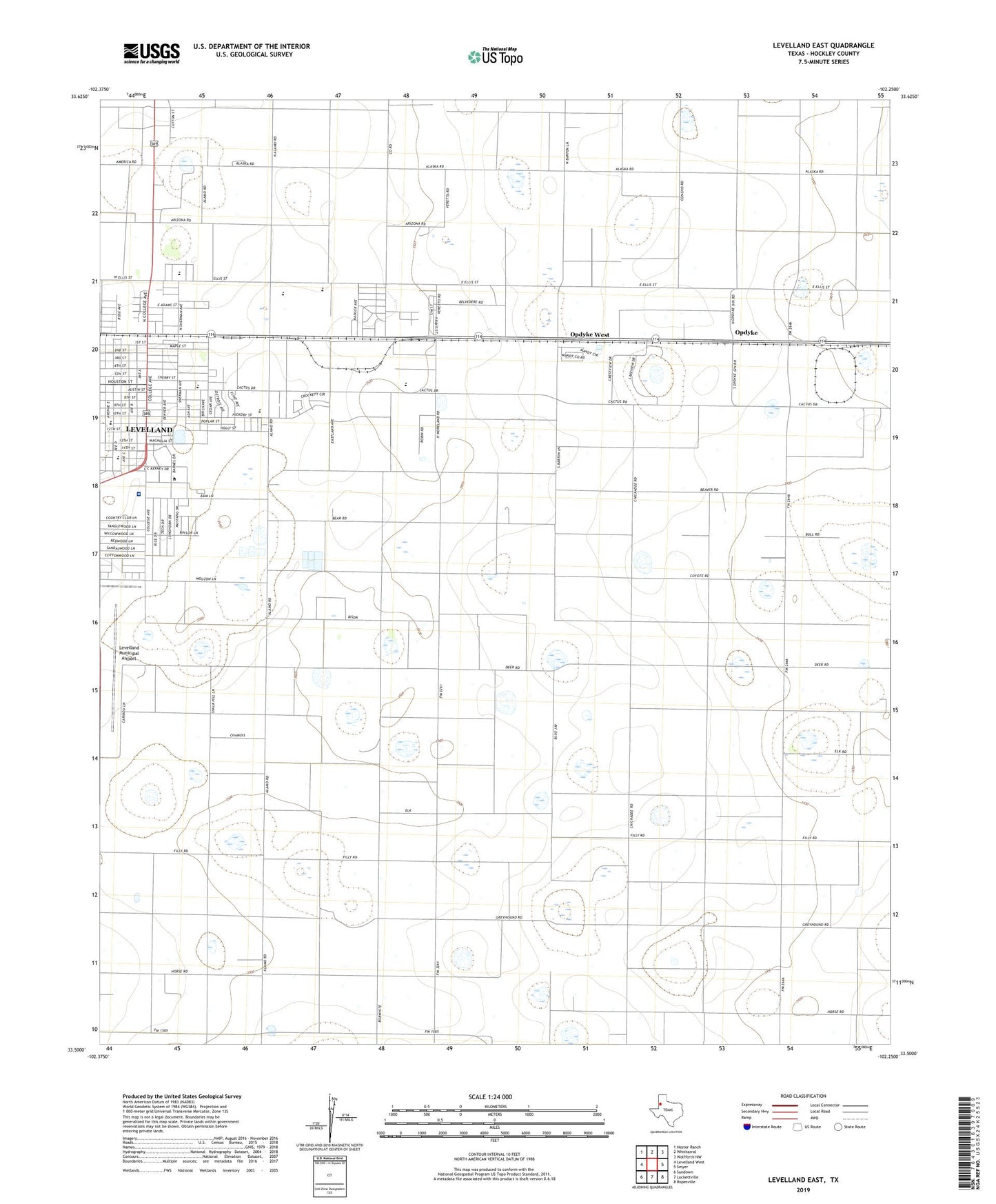
2022 topographic map quadrangle Levelland East in the state of Texas. Scale: 1:24000. Based on the newly updated USGS 7.5' US Topo map series, this map is in the following counties: Hockley. The map contains contour data, water features, and other items you are used to seeing on USGS maps, but also has updated roads and other features. This is the next generation of topographic maps. Printed on high-quality waterproof paper with UV fade-resistant inks.
Quads adjacent to this one:
West: Levelland West
Northwest: Hester Ranch
North: Whitharral
Northeast: Wolfforth NW
East: Smyer
Southeast: Ropesville
South: Lockettville
Southwest: Sundown
This map covers the same area as the classic USGS quad with code o33102e3.
Contains the following named places: Cactus Drive Church of Christ, Cactus Drive School, Cactus Elementary School, Capitol Elementary School, Capitol School, Carver School, Christ United Methodist Church, Church of Emmanuel, City of Levelland, College Avenue Baptist Church, Country Club Park, Covenant Hospital Levelland, First Baptist Church, Hockley County, Kauffman Park, Levelland Country Club, Levelland High School, Levelland Junior High School, Levelland Middle School, Levelland Municipal Airport, Lobb Stadium, Lobo Stadium, Morning Star Baptist Church, My Fathers House Church, Opdyke, Opdyke West, Park Drive Church, Saint Michaels Catholic Church, Saint Michaels School, Sherman Park, South Elementary School, South Plains Junior College, South School, Town of Opdyke West